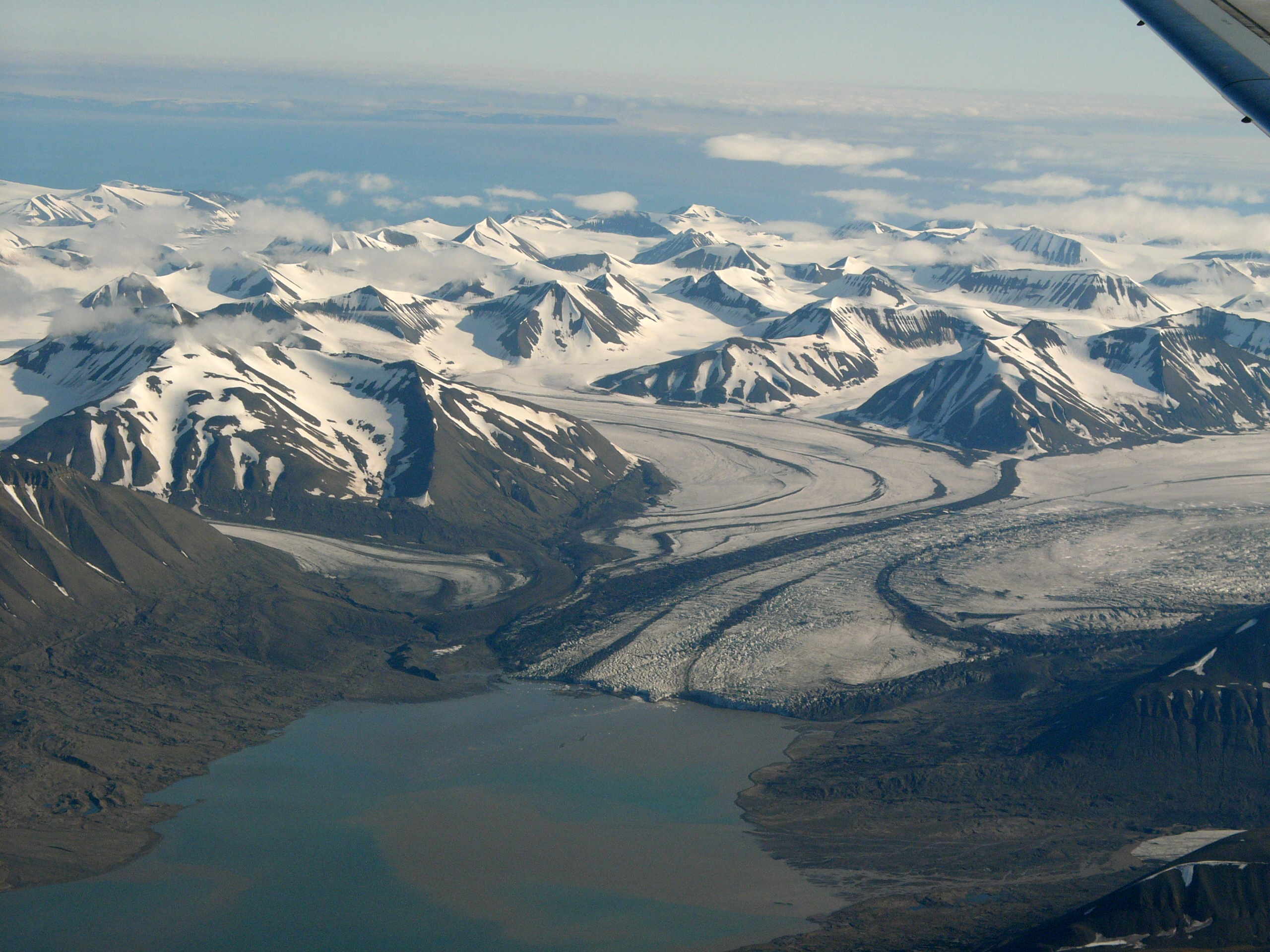
Rindersbukta on:
[Wikipedia]
[Google]
[Amazon]
 Rindersbukta is a bay in
 Rindersbukta is a bay in
 Nathorst Land
Nathorst Land is the land area between Van Keulenfjorden and Van Mijenfjorden on Spitsbergen, Svalbard.
The area is named after Alfred Gabriel Nathorst
Alfred Gabriel Nathorst (7 November 1850 – 20 January 1921) was a Swedish Arctic ...
and Heer Land Heer Land is a land area on the east coast of Spitsbergen, Svalbard. It is bordered by Rindersbukta to the southwest, Braganzavågen and Kjellströmdalen to the northwest, Storfjorden to the east and southeast, and Torell Land to the south. I ...
at Spitsbergen
Spitsbergen (; formerly known as West Spitsbergen; Norwegian: ''Vest Spitsbergen'' or ''Vestspitsbergen'' , also sometimes spelled Spitzbergen) is the largest and the only permanently populated island of the Svalbard archipelago in northern Norw ...
, Svalbard
Svalbard ( , ), also known as Spitsbergen, or Spitzbergen, is a Norwegian archipelago in the Arctic Ocean. North of mainland Europe, it is about midway between the northern coast of Norway and the North Pole. The islands of the group range ...
. It forms the southern branch of Van Mijenfjorden
Van Mijenfjorden is the third-longest fjord in Norway's Svalbard archipelago. It lies in the southern portion of Spitsbergen island, south of Nordenskiöld Land and north of Nathorst Land. The fjord is long, being separated from Bellsund further ...
. The glaciers of Scheelebreen and Paulabreen debouche into the bay. The bay is named after Dutch whaler Michiel Rinders.
References
Bays of Spitsbergen {{Spitsbergen-geo-stub