Quechula on:
[Wikipedia]
[Google]
[Amazon]
 Quechula is the name for a now-submerged village located in
Chiapas
Chiapas (; Tzotzil language, Tzotzil and Tzeltal language, Tzeltal: ''Chyapas'' ), officially the Free and Sovereign State of Chiapas ( es, Estado Libre y Soberano de Chiapas), is one of the states that make up the Political divisions of Mexico, ...
, Mexico
Mexico (Spanish: México), officially the United Mexican States, is a country in the southern portion of North America. It is bordered to the north by the United States; to the south and west by the Pacific Ocean; to the southeast by Guatema ...
. The town was founded in the mid-1500s by Bartolomé de las Casas
Bartolomé de las Casas, OP ( ; ; 11 November 1484 – 18 July 1566) was a 16th-century Spanish landowner, friar, priest, and bishop, famed as a historian and social reformer. He arrived in Hispaniola as a layman then became a Dominican friar ...
. The city was of strategic importance because it laid on the El Camino Real, a road that connected many important settlements in central Mexico, including Mérida and Campeche City
San Francisco de Campeche (; yua, Ahk'ìin Pech, ), 19th c., also known simply as Campeche, is a city in Campeche Municipality in the state of Campeche, Mexico on the shore of the Bay of Campeche of the Gulf of Mexico. Both the seat of the munic ...
. A large, grandiose church was constructed in the town due to the belief that the city would one day boast a large population. However, this never came to pass, and according to Carlos Navarrete, an architect who assisted with a report on the structure, it is unlikely the church ever had an official priest and it was probably served only by priests from other local dioceses.
After a plague affected the town in the late 18th century, Quechula and the church were all but abandoned. The construction of the Malpaso Dam
The Malpaso Dam, officially known as the Nezahualcóyotl Dam, is located in the Centro region of Chiapas, Mexico near the border with Tabasco and Veracruz. It was the first of several major dams built on the Grijalva River to generate hydroelectri ...
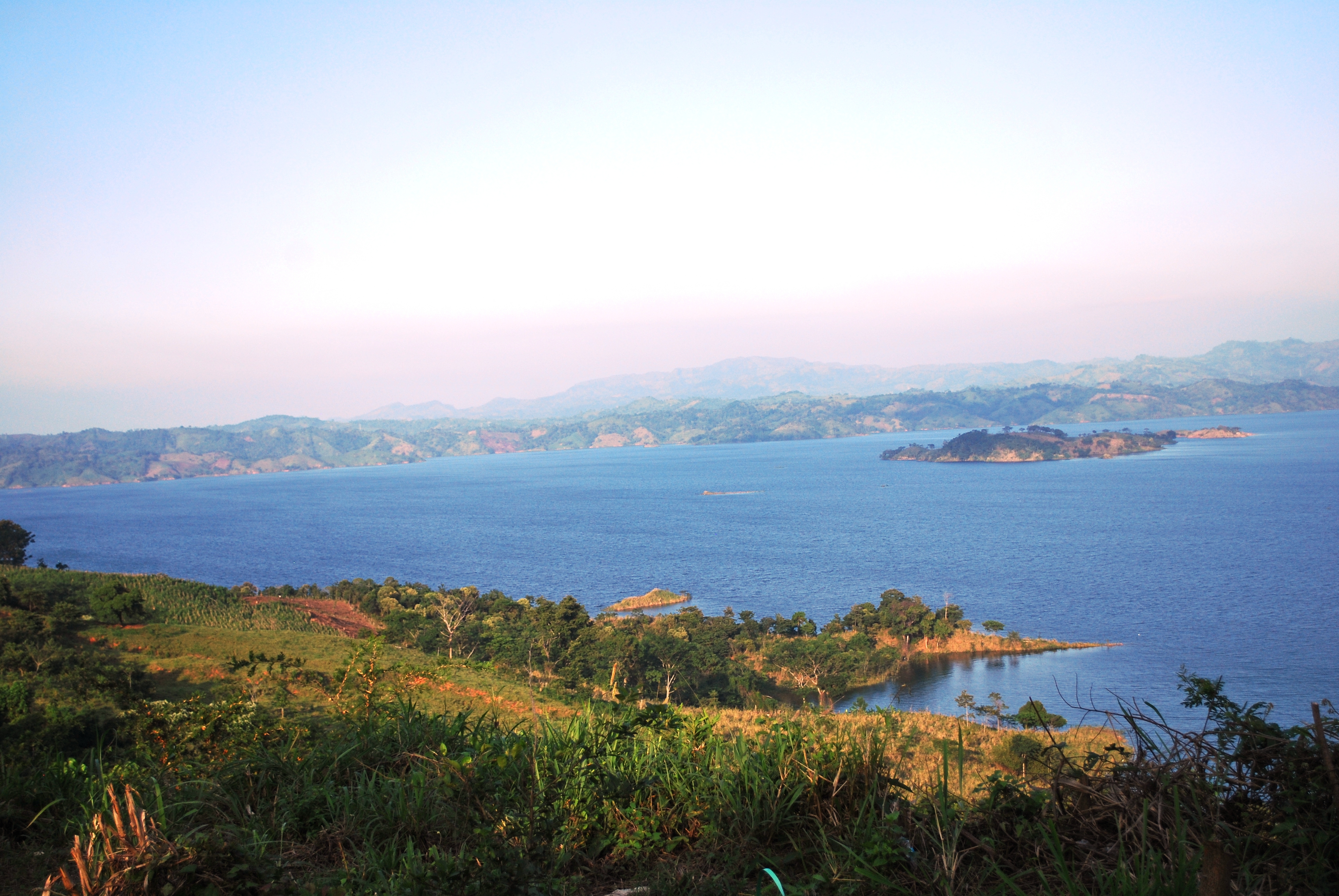
in 1966 resulted in the whole area being flooded. As such, the large church slipped beneath the waves of the Nezahualcóyotl Reservoir. However, in 2002 and 2015, water levels receded so much that the ruins of the old church became visible once again. In 2002, the water was so low that people were even able to walk out to the church ruin and explore it.
References
Histories of cities in Mexico Destroyed towns Submerged places {{chiapas-geo-stub