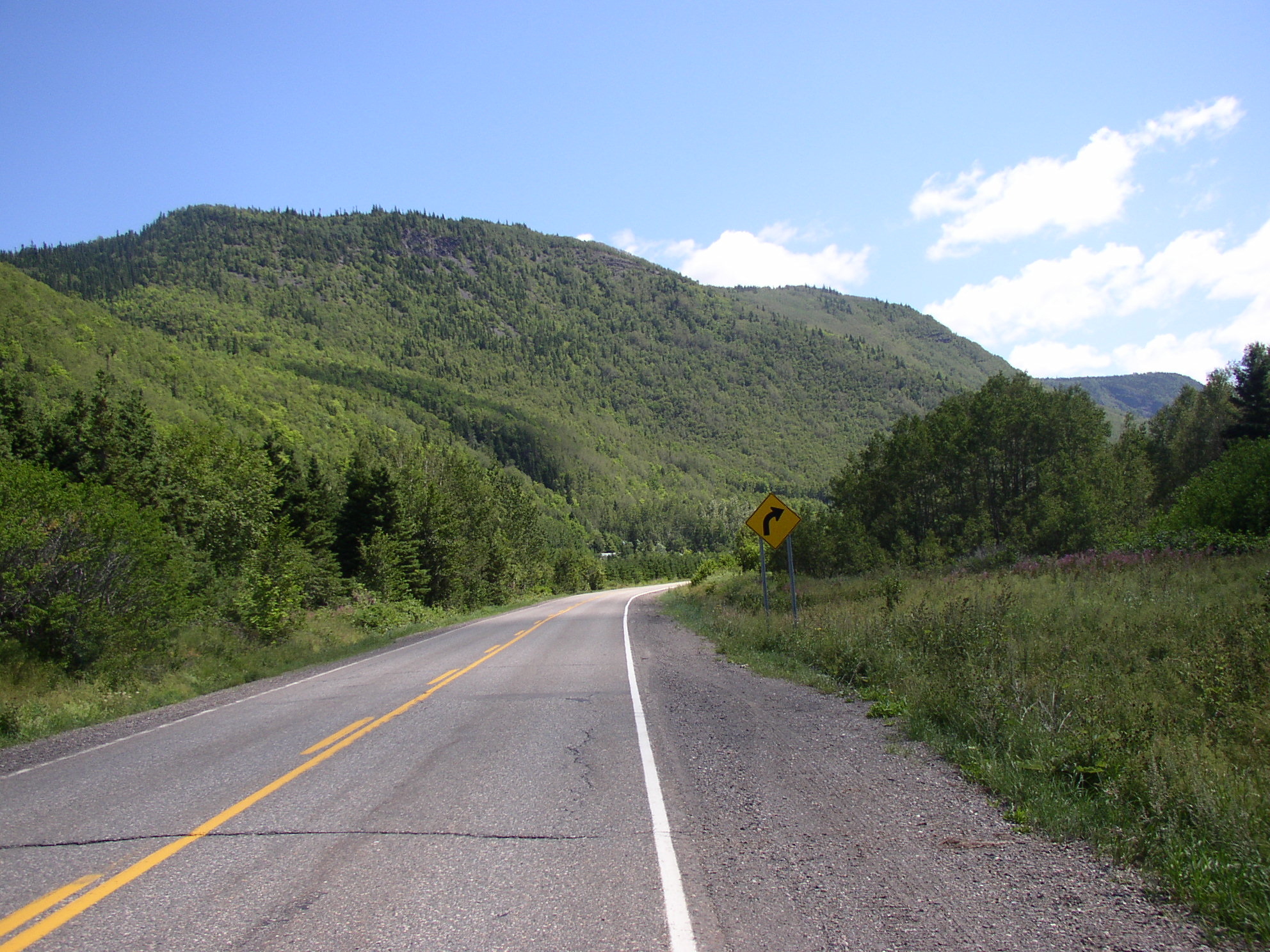
Quebec Route 198 on:
[Wikipedia]
[Google]
[Amazon]
Route 198 is a 132 km two-lane highway which cuts through the

Québec Official Road Map
198 Roads in Gaspésie–Îles-de-la-Madeleine Transport in Gaspé, Quebec {{coord, 48, 51, 39.2, N, 65, 5, 10.2, W, display=title, region:CA-QC_scale:100000_type:landmark
Appalachian Mountains
The Appalachian Mountains, often called the Appalachians, (french: Appalaches), are a system of mountains in eastern to northeastern North America. The Appalachians first formed roughly 480 million years ago during the Ordovician Period. They ...
in the Gaspé Peninsula
The Gaspé Peninsula, also known as Gaspesia (; ), is a peninsula along the south shore of the Saint Lawrence River that extends from the Matapedia Valley in Quebec, Canada, into the Gulf of Saint Lawrence. It is separated from New Brunswick o ...
, Quebec
Quebec ( ; )According to the Canadian government, ''Québec'' (with the acute accent) is the official name in Canadian French and ''Quebec'' (without the accent) is the province's official name in Canadian English is one of the thirtee ...
, Canada. It acts both as a shortcut to get to Gaspé without having to go through many small villages and steep climbs on Route 132, and it also is the only link to Murdochville, the one municipality along this long stretch of highway. Route 198 starts at the junction of Route 132 in L'Anse-Pleureuse and ends again at the junction of Route 132 in Gaspé.
Municipalities along Route 198
* Saint-Maxime-du-Mont-Louis * Mont-Albert * Murdochville * Collines-du-Basque * Rivière-Saint-Jean * Gaspé
See also
*List of Quebec provincial highways
This is a list of highways maintained by the government of Quebec.
Autoroutes
The Autoroute system in Quebec is a network of expressways which operate under the same principle of controlled access as the Interstate Highway System in the United ...
References
External links
Québec Official Road Map
198 Roads in Gaspésie–Îles-de-la-Madeleine Transport in Gaspé, Quebec {{coord, 48, 51, 39.2, N, 65, 5, 10.2, W, display=title, region:CA-QC_scale:100000_type:landmark