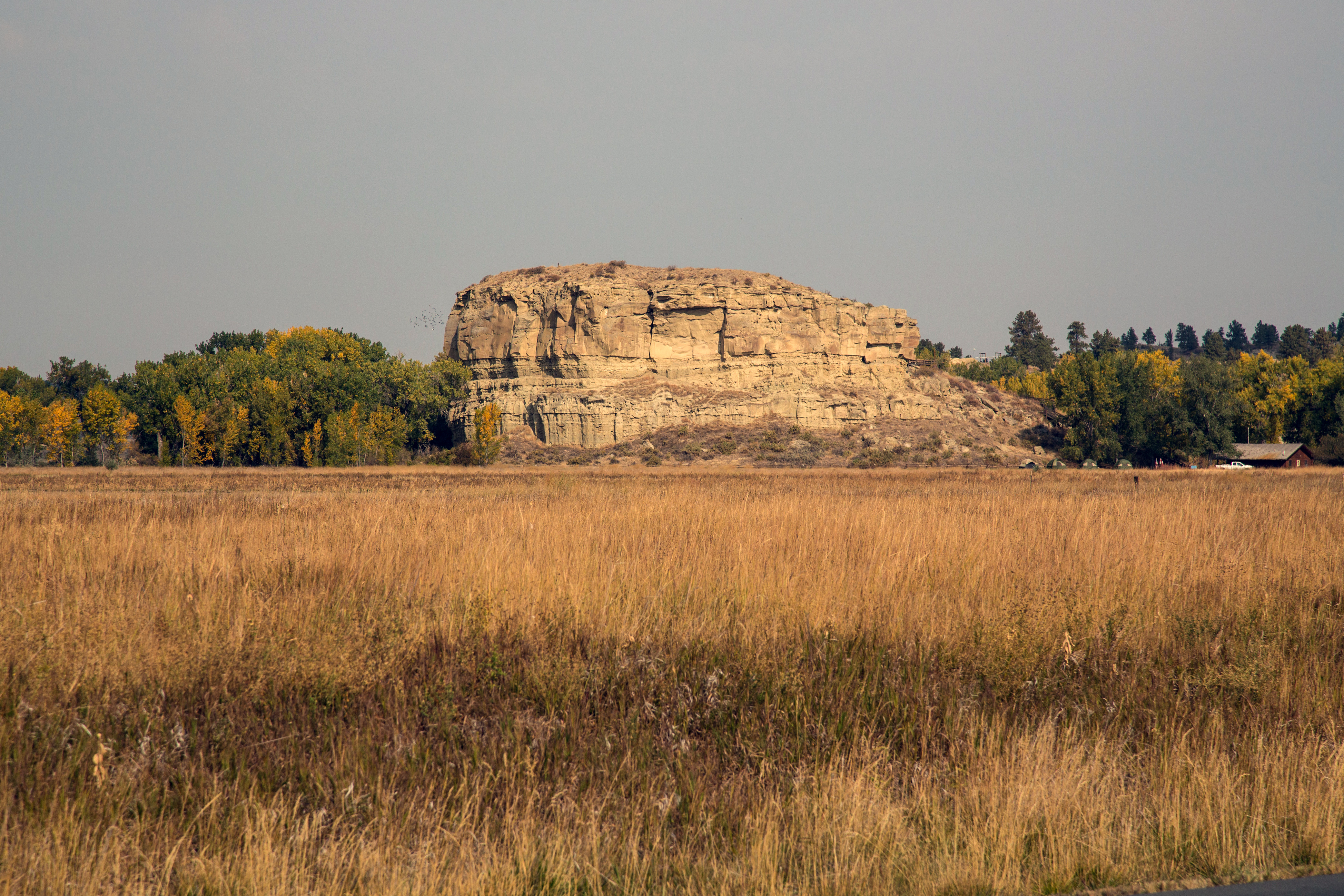
Pompeys Pillar (community), Montana on:
[Wikipedia]
[Google]
[Amazon]
Pompeys Pillar is a
 The town of Pompeys Pillar was founded in 1907 and was named after and situated less than a mile east of
Census Designated Place
A census-designated place (CDP) is a concentration of population defined by the United States Census Bureau for statistical purposes only.
CDPs have been used in each decennial census since 1980 as the counterparts of incorporated places, suc ...
in Yellowstone County
Yellowstone County is the most populous county in the U.S. state of Montana. As of the 2020 census, the population was 164,731. Its county seat is Billings. Yellowstone County is named for the Yellowstone River which roughly bisects the county ...
, Montana
Montana () is a state in the Mountain West division of the Western United States. It is bordered by Idaho to the west, North Dakota and South Dakota to the east, Wyoming to the south, and the Canadian provinces of Alberta, British Columb ...
, United States and has a postal ZIP code (59064).
History
 The town of Pompeys Pillar was founded in 1907 and was named after and situated less than a mile east of
 Pompeys Pillar National Monument
Pompeys Pillar National Monument is a rock formation located in south central Montana, United States. Designated a National Monument on January 17, 2001, and managed by the U.S. Bureau of Land Management in conjunction with The Friends of Pom ...
, a 150 ft. tall sedimentary rock
Sedimentary rocks are types of rock that are formed by the accumulation or deposition of mineral or organic particles at Earth's surface, followed by cementation. Sedimentation is the collective name for processes that cause these particles ...
formation best known for William Clark
William Clark (August 1, 1770 – September 1, 1838) was an American explorer, soldier, Indian agent, and territorial governor. A native of Virginia, he grew up in pre-statehood Kentucky before later settling in what became the state of Miss ...
's inscription of his name and the date July 25, 1806 on its surface. The site also has significant evidence of human activity spanning an estimated 11,000 years.
The town of Pompeys Pillar was first planned out as a railroad station within the Huntley Project The Huntley Project is an irrigation project in southern Montana that was established by the United States Bureau of Reclamation in 1907. The district includes the towns of Huntley, Worden, Ballantine, and Pompeys Pillar.
Since the Huntley Proj ...
, an irrigation project managed by the United States Bureau of Reclamation
The Bureau of Reclamation, and formerly the United States Reclamation Service, is a federal agency under the U.S. Department of the Interior, which oversees water resource management, specifically as it applies to the oversight and opera ...
.
A Catholic
The Catholic Church, also known as the Roman Catholic Church, is the largest Christian church, with 1.3 billion baptized Catholics worldwide . It is among the world's oldest and largest international institutions, and has played a ...
church and a Union Congregational
Congregational churches (also Congregationalist churches or Congregationalism) are Protestant churches in the Calvinist tradition practising congregationalist church governance, in which each congregation independently and autonomously runs its ...
church once existed in Pompeys Pillar. The Northern Pacific Railroad
The Northern Pacific Railway was a transcontinental railroad that operated across the northern tier of the western United States, from Minnesota to the Pacific Northwest. It was approved by Congress in 1864 and given nearly of land grants, whi ...
connected the town to Billings
Billings is the largest city in the U.S. state of Montana, with a population of 117,116 as of the 2020 census. Located in the south-central portion of the state, it is the seat of Yellowstone County and the principal city of the Billings Met ...
, about 29 miles southwest. A post office currently operates in the community.
Pompeys Pillar National Monument
Pompeys Pillar National Monument is a rock formation located in south central Montana, United States. Designated a National Monument on January 17, 2001, and managed by the U.S. Bureau of Land Management in conjunction with The Friends of Pom ...
was created in 2001 and placed under the jurisdiction of the Bureau of Land Management. In 2006 a new visitor's center and museum complex opened, coinciding with the bicentennial of the Lewis and Clark Expedition
The Lewis and Clark Expedition, also known as the Corps of Discovery Expedition, was the United States expedition to cross the newly acquired western portion of the country after the Louisiana Purchase. The Corps of Discovery was a select gr ...
. The site also has a small gift shop and other amenities.
Demographics
References
{{authority control Unincorporated communities in Yellowstone County, Montana Unincorporated communities in Montana Billings metropolitan area