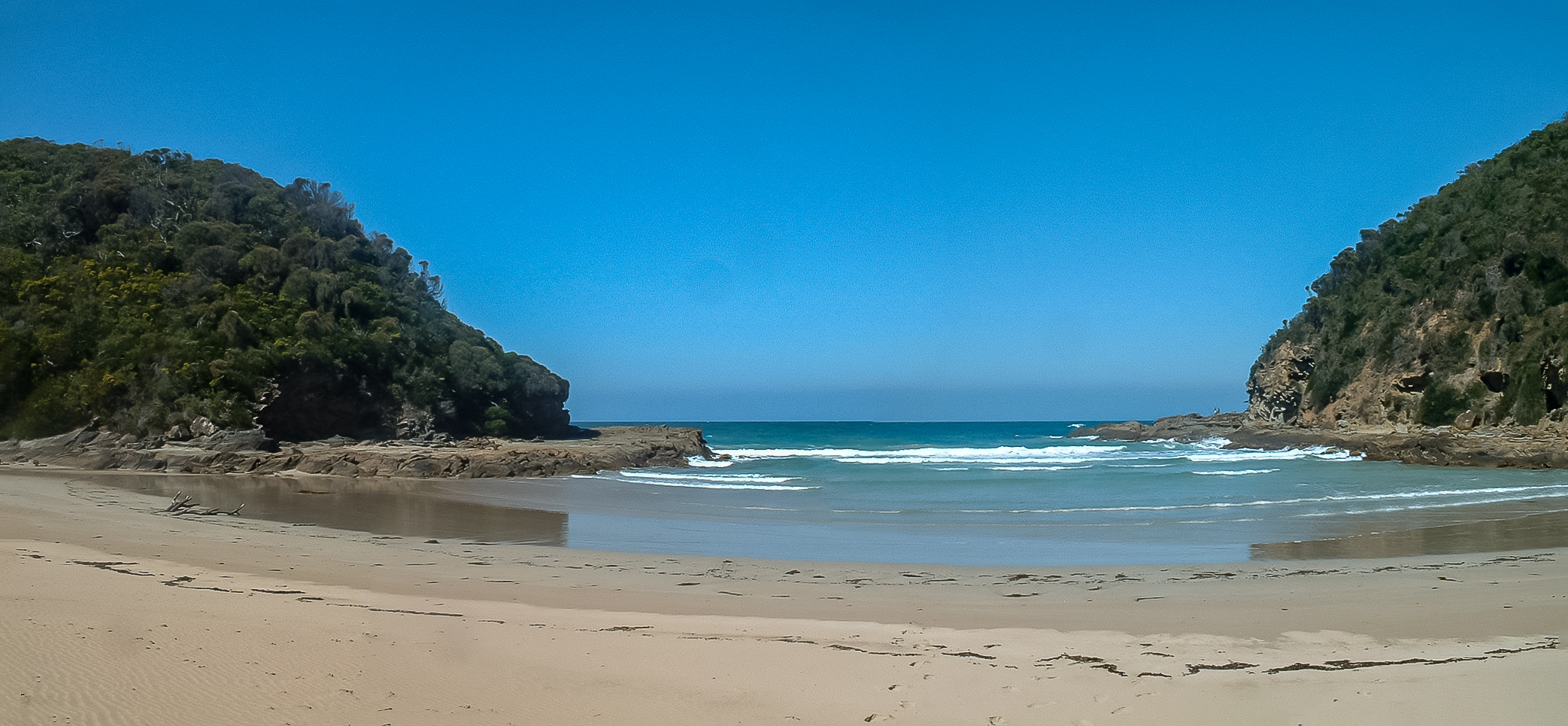
Parker River on:
[Wikipedia]
[Google]
[Amazon]
 The Parker River is a
 The Parker River is a
 perennial river
A perennial stream is a stream that has continuous flow of surface water throughout the year in at least parts of its catchment during seasons of normal rainfall, Water Supply Paper 494. as opposed to one whose flow is intermittent. In the abs ...
of the Corangamite catchment, located in the Otways region of the Australia
Australia, officially the Commonwealth of Australia, is a Sovereign state, sovereign country comprising the mainland of the Australia (continent), Australian continent, the island of Tasmania, and numerous List of islands of Australia, sma ...
n state of Victoria
Victoria most commonly refers to:
* Victoria (Australia), a state of the Commonwealth of Australia
* Victoria, British Columbia, provincial capital of British Columbia, Canada
* Victoria (mythology), Roman goddess of Victory
* Victoria, Seychelle ...
.
Location and features
The Parker River rises in theOtway Ranges
The Great Otway National Park is a national park located in the Barwon South West region of Victoria, Australia. The national park is situated approximately southwest of Melbourne, in the Otway Ranges, a low coastal mountain range. It conta ...
in southwest Victoria, near Parkers Spur and flows generally south through the Great Otway National Park
The Great Otway National Park is a national park located in the Barwon South West region of Victoria, Australia. The national park is situated approximately southwest of Melbourne, in the Otway Ranges, a low coastal mountain range. It conta ...
before reaching its river mouth
A river mouth is where a river flows into a larger body of water, such as another river, a lake/reservoir, a bay/gulf, a sea, or an ocean. At the river mouth, sediments are often deposited due to the slowing of the current reducing the carrying ...
and emptying into Bass Strait
Bass Strait () is a strait separating the island state of Tasmania from the Australian mainland (more specifically the coast of Victoria, with the exception of the land border across Boundary Islet). The strait provides the most direct waterwa ...
, east of Cape Otway
Cape Otway is a cape and a bounded locality of the Colac Otway Shire in southern Victoria, Australia on the Great Ocean Road; much of the area is enclosed in the Great Otway National Park.
History
Cape Otway was originally inhabited by the Gadub ...
and the Cape Otway Lighthouse
Cape Otway Lighthouse is a lighthouse on Cape Otway in southern Victoria, Australia. It is Victoria's oldest working lighthouse. During winter to spring, the lighthouse is a vantage point for land-based whale watching as migrating whales swim ve ...
, near Point Franklin. From its highest point, the river descends over its course.
Etymology
In the Aboriginal AustralianGadubanud language
The Kulinic languages form a branch of the Pama–Nyungan family in Victoria (Australia). They are:
* Kulin (3+, e.g. Woiwurrung)
*'' Kolakngat''
* Drual (2)
Warrnambool is Kulinic and may be Drual, but is too poorly attested to be certain. ...
the river is named ''Tjeerrang bundit'', meaning "twigs of spear tree".
The river was given its current name by surveyor George Smythe after Amelia Parker, to whom he was later married.
See also
*References
External links
* * Corangamite catchment Rivers of Barwon South West (region) Otway Ranges {{VictoriaAU-river-stub