Panmure Basin on:
[Wikipedia]
[Google]
[Amazon]
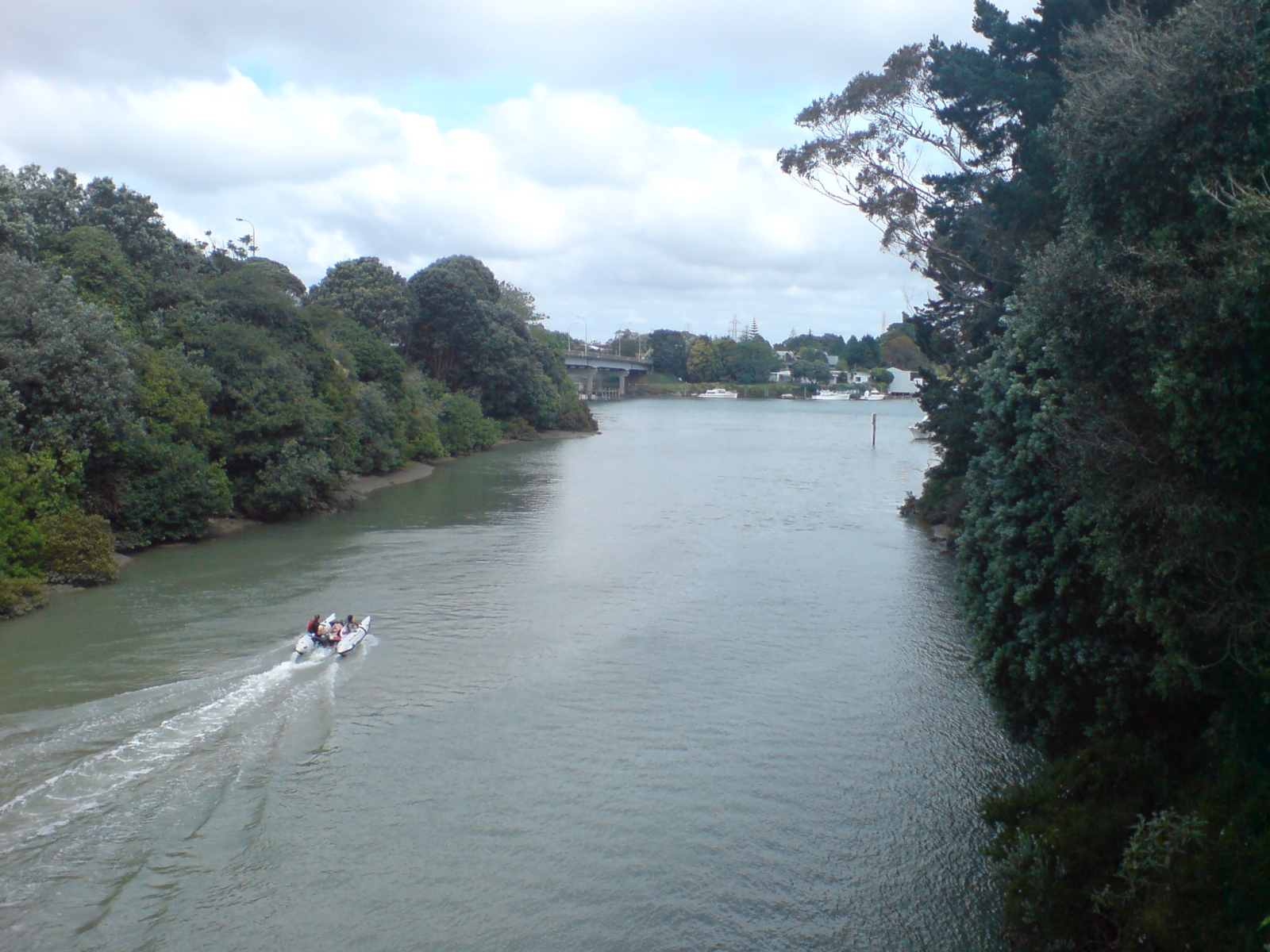
The Panmure Basin (traditionally known in
 The volcano erupted approximately 25,200 years ago. During the
Photographs of Panmure Basin
held in Auckland Libraries' heritage collections.
Photographs of Panmure Basin
held in
Māori
Māori or Maori can refer to:
Relating to the Māori people
* Māori people of New Zealand, or members of that group
* Māori language, the language of the Māori people of New Zealand
* Māori culture
* Cook Islanders, the Māori people of the C ...
as Kaiahiku or Te Kopua Kai-a-Hiku), also sometimes known as the Panmure Lagoon, is a tidal estuary
An estuary is a partially enclosed coastal body of brackish water with one or more rivers or streams flowing into it, and with a free connection to the open sea. Estuaries form a transition zone between river environments and maritime environment ...
within a volcanic crater
A volcanic crater is an approximately circular depression in the ground caused by Volcano, volcanic activity. It is typically a bowl-shaped feature containing one or more vents. During Types of volcanic eruptions, volcanic eruptions, molten magm ...
or maar
A maar is a broad, low-relief volcanic crater caused by a phreatomagmatic eruption (an explosion which occurs when groundwater comes into contact with hot lava or magma). A maar characteristically fills with water to form a relatively shallow ...
in New Zealand's Auckland volcanic field
The Auckland volcanic field is an area of monogenetic volcanoes covered by much of the metropolitan area of Auckland, New Zealand's largest city, located in the North Island. The approximately 53 volcanoes in the field have produced a diverse a ...
. It is located to the south of Panmure town centre.
Geology
 The volcano erupted approximately 25,200 years ago. During the
 Last Glacial Maximum
The Last Glacial Maximum (LGM), also referred to as the Late Glacial Maximum, was the most recent time during the Last Glacial Period that ice sheets were at their greatest extent.
Ice sheets covered much of Northern North America, Northern Eur ...
, the basin was a freshwater lake. When sea-levels rose, the estuarine waters of the Tāmaki River
The Tāmaki River or Tāmaki Estuary is mostly an estuarial arm and harbour of the Hauraki Gulf, within the city of Auckland in New Zealand.
breached the lake, turning it into a tidal estuary. A small scoria cone is found in the centre of the basin, obscured by layers of mud.
History
The traditional name of the basin was Te Kai a Hiku. It features in traditionalTāmaki Māori
Tāmaki Māori are Māori ''iwi'' and ''hapū'' (tribes and sub-tribes) who have a strong connection to Tāmaki Makaurau (the Auckland Region), and whose rohe was traditionally within the region. Among Ngā Mana Whenua o Tāmaki Makaurau (the M ...
stories as the eating place of the taniwha
In Māori mythology, taniwha () are large supernatural beings that live in deep pools in rivers, dark caves, or in the sea, especially in places with dangerous currents or deceptive breakers (giant waves).
They may be considered highly respected ...
Moko-ika-hiku-waru. The headland between the basin and the Tāmaki River was the location of the Ngāti Pāoa
Ngāti Pāoa is a Māori people, Māori ''iwi'' (tribe) that has extensive links to the Hauraki and Waikato tribes of New Zealand. Its traditional lands stretch from the western side of the Hauraki Plains to Auckland. They also settled on Hauraki ...
pā Mauināina (also known as Maunga-inaina and Taumata-inaina).
In February 2008, scientists announced that drilling had discovered a scoria cone buried within the mud filling the explosion crater. Although newspaper journalists inferred that the discovered scoria cone was a much younger and different volcano from Panmure Basin, geologists consider that the scoria cone was produced as the second phase of the eruption of Panmure Basin explosion crater and tuff ring. The explosive phase was produced by the interaction of the magma with cold groundwater but once the water was used up the eruption switched to a dry phase of fire-fountaining producing the scoria cone from the same vent.Hayward, B.W., Murdoch, G., Maitland, G. 2011. ''Volcanoes of Auckland: The essential guide.'' Auckland University Press. Thus Panmure Basin is no different from a number of other volcanoes in the Auckland volcanic field, such as the Auckland Domain
The Auckland Domain, also known as Pukekawa / Auckland Domain, is a large park in Auckland, New Zealand. It is the oldest park in the city, and at is one of the largest. Located in the central suburb of Grafton, the park land is the remains o ...
Volcano, Māngere Lagoon Volcano, Waitomokia
Waitomokia (also Moerangi, Gabriel Hill or Mount Gabriel) is a volcano in the Auckland volcanic field. Waitomokia's wide tuff crater contained three small scoria cones up to high, one with a crater, which were quarried in the 1950s.
Geology ...
, Te Tatua-a-Riukiuta and Crater Hill (each with one or more scoria cones inside their explosion crater), except that Panmure Basin's small central scoria cone was buried.
See also
*''Volcanoes of Auckland: The Essential guide'' - Hayward, B.W., Murdoch, G., Maitland, G.; Auckland University Press, 2011. *''Volcanoes of Auckland: A Field Guide''. Hayward, B.W.; Auckland University Press, 2019, 335 pp. .References
External links
Photographs of Panmure Basin
held in Auckland Libraries' heritage collections.
Photographs of Panmure Basin
held in
Auckland War Memorial Museum
The Auckland War Memorial Museum Tāmaki Paenga Hira (or simply the Auckland Museum) is one of New Zealand's most important museums and war memorials. Its collections concentrate on New Zealand history (and especially the history of the Aucklan ...
's heritage collections.
{{Maungakiekie-Tāmaki Local Board Area
Auckland volcanic field
Coastline of New Zealand
Maars of New Zealand
Estuaries of New Zealand
Volcanoes of the Auckland Region
Maungakiekie-Tāmaki Local Board Area