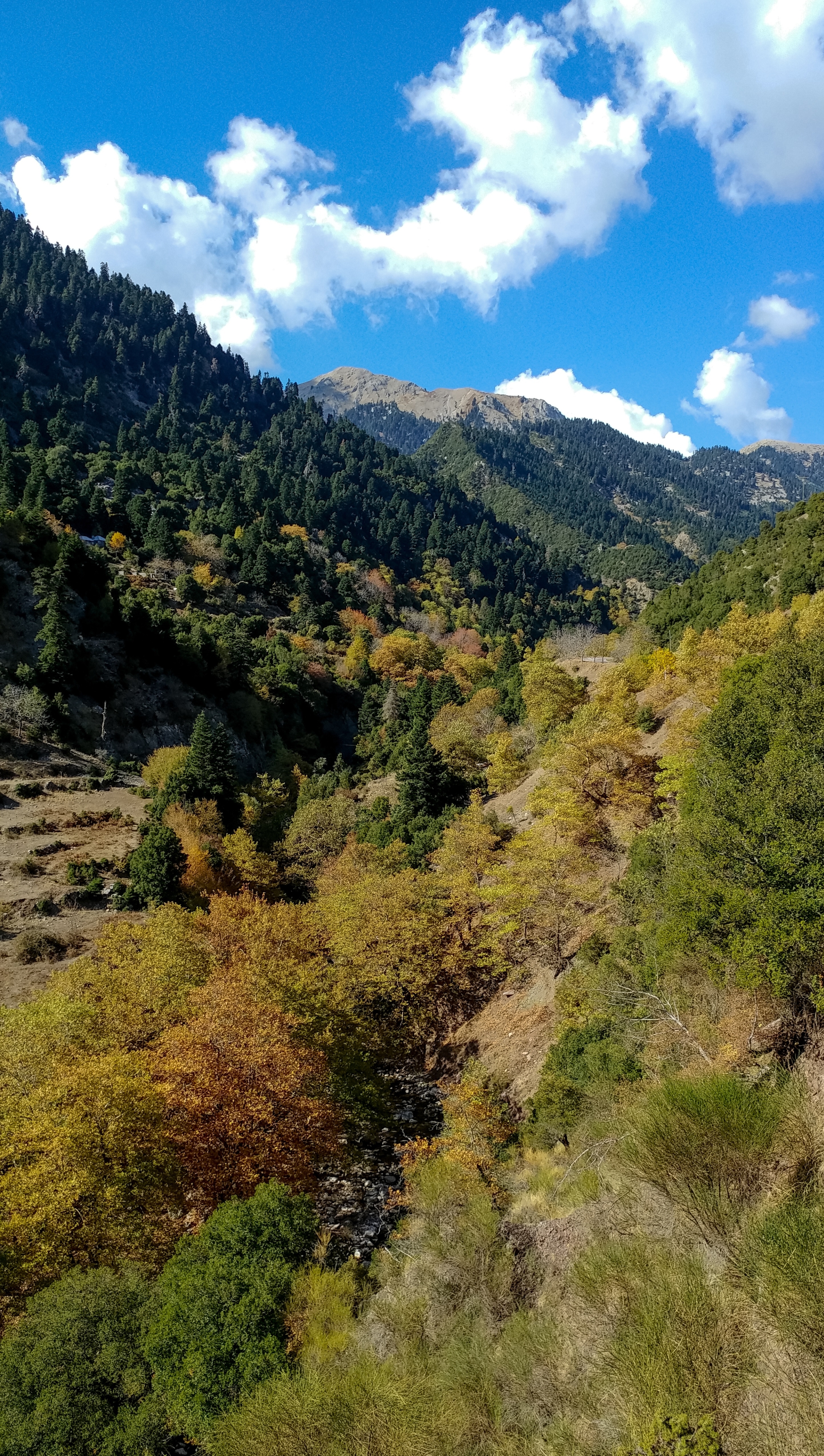
Panaitoliko (mountain range) on:
[Wikipedia]
[Google]
[Amazon]
 Panaitoliko ( el, Παναιτωλικό) is a mountain range in the northeastern part of
 Panaitoliko ( el, Παναιτωλικό) is a mountain range in the northeastern part of
 Aetolia-Acarnania
Aetolia-Acarnania ( el, Αιτωλοακαρνανία, ''Aitoloakarnanía'', ) is one of the regional units of Greece. It is part of the geographic region of Central Greece and the administrative region of West Greece. A combination of the histor ...
and southwestern Evrytania
Evrytania ( el, Ευρυτανία, ; Latin: ''Eurytania'') is one of the regional units of Greece. It is part of the region of Central Greece. Its capital is Karpenisi (approx. 8,000 inhabitants).
Geography
Evrytania is almost entirely formed ...
, in western Greece
Greece,, or , romanized: ', officially the Hellenic Republic, is a country in Southeast Europe. It is situated on the southern tip of the Balkans, and is located at the crossroads of Europe, Asia, and Africa. Greece shares land borders ...
. Its highest summit, Katelanos ( el, Κατελάνος), is the highest point of Aetolia-Acarnania at 1,924 m. Its length is approximately 25 km long from east to west and its width is approximately 15 km wide. The nearest mountains are Kaliakouda to the northeast, the mountains of Nafpaktia
Nafpaktia ( el, Ναυπακτία), Latinized Naupactia, is the historical name for the region around the port town of Nafpaktos (Naupactus) in Central Greece.
It is also the name of a municipality in the Aetolia-Acarnania regional unit, West G ...
to the southeast and Valtou to the northwest. Lake Trichonida
Lake Trichonida ( el, Λίμνη Τριχωνίδα ''Limni Trichonida'', Ancient Greek: Τριχωνίς ''Trichonis'') is the largest natural lake in Greece. It is situated in the eastern part of Aetolia-Acarnania, southeast of the city of Agrin ...
lies to the south. The Panaitoliko extends from the Acheloos valley in the northwest to the Evinos
The Evinos ( el, Εύηνος) is a river in western Greece, flowing into the Gulf of Patras. Its source is in the northern Vardousia mountains, near the village Artotina, Phocis. The river flows in a generally southwestern direction, for most o ...
valley in the east. There are forests in the lower areas, and grasslands in the higher elevations.
The municipal unit of Panaitoliko
Panaitoliko (Greek: Παναιτωλικό) is a former municipality in Aetolia-Acarnania, West Greece, Greece. Since the 2011 local government reform it is part of the municipality Agrinio
Agrinio ( Greek: Αγρίνιο, , Latin: ''Agrinium'') ...
took its name from this mountain range. Villages near the Panaitoliko include Prousos in the north, Mesokomi in the northeast, Amvrakia in the southeast, Skoutera in the southwest and Agios Vlasios in the northwest.
References
{{DEFAULTSORT:Panaitoliko (Mountain Range) Landforms of Aetolia-Acarnania Mountain ranges of Greece Landforms of Western Greece Landforms of Evrytania Landforms of Central Greece