Oberkrämer on:
[Wikipedia]
[Google]
[Amazon]
 Oberkrämer is a
File:Bevölkerungsentwicklung Oberkrämer.pdf, Development of population since 1875 within the current Boundaries (Blue Line: Population; Dotted Line: Comparison to Population development in Brandenburg state; Grey Background: Time of
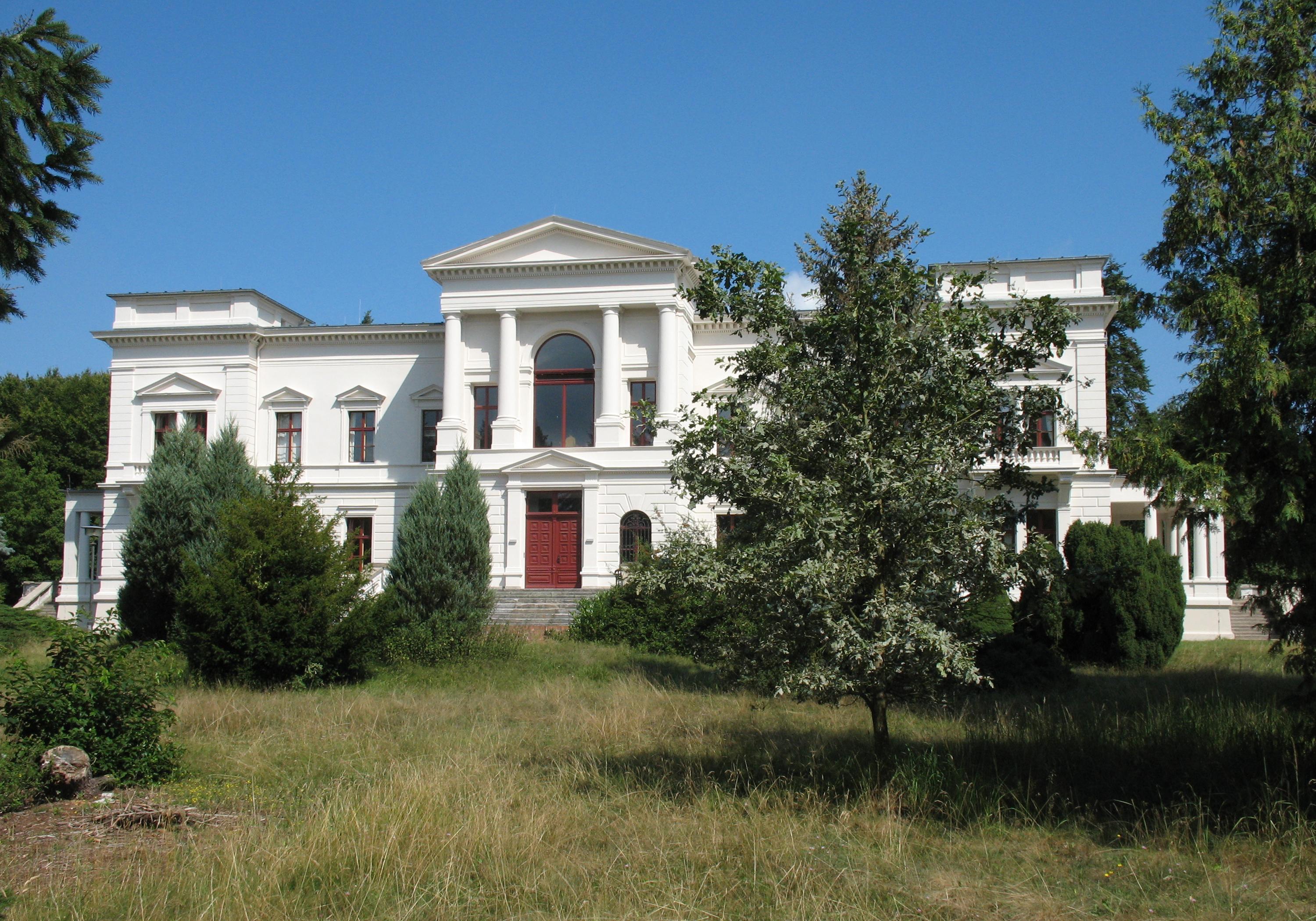
File:Schwante_Gutshaus.jpg, Manor
File:Schwante_am_Park.jpg, Park
File:Schwante_Wasserturm.jpg, Former water tower
 Oberkrämer is a
 municipality
A municipality is usually a single administrative division having corporate status and powers of self-government or jurisdiction as granted by national and regional laws to which it is subordinate.
The term ''municipality'' may also mean the go ...
in the Oberhavel
Oberhavel is a ''Kreis'' (district) in the northern part of Brandenburg, Germany. Its neighbouring districts are (clockwise from the north): Mecklenburg-Strelitz in Mecklenburg-Western Pomerania, the districts of Uckermark and Barnim, the ''Bunde ...
district, in Brandenburg
Brandenburg (; nds, Brannenborg; dsb, Bramborska ) is a states of Germany, state in the northeast of Germany bordering the states of Mecklenburg-Vorpommern, Lower Saxony, Saxony-Anhalt, and Saxony, as well as the country of Poland. With an ar ...
, Germany
Germany,, officially the Federal Republic of Germany, is a country in Central Europe. It is the second most populous country in Europe after Russia, and the most populous member state of the European Union. Germany is situated betwe ...
.
An experimental farm of wind turbines existed between 1941 and 1945 on the 50 m high Matthias mountain in the area.
Subdivisions
Oberkrämer consists of formerly separate municipalities, which as of 31 December 2001 merged with the new municipality of Oberkrämer. On 27 September 1998, the municipalities of Eichstädt, Neu-Vehlefanz and Vehlefanz merged into the new municipality of Oberkrämer. On 31 December 2001, the municipalities of Bärenklau, Bötzow, Marwitz and Schwante were merged into the municipality of Oberkrämer.Demography
Nazi Germany
Nazi Germany (lit. "National Socialist State"), ' (lit. "Nazi State") for short; also ' (lit. "National Socialist Germany") (officially known as the German Reich from 1933 until 1943, and the Greater German Reich from 1943 to 1945) was ...
; Red Background: Time of communist East Germany
East Germany, officially the German Democratic Republic (GDR; german: Deutsche Demokratische Republik, , DDR, ), was a country that existed from its creation on 7 October 1949 until its dissolution on 3 October 1990. In these years the state ...
)
File:Bevölkerungsprognosen Oberkrämer.pdf, Recent Population Development and Projections (Population Development before Census 2011 (blue line); Recent Population Development according to the Census in Germany
A national census in Germany (german: Volkszählung) was held every five years from 1875 to 1910. After the World Wars, only a few full population censuses have been held, the last in 1987. The most recent census, though not a national census, wa ...
in 2011 (blue bordered line); Official projections for 2005-2030 (yellow line); for 2020-2030 (green line); for 2017-2030 (scarlet line)
Photogallery
References
External links
Localities in Oberhavel {{Brandenburg-geo-stub