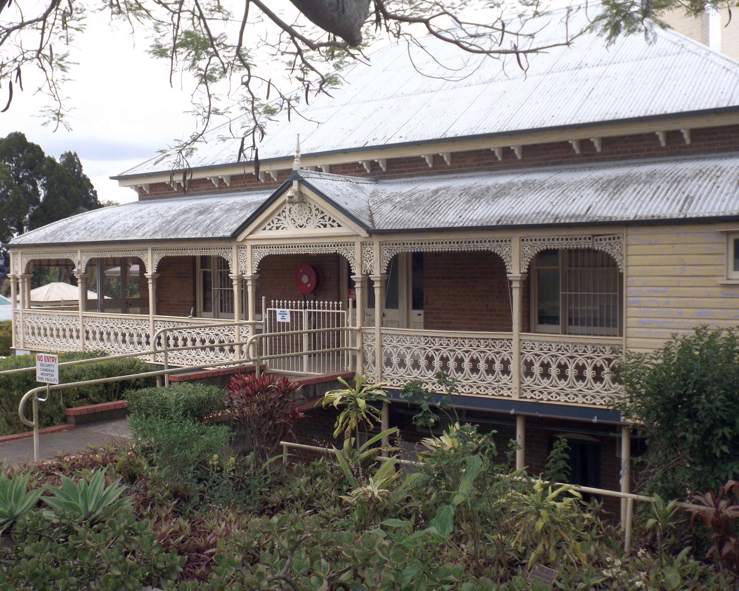
Newtown, Queensland (Ipswich) on:
[Wikipedia]
[Google]
[Amazon]
Newtown is a suburb in the
 Newtown contains a number of heritage-listed sites including:
* 68 Chermside Street () : St Michaels Nursing Home
* 4 Rockton Street (): Rockton
City of Ipswich
The City of Ipswich is a local government area in Queensland, Australia, located within the southwest of the Brisbane metropolitan area, including the urban area surrounding the city of Ipswich and surrounding rural areas.
Geography
The Ci ...
, Queensland
)
, nickname = Sunshine State
, image_map = Queensland in Australia.svg
, map_caption = Location of Queensland in Australia
, subdivision_type = Country
, subdivision_name = Australia
, established_title = Before federation
, establishe ...
, Australia. In the , Newtown had a population of 1,615 people.
Geography
Newtown is bordered by Queens Park to the west, to the north by Brisbane Road, the city's main arterial link to theIpswich Motorway
The Ipswich Motorway (M7) is a major road that connects Brisbane and Ipswich in South East Queensland, Australia. It commences at the junction of Ipswich Road and Granard Road and proceeds through to the M2 Logan Motorway interchange. It is t ...
.
A small set of shops lies on the five-ways intersection where Brisbane Road, Queen Victoria Parade, Glebe Road and Chermside Road meet.
History
The suburb takes its name from a housing estate sold by John Rankin about 1865. Newtown State School opened on 1 July 1882. In 1915 the school was moved to a new location and renamed Silkstone State School. In the , Newtown had a population of 1,615 people.Heritage listings
 Newtown contains a number of heritage-listed sites including:
* 68 Chermside Street () : St Michaels Nursing Home
* 4 Rockton Street (): Rockton
Transport
Newtown is serviced by East Ipswich railway station, which provides access to regularQueensland Rail City network
The Queensland Rail Citytrain network, provides urban, suburban and interurban electric passenger railway services in South East Queensland, Australia.
History
The first railway in Queensland did not run to Brisbane, but ran from Ipswich to ...
services to Brisbane, Ipswich
Ipswich () is a port town and borough in Suffolk, England, of which it is the county town. The town is located in East Anglia about away from the mouth of the River Orwell and the North Sea. Ipswich is both on the Great Eastern Main Line ...
and Rosewood
Rosewood refers to any of a number of richly hued timbers, often brownish with darker veining, but found in many different hues.
True rosewoods
All genuine rosewoods belong to the genus ''Dalbergia''. The pre-eminent rosewood appreciated ...
via Ipswich.
Amenities
* Spring Garden Park * Newtown ParkEducation
There are no schools in Newtown. The nearest primary schools are Ipswich Central State School inIpswich
Ipswich () is a port town and borough in Suffolk, England, of which it is the county town. The town is located in East Anglia about away from the mouth of the River Orwell and the North Sea. Ipswich is both on the Great Eastern Main Line ...
, Silkstone State School in Silkstone and Ipswich East State School in East Ipswich. The nearest secondary schools are Bremer State High School
, established = 1959
, principal = Ross Bailey
, type = Public, co-educational, secondary, day school
, city = Ipswich
, state = Queensland
, country = Australia
, coordinat ...
in Ipswich and Bundamba State Secondary College
Bundamba State Secondary College (formerly Bundamba State High School) is a public secondary school in the Ipswich suburb of Bundamba, Queensland, Australia. It was established in 1970 and named after its situated suburb of Bundamba.
It is ...
in Bundamba
Bundamba is a suburb of Ipswich in the City of Ipswich, Queensland, Australia. In the Bundamba had a population of 6,514 people.
Geography
The Bremer River forms the western part of the suburb's northern boundary. The Warrego Highway enter ...
.
References
External links
* {{Ipswich City Suburbs of Ipswich, Queensland