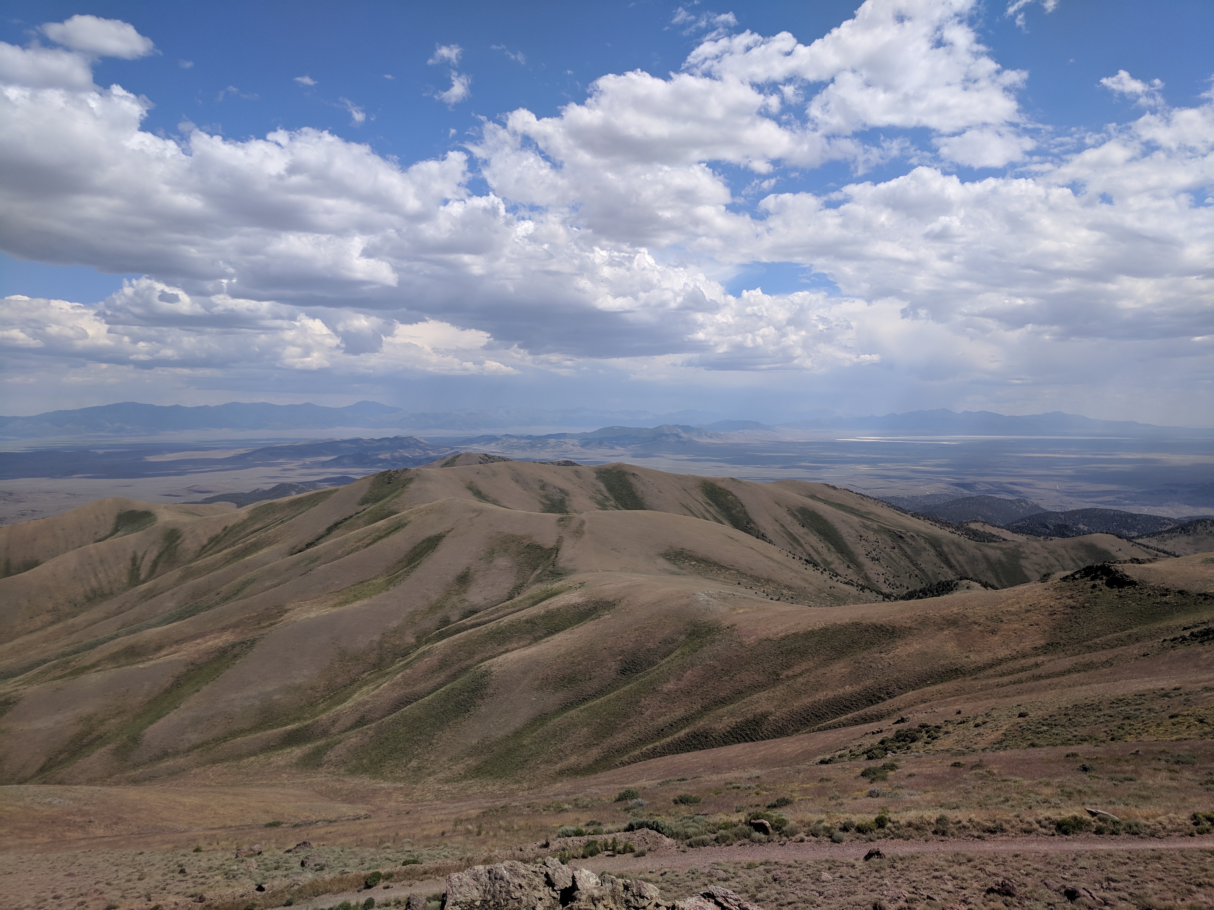
New Pass Range on:
[Wikipedia]
[Google]
[Amazon]
The New Pass Range is a mountain range in Lander and 
Churchill
Sir Winston Leonard Spencer Churchill (30 November 187424 January 1965) was a British statesman, soldier, and writer who served as Prime Minister of the United Kingdom twice, from 1940 to 1945 during the Second World War, and again from 1 ...
counties of Nevada
Nevada ( ; ) is a U.S. state, state in the Western United States, Western region of the United States. It is bordered by Oregon to the northwest, Idaho to the northeast, California to the west, Arizona to the southeast, and Utah to the east. N ...
. The range is a north-south trending range which straddles the Lander-Churchill county boundary for about . The highest peak, New Pass Peak, has an elevation of . US Route 50
U.S. Route 50 or U.S. Highway 50 (US 50) is a major east–west route of the U.S. Highway system, stretching from Interstate 80 (I-80) in West Sacramento, California, to Maryland Route 528 (MD 528) in Ocean City, Maryland, on the Atlantic O ...
crosses New Pass Summit on the south end of the range between Austin
Austin is the capital city of the U.S. state of Texas, as well as the seat and largest city of Travis County, with portions extending into Hays and Williamson counties. Incorporated on December 27, 1839, it is the 11th-most-populous city ...
to the east and Fallon on to the west.''Nevada Atlas and Gazetteer,'' DeLorme, 8th ed. 2012, pp. 37 and 45 The range was named from an early settler's belief that his route through the mountains was a "new pass" through the area.
The Desatoya Mountains
The Desatoya Mountains are located in central Nevada in the western United States, approximately 117 miles east of Reno by road. The range runs in a southwest-northeasterly direction along the border of Churchill and Lander counties, reaching a m ...
lie to the southwest and the Clan Alpine Mountains
The Clan Alpine Mountains are a mountain range located in west-central Nevada in the United States. The range lies in a southwest-northeasterly direction in Churchill County, and contains Mount Augusta, at above sea level. The mountains lie to th ...
to the west. To the north is the Augusta Mountains
The Augusta Mountains are a small mountain range in Pershing, Churchill and Lander counties of Nevada.''Nevada Atlas and Gazetteer,'' DeLorme, 8th ed., 2012, p. 37.
To the northeast the range merges with the Fish Creek Range. To the north acros ...
with Antelope Valley
The Antelope Valley is located in northern Los Angeles County, California, and the southeast portion of Kern County, California, and constitutes the western tip of the Mojave Desert. It is situated between the Tehachapi, Sierra Pelona, and the ...
to the northeast. To the east is Ravenswood Mountain at the south end of the Shoshone Range
The Shoshone Range is a mountain range in Lander County, Nevada. The northeast end of the range extends into Eureka County at Shoshone Point on the Humboldt River.''Crescent Valley, Nevada,'' 30x60 Minute Quadrangle, USGS, 1987 (40116-A1-TM-10 ...
and Nevada State Route 305
State Route 305 (SR 305) is a state highway in Lander County, Nevada. It is the only state highway to connect the southern and northern areas of the county. It runs north from U.S. Route 50 at Austin to Battle Mountain, where it crosses Inters ...
. To the southeast across the Reese River
The Reese River is a tributary of the Humboldt River, located in central Nevada in the western United States.
The Reese rises in the southern section of the Toiyabe Range, on the flanks of Arc Dome. In its upper reaches, the Reese River is a ...
Valley is Austin at the north end of the Toiyabe Range
The Toiyabe Range is a mountain range in Lander and Nye counties, Nevada, United States. Most of the range is included within the Humboldt-Toiyabe National Forest. The highest point in the range, near its southern end, is Arc Dome (11,788 ...
.

References
Mountain ranges of Nevada Mountain ranges of Churchill County, Nevada Mountain ranges of Lander County, Nevada {{ChurchillCountyNV-geo-stub