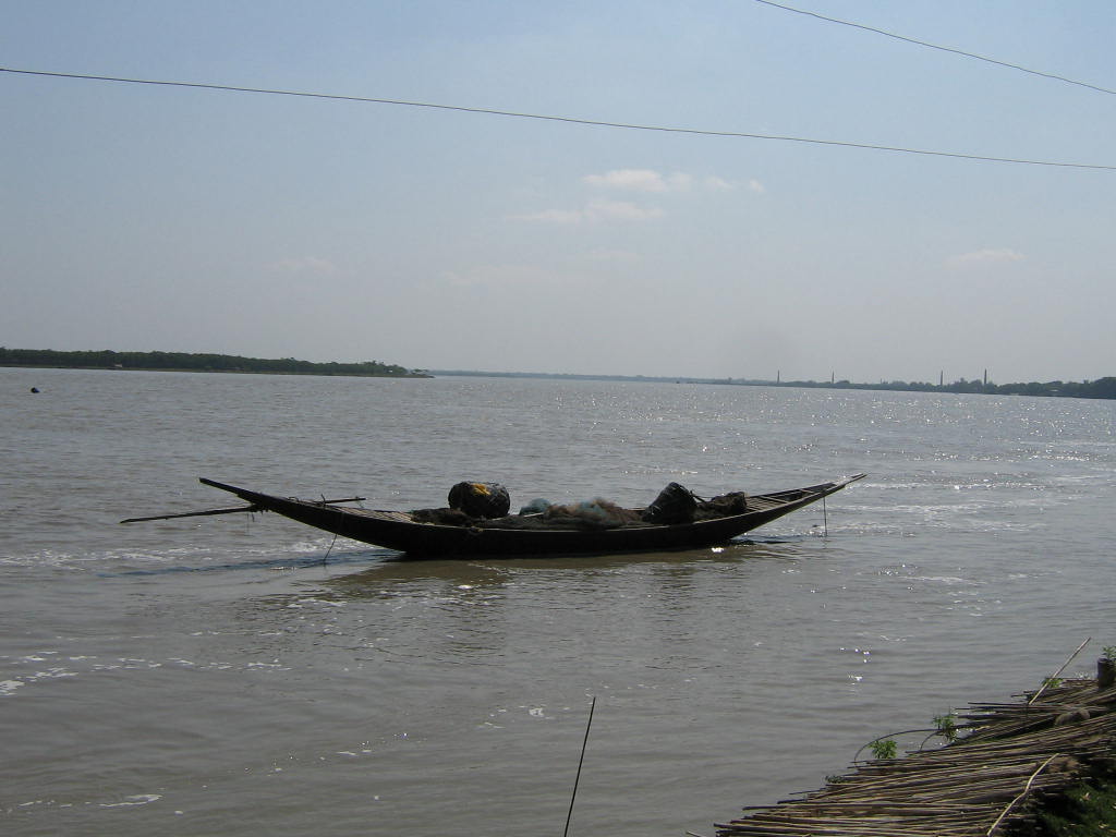
Nabaganga River on:
[Wikipedia]
[Google]
[Amazon]
Nabaganga ( bn, নবগঙ্গা নদী) is the fourth-biggest river in

Bangladesh
Bangladesh (}, ), officially the People's Republic of Bangladesh, is a country in South Asia. It is the eighth-most populous country in the world, with a population exceeding 165 million people in an area of . Bangladesh is among the mos ...
and a tributary of Mathabhanga
Mathabhanga is a city along Jaldhaka River and a municipality in Cooch Behar district in the Indian state of West Bengal. It is the headquarters of the Mathabhanga subdivision.
Geography
Location
Mathabhanga is located at . It has an average ...
.
Name
The river was named Nabaganga (New Ganges inBengali
Bengali or Bengalee, or Bengalese may refer to:
*something of, from, or related to Bengal, a large region in South Asia
* Bengalis, an ethnic and linguistic group of the region
* Bengali language, the language they speak
** Bengali alphabet, the w ...
) in the belief that the Ganges also derived from Mathabhanga. The Nabaganga originates near the town of Chuadanga, in Chuadanga District
Chuadanga ( bn, চুয়াডাঙ্গা, tʃuaɖaŋga), is a district of the western Khulna Division of Bangladesh. It is bordered by the Indian state of West Bengal to the west, Meherpur District to the northwest, Jessore District to ...
. It flows east, where the Kumar
A coin, around 200 BCE, of the Yaudheyas with depiction of Kumāra Karttikeya">Yaudheyas.html" ;"title="BCE, of the Yaudheyas">BCE, of the Yaudheyas with depiction of Kumāra Karttikeya
Kumar (; Sanskrit language, Sanskrit: wikt:कुमा ...
and the Chitra rivers join it at Magura and Narail, respectively. From here, the river turns southward, where it merges into the Bhairab River
Bhairab River ( bn, ভৈরব নদী) is a river in south-western Bangladesh, a distributary of the Ganges. It passes through Khulna, dividing the city into two parts. Bhairab River originates from Tengamari border of Meherpur District an ...
. This is a recent change, as it was once a tributary of the Ichamati River
Ichamati River ( bn, ইছামতী নদী) (also spelt Ichhamati), is a trans-boundary river which flows through India and Bangladesh and also forms the boundary between the two countries. The river is facing the problem of siltation lea ...
. Silt
Silt is granular material of a size between sand and clay and composed mostly of broken grains of quartz. Silt may occur as a soil (often mixed with sand or clay) or as sediment mixed in suspension with water. Silt usually has a floury feel when ...
deposits changed the river's course. Efforts to steer the river back to its original course proved futile when dredging in the 1930, at Gaznavi Ghat, failed to produce the desired results. Today, the Nabaganga merges into the Kumar River after flowing through Chuadanga and Jhenaidah District
Jhenaidah District ( bn, ঝিনাইদহ) is a district in southwestern Bangladesh. It is a part of the Khulna Division. It has an area of . It is bordered by Kushtia District to the north, Jessore District and West Bengal, India to the so ...
s. Most of the water in the Nabaganga River from this point on comes from the Kumar.
Course
See also
*List of rivers of Bangladesh
Bangladesh is a riverine country. According to Bangladesh Water development board (BWDB) about 230 rivers currently flow in Bangladesh (during summer and winter), although the number stated are ambiguous in some sources. As stated by a publica ...
References
{{coord, 22.9845, N, 89.5607, E, source:wikidata, display=title Rivers of Bangladesh Rivers of Khulna Division