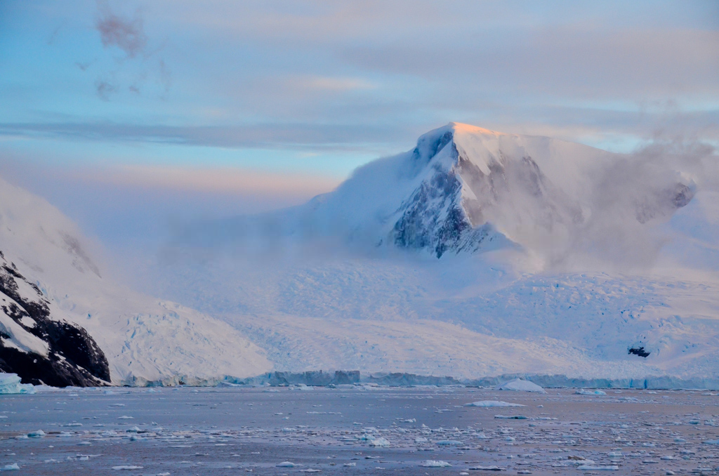
Mount Inverleith on:
[Wikipedia]
[Google]
[Amazon]

 Mount Inverleith () is a mountain, high, overlooking
Current weather conditions
Photograph
of northern slope facing Paradise Bay Mountains of Graham Land Danco Coast {{DancoCoast-geo-stub

 Mount Inverleith () is a mountain, high, overlooking
 Andvord Bay
Andvord Bay () is a bay-like fjord, long and wide, which lies between Beneden Head and Duthiers Point along the west coast of Graham Land.
It was discovered by the Belgian Antarctic Expedition, 1897–99, under Adrien de Gerlache, and named by ...
, located roughly five miles due south of the bay's southern shoreline ( Lester Cove). Mount Inverleith is flanked by Dallmeyer Peak to the north and by the Grubb Glacier and Bagshawe Glaciers to the west.
It is located roughly 9.5 miles southwest of Brown Station, on Danco Coast
The Danco Coast () is the portion of the west coast of the Antarctic Peninsula between Cape Sterneck and Cape Renard. This coast was explored in January and February 1898 by the Belgian Antarctic Expedition under Adrien de Gerlache, who named it f ...
in western Graham Land
Graham Land is the portion of the Antarctic Peninsula that lies north of a line joining Cape Jeremy and Cape Agassiz. This description of Graham Land is consistent with the 1964 agreement between the British Antarctic Place-names Committee and ...
, Antarctica
Antarctica () is Earth's southernmost and least-populated continent. Situated almost entirely south of the Antarctic Circle and surrounded by the Southern Ocean, it contains the geographic South Pole. Antarctica is the fifth-largest contine ...
.
The mountain was first charted and named "Iverleith Hill" by Scottish geologist David Ferguson in 1913–14.
References
External links
Current weather conditions
Photograph
of northern slope facing Paradise Bay Mountains of Graham Land Danco Coast {{DancoCoast-geo-stub