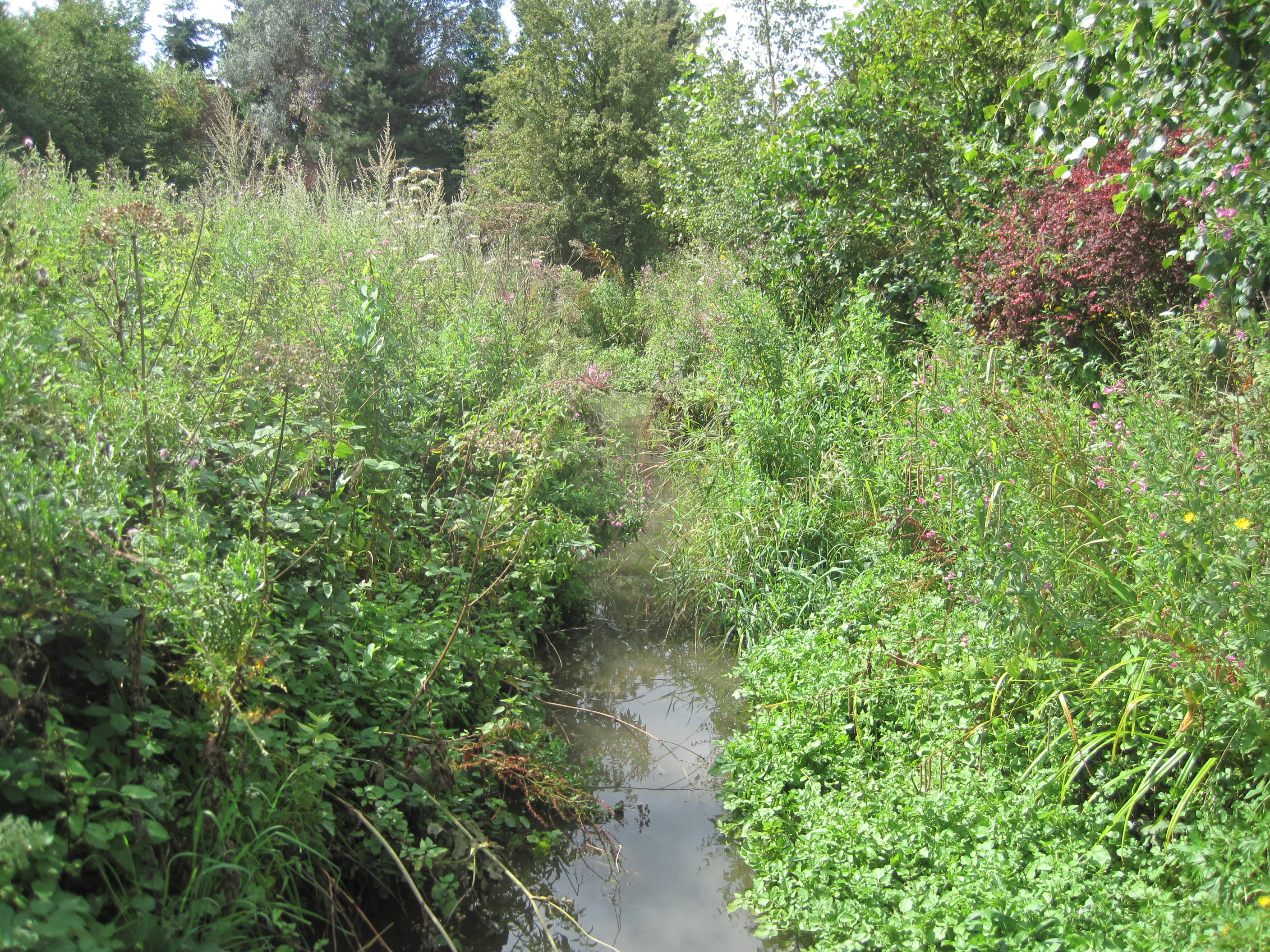
Mimmshall Brook on:
[Wikipedia]
[Google]
[Amazon]
 Mimmshall Brook is a long
stream
A stream is a continuous body of water, body of surface water Current (stream), flowing within the stream bed, bed and bank (geography), banks of a channel (geography), channel. Depending on its location or certain characteristics, a stream ...
(brook
A brook is a small river or natural stream of fresh water. It may also refer to:
Computing
*Brook, a programming language for GPU programming based on C
*Brook+, an explicit data-parallel C compiler
* BrookGPU, a framework for GPGPU programm ...
) in Greater London
Greater may refer to:
*Greatness, the state of being great
*Greater than, in inequality (mathematics), inequality
*Greater (film), ''Greater'' (film), a 2016 American film
*Greater (flamingo), the oldest flamingo on record
*Greater (song), "Greate ...
and Hertfordshire
Hertfordshire ( or ; often abbreviated Herts) is one of the home counties in southern England. It borders Bedfordshire and Cambridgeshire to the north, Essex to the east, Greater London to the south, and Buckinghamshire to the west. For govern ...
, England. Rising from two sources—one in Hertsmere, Hertfordshire, and the other in Arkley, London Borough of Barnet—the brook drains into a catchment area of 52 km² (20 sq mi) at Water End Swallow Holes
Water End Swallow Holes is a biological site of Special Scientific Interest in Hertfordshire, south-east England. Located in Welham Green and under the planning authority of Welwyn Hatfield District Council, it has an area of .
The site covers ...
, Welham Green, North Mymms. It is a tributary of the River Colne.
Course
The Mimmshall Brook rises from two sources— Saffron Green Meadows in the borough of Hertsmere, Hertfordshire, and nearArkley Lane and Pastures
Arkley Lane and Pastures is a Site of Borough Importance for Nature Conservation, Grade II, in Arkley in the London Borough of Barnet. Arkley Lane, off Barnet Road, is an old drovers' road. Located on the Barnet Plateau, it is now a quiet coun ...
in Arkley in the London Borough of Barnet. The Saffron stream flows east to meet the northbound Arkley stream at Saffron Green Meadows. From there, Mimmshall Brook flows a northeasterly course until Dyrham Park, when it turns north. It then flows into Dancers Hill
Dancers Hill is located in Hertfordshire, England, immediately south of the route of the M25 motorway. It was formerly in the historic county of Middlesex.
The disputed manor of Mandeville was said to lie on the hill and to be part of the manor ...
and under an unnamed grade II listed
In the United Kingdom, a listed building or listed structure is one that has been placed on one of the four statutory lists maintained by Historic England in England, Historic Environment Scotland in Scotland, in Wales, and the Northern Irel ...
bridge before flowing under the M25 motorway
The M25 or London Orbital Motorway is a major road encircling most of Greater London. The motorway is one of the most important roads in the UK and one of the busiest. Margaret Thatcher opened the final section in 1986, making the M25 the lon ...
(London Orbital Motorway) via a culvert
A culvert is a structure that channels water past an obstacle or to a subterranean waterway. Typically embedded so as to be surrounded by soil, a culvert may be made from a pipe, reinforced concrete or other material. In the United Kingdom ...
. From here, the Mimmshall Brook flows through Wash Lane Common
WASH (or Watsan, WaSH) is an acronym that stands for "water, sanitation and hygiene". It is used widely by non-governmental organizations and aid agencies in developing countries. The purposes of providing access to WASH services include achiev ...
in the civil parish of South Mimms. There, it receives the waters of Clarehall Brook and Bentleyheath Brook. It then receives the waters of Potters Bar Brook at Mymms Hall Livery Stables, before draining
Draining may refer to:
* Drainage, the natural or artificial process of water removal from land
* the urban exploration of sewers and storm drains
See also
* Drain (disambiguation)
{{Disambiguation ...
into a catchment area of 52 km² (20 sq mi) at Water End Swallow Holes
Water End Swallow Holes is a biological site of Special Scientific Interest in Hertfordshire, south-east England. Located in Welham Green and under the planning authority of Welwyn Hatfield District Council, it has an area of .
The site covers ...
, Welham Green, North Mymms. It is from these sinkholes that the River Colne rises.
References
External links
{{coord, 51.72371, -0.21844, format=dms, type:river_region:GB, display=title Rivers of London Rivers of Hertfordshire