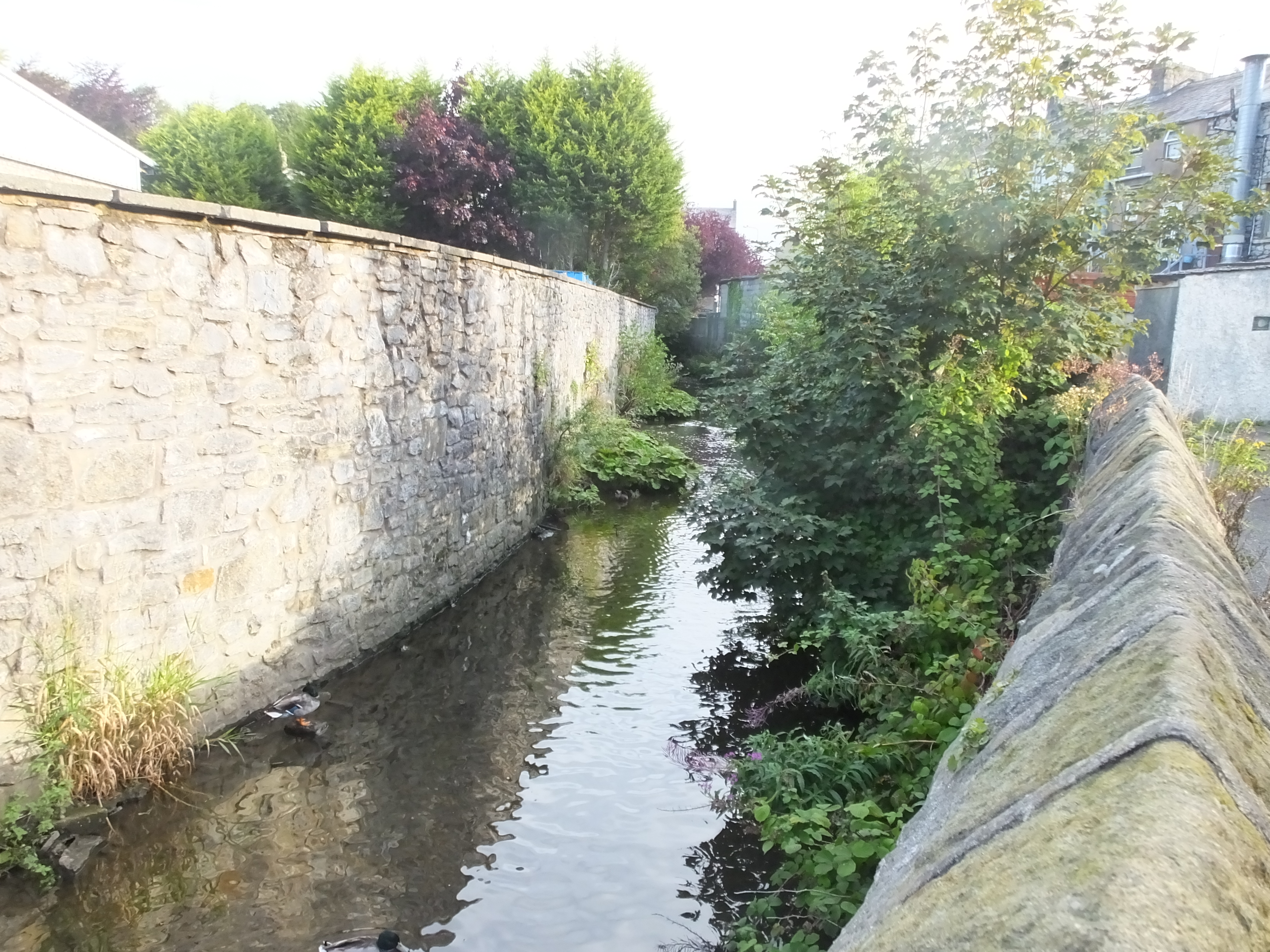
Mearley Brook on:
[Wikipedia]
[Google]
[Amazon]
 Mearley Brook is a minor
river
A river is a natural flowing watercourse, usually freshwater, flowing towards an ocean, sea, lake or another river. In some cases, a river flows into the ground and becomes dry at the end of its course without reaching another body of w ...
in Lancashire
Lancashire ( , ; abbreviated Lancs) is the name of a historic county, ceremonial county, and non-metropolitan county in North West England. The boundaries of these three areas differ significantly.
The non-metropolitan county of Lancash ...
, England
England is a country that is part of the United Kingdom. It shares land borders with Wales to its west and Scotland to its north. The Irish Sea lies northwest and the Celtic Sea to the southwest. It is separated from continental Europe b ...
. It is approximately long and has a catchment
A drainage basin is an area of land where all flowing surface water converges to a single point, such as a river mouth, or flows into another body of water, such as a lake or ocean. A basin is separated from adjacent basins by a perimeter, t ...
area of .
The stream rises on Pendle Hill
Pendle Hill is in the east of Lancashire, England, near the towns of Burnley, Nelson, Colne, Brierfield, Clitheroe and Padiham. Its summit is above mean sea level. It gives its name to the Borough of Pendle. It is an isolated hill in the P ...
and heads northwest, descending through Mearley Clough, passing Little Mearley Hall and crossing under the A59 Clitheroe Bypass. Close to Upbrooks Farm it is met by Worston Brook and turns to the southeast. Nearby it met by a small brook from Bracken Hey and the culvert of another at the Waterloo Bridge, as it enters the centre of Clitheroe
Clitheroe () is a town and civil parish in the Borough of Ribble Valley, Lancashire, England; it is located north-west of Manchester. It is near the Forest of Bowland and is often used as a base for tourists visiting the area. In 2018, the Cl ...
. At the Shaw Bridge it is joined by Shaw Brook and continues to the east of the hill topped by Clitheroe Castle
Clitheroe Castle is a ruined early medieval castle in Clitheroe in Lancashire, England. It was the ''caput'' of the Honour of Clitheroe, a vast estate stretching along the western side of the Pennines.
Its earliest history is debated but it is ...
. In the south of the town, the river flows into the mill lodge
A mill pond (or millpond) is a body of water used as a reservoir for a water-powered mill.
Description
Mill ponds were often created through the construction of a mill dam or weir (and mill stream) across a waterway.
In many places, the com ...
of the old Primrose Mill and then into Pendleton Brook
Pendleton Brook is a small river in Lancashire. The brook rises on Pendleton Moor and flows through the village of Pendleton, travelling north west to Higher Standen, then west past Standen Hall. From there, Pendleton Brook flows south of Cli ...
nearby at Lower Standen Hey, just before that river joins the River Ribble.
Mearley (also the name of the civil parish
In England, a civil parish is a type of administrative parish used for local government. It is a territorial designation which is the lowest tier of local government below districts and counties, or their combined form, the unitary authorit ...
where the river begins) is thought to be from the Old English
Old English (, ), or Anglo-Saxon, is the earliest recorded form of the English language, spoken in England and southern and eastern Scotland in the early Middle Ages. It was brought to Great Britain by Anglo-Saxon settlers in the mid-5th c ...
, meaning the meadow or clearing at the boundary. Brook (OE ) is a common name for a stream, most often found in southern and central England.Ekwall, p8.
References
Notes Citations Rivers of Ribble Valley 2Mearley {{England-river-stub