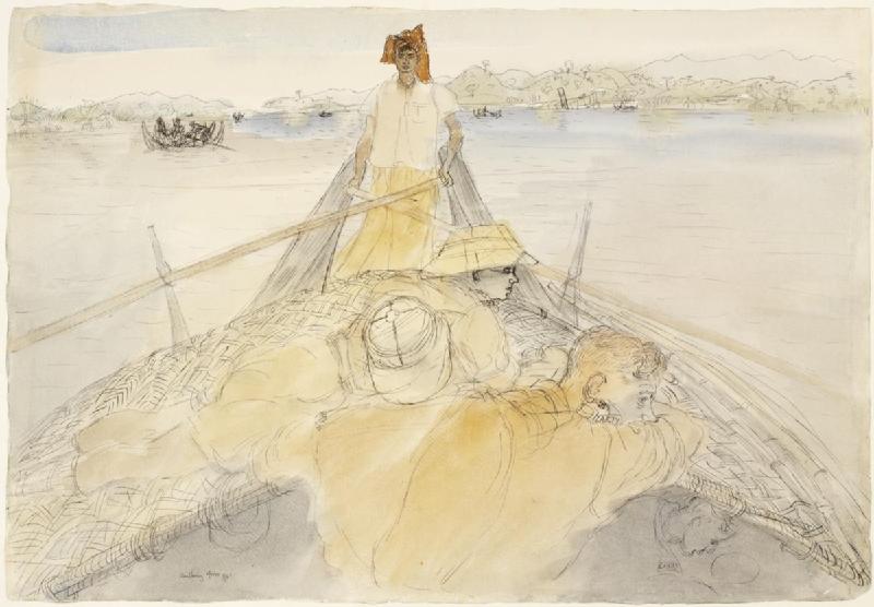
Mayu River on:
[Wikipedia]
[Google]
[Amazon]
 The Mayu is a river in
 The Mayu is a river in
 Rakhine State
Rakhine State (; , , ; formerly known as Arakan State) is a Administrative divisions of Myanmar, state in Myanmar (Burma). Situated on the western coast, it is bordered by Chin State to the north, Magway Region, Bago Region and Ayeyarwady R ...
, Myanmar
Myanmar, ; UK pronunciations: US pronunciations incl. . Note: Wikipedia's IPA conventions require indicating /r/ even in British English although only some British English speakers pronounce r at the end of syllables. As John C. Wells, Joh ...
(Burma). The river and its surrounding region, known as the ''Mayu region'' or ''Mayu peninsula'', is named after the nearby ''Mayu Mountain''. It was formerly known as the Manlayuwaddy River. It is the third most used river in Rakhine State, and is 96 miles (154 kilometers) long and drains into the Bay of Bengal
The Bay of Bengal is the northeastern part of the Indian Ocean, bounded on the west and northwest by India, on the north by Bangladesh, and on the east by Myanmar and the Andaman and Nicobar Islands of India. Its southern limit is a line between ...
, near Sittwe
Sittwe (; ; formerly Akyab) is the capital of Rakhine State, Myanmar (Burma). Sittwe, pronounced ''sait-tway'' in the Rakhine language, is located on an estuarial island created at the confluence of the Kaladan, Mayu, and Lay Mro rivers emptyi ...
. It passes through Buthidaung
Buthidaung (, ) is a town in Rakhine State, in the westernmost part of Myanmar (Burma). It is the administrative seat of the Buthidaung Township. Buthidaung lies on the west bank of the Mayu river, and experienced severe flooding in June 2010 and ...
, Rathedaung
Rathedaung ( my, ရသေ့တောင်မြို့) is the administrative town of Rathedaung Township in Rakhine State, Myanmar (Burma). It is situated beside the Mayu River and is located north of Sittwe. The town is split into four qu ...
and Sittwe Township.
References
Rivers of Myanmar Bay of Bengal Rakhine State Sittwe {{Myanmar-river-stub