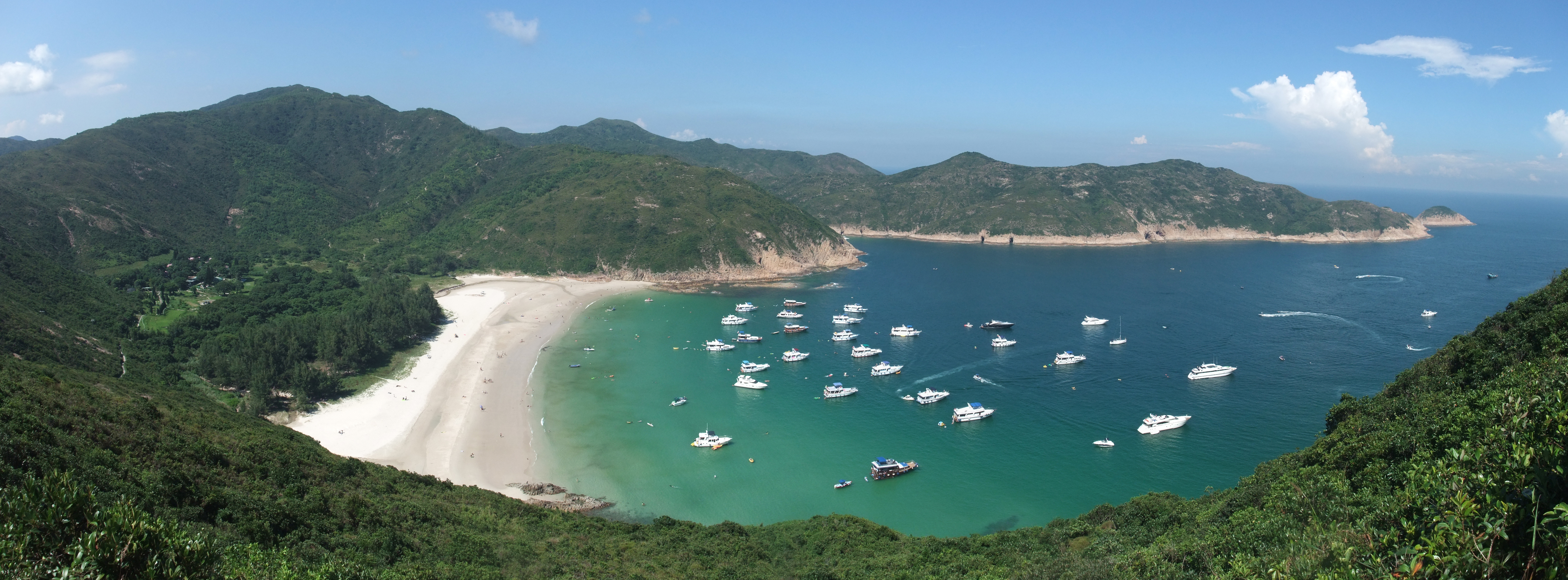
Long Ke on:
[Wikipedia]
[Google]
[Amazon]

 Long Ke Wan () is a bay in

 Long Ke Wan () is a bay in
 Sai Kung District
Sai Kung District is one of the 18 districts of Hong Kong, a special administrative region of China. The district comprises the southern half of the Sai Kung Peninsula, the Clear Water Bay Peninsula in the New Territories and a strip of lan ...
, Hong Kong
Hong Kong ( (US) or (UK); , ), officially the Hong Kong Special Administrative Region of the People's Republic of China ( abbr. Hong Kong SAR or HKSAR), is a city and special administrative region of China on the eastern Pearl River Delt ...
.
Geography
Long Ke Wan is located in the southeastern part of Sai Kung Peninsula, north of the East Dam of High Island Reservoir, and within the Sai Kung East Country Park.Village
Long Ke is a village located on the northwestern shore of the bay. It is a recognized village under theNew Territories
The New Territories is one of the three main regions of Hong Kong, alongside Hong Kong Island and the Kowloon Peninsula. It makes up 86.2% of Hong Kong's territory, and contains around half of the population of Hong Kong. Historically, it ...
Small House Policy.
Features
The Nativity of Our Lady Chapel (), one of the historic churches of Sai Kung Peninsula, is located in Long Ke. It was built in 1918.Access
Long Ke Wan is located at the end of stage 1 and the start of stage 2 of the MacLehose Trail.See also
* Beaches of Hong Kong *List of bays in Hong Kong
The following is a list of bays in Hong Kong:
Hong Kong Island
Clockwise order from northwest:
*Belcher Bay
*Wan Chai
*Causeway Bay
*Quarry Bay
*Aldrich Bay
*Shau Kei Wan
* Lyee Mun Bay
*Chai Wan
*Siu Sai Wan
* Ngan Wan
* Big Wave Bay
* Shek O ...
References
Bays of Hong Kong Beaches of Hong Kong Sai Kung Peninsula Sai Kung District {{HongKong-geo-stub