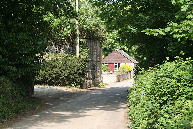
Lank, Cornwall on:
[Wikipedia]
[Google]
[Amazon]
 Lank (formerly also "Lanke") is a settlement in
 Lank (formerly also "Lanke") is a settlement in
 Cornwall
Cornwall (; kw, Kernow ) is a historic county and ceremonial county in South West England. It is recognised as one of the Celtic nations, and is the homeland of the Cornish people. Cornwall is bordered to the north and west by the Atlantic ...
, England, United Kingdom. It is situated approximately one mile (1.6 km) south of St Breward and six miles (10 km) east-northeast of Wadebridge
Wadebridge (; kw, Ponswad) is a town and civil parish in north Cornwall, England, United Kingdom. The town straddles the River Camel upstream from Padstow.Ordnance Survey: Landranger map sheet 200 ''Newquay & Bodmin'' The permanent popul ...
in St Breward civil parish
In England, a civil parish is a type of administrative parish used for local government. It is a territorial designation which is the lowest tier of local government below districts and counties, or their combined form, the unitary authorit ...
. It is in the civil parish
In England, a civil parish is a type of administrative parish used for local government. It is a territorial designation which is the lowest tier of local government below districts and counties, or their combined form, the unitary authorit ...
of Blisland
Blisland ( kw, Blyslann) is a village and civil parishes in England, civil parish in Cornwall, England, United Kingdom. It is approximately five miles northeast of Bodmin. According to the UK census 2001, 2001 census, the parish had a populatio ...
.
The settlement consists of two hamlets, Higher Lank (to the north) and Lower Lank (to the south), situated on high ground between the valleys of the River Camel
The River Camel ( kw, Dowr Kammel, meaning ''crooked river'') is a river in Cornwall, England. It rises on the edge of Bodmin Moor and with its tributaries its catchment area covers much of North Cornwall. The river flows into the eastern Ce ...
and De Lank River from which the settlements take their name.
The De Lank granite quarry is half-a-mile east of Lower Lank. The quarry is still operational and is currently owned by Ennstone plc, a multinational asphalt and aggregates business.
Wenfordbridge
Wenfordbridge, or Wenford Bridge, is a hamlet some north of Bodmin and on the western flank of Bodmin Moor, in Cornwall, England, UK. It takes its name from an old granite bridge over the River Camel, and lies on the border between the paris ...
is half-a-mile to the west and was the terminus of a branch of the Bodmin and Wadebridge railway
The Bodmin and Wadebridge Railway was a railway line opened in 1834 in Cornwall, England, United Kingdom. It linked the quays at Wadebridge with the town of Bodmin and also to quarries at Wenfordbridge.Sources use Wenfordbridge and Wenford Bridge ...
. A siding from Wenfordbridge ran between Higher Lank and Lower Lank and served the quarry via a rope-worked incline. The siding shut in 1940 but rail services to Wenfordbridge continued until 1985. The trackbed of the line south of Wenfordbridge is now part of the Camel Trail
The Camel Trail is a permissive cycleway in Cornwall, England, United Kingdom, that provides a recreational route for walkers, runners, cyclists and horse riders. The trail is flat (and suitable for disabled access); running from Padstow to W ...
long-distance path and cycleway.
The Rogers family of Lank bore the coat of arms Arg. a chevron between three bucks trippant Sa.Pascoe, W. H. (1979) ''A Cornish Armory''. Padstow: Lodenek Press; p. 92 Lieutenant John Rogers was a soldier who commemorated the jubilee of King George III on Jubilee Rock.
References
Villages in Cornwall {{Cornwall-geo-stub