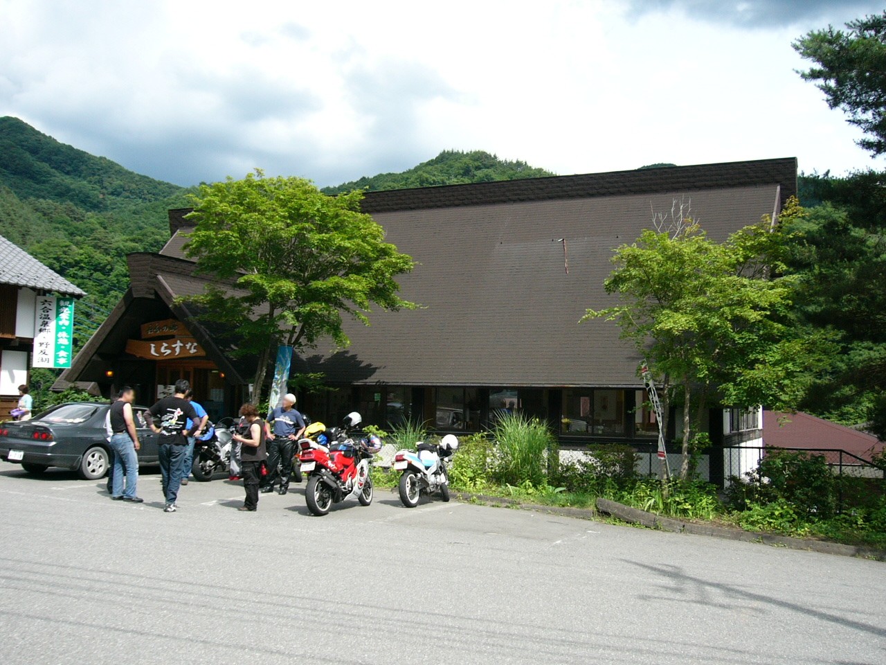
Kuni, Gunma on:
[Wikipedia]
[Google]
[Amazon]
 was a
was a
Nakanojō official website
{{Authority control Dissolved municipalities of Gunma Prefecture Nakanojō, Gunma
 was a
was a village
A village is a clustered human settlement or community, larger than a hamlet but smaller than a town (although the word is often used to describe both hamlets and smaller towns), with a population typically ranging from a few hundred to ...
located in Agatsuma District, Gunma Prefecture
is a prefecture of Japan located in the Kantō region of Honshu. Gunma Prefecture has a population of 1,937,626 (1 October 2019) and has a geographic area of 6,362 km2 (2,456 sq mi). Gunma Prefecture borders Niigata Prefecture and Fukushima ...
, Japan
Japan ( ja, 日本, or , and formally , ''Nihonkoku'') is an island country in East Asia. It is situated in the northwest Pacific Ocean, and is bordered on the west by the Sea of Japan, while extending from the Sea of Okhotsk in the north ...
.
As of September 1, 2007, the village had an estimated population
Population typically refers to the number of people in a single area, whether it be a city or town, region, country, continent, or the world. Governments typically quantify the size of the resident population within their jurisdiction using a ...
of 1,788 and a population density
Population density (in agriculture: standing stock or plant density) is a measurement of population per unit land area. It is mostly applied to humans, but sometimes to other living organisms too. It is a key geographical term.Matt RosenberPopul ...
of 9.41 persons per km². The total area was 202.81 km².
On March 28, 2010, Kuni was merged into the expanded town of Nakanojō.
Geography
Over half of the total area is covered byforests
A forest is an area of land dominated by trees. Hundreds of definitions of forest are used throughout the world, incorporating factors such as tree density, tree height, land use, legal standing, and ecological function. The United Nations' ...
. Located on the border of Gunma Prefecture
is a prefecture of Japan located in the Kantō region of Honshu. Gunma Prefecture has a population of 1,937,626 (1 October 2019) and has a geographic area of 6,362 km2 (2,456 sq mi). Gunma Prefecture borders Niigata Prefecture and Fukushima ...
and Nagano Prefecture
is a landlocked prefecture of Japan located in the Chūbu region of Honshū. Nagano Prefecture has a population of 2,052,493 () and has a geographic area of . Nagano Prefecture borders Niigata Prefecture to the north, Gunma Prefecture to the ...
is Lake Nozori
is a dam located in the town of Nakanojō, Agatsuma District, Gunma Prefecture, Japan. It is a hydroelectric dam operated by Tokyo Electric Power Company.The lake created by the dam is known as .
AccessRose Queen Kotsu**From Naganohara-Kusat ...
. There were two major hot springs
A hot spring, hydrothermal spring, or geothermal spring is a spring produced by the emergence of geothermally heated groundwater onto the surface of the Earth. The groundwater is heated either by shallow bodies of magma (molten rock) or by circ ...
in the village: the Shiriyaki and Hanashiki Hot Springs.
Surrounding municipalities
*Gunma Prefecture
is a prefecture of Japan located in the Kantō region of Honshu. Gunma Prefecture has a population of 1,937,626 (1 October 2019) and has a geographic area of 6,362 km2 (2,456 sq mi). Gunma Prefecture borders Niigata Prefecture and Fukushima ...
** Kusatsu
** Nakanojō
** Naganohara
** Higashiagatsuma
* Nagano Prefecture
is a landlocked prefecture of Japan located in the Chūbu region of Honshū. Nagano Prefecture has a population of 2,052,493 () and has a geographic area of . Nagano Prefecture borders Niigata Prefecture to the north, Gunma Prefecture to the ...
** Sakae
** Yamanouchi
** Takayama
* Niigata Prefecture
is a Prefectures of Japan, prefecture in the Chūbu region of Honshu of Japan. Niigata Prefecture has a population of 2,227,496 (1 July 2019) and is the List of Japanese prefectures by area, fifth-largest prefecture of Japan by geographic area ...
** Yuzawa
History
* 1889 - Kusatsu village is created in Agatsuma District. * 1900 - Kusatsu village is divided into Kusatsu town and Kuni village * March 28, 2010 - Kuni was merged into the expanded town of Nakanojō.Name origin
Before the creation of Kusatsu village in 1889, there were six villages, called Akaiwa, Kosame, Hikage, Ooshi, Iriyama, and Irusu. When thinking of a name in 1900, Kuni, meaning six put together (六合), was chosen since there were six villages. The pronunciation of the village's name came from the Nihon Shoki.External links
Nakanojō official website
{{Authority control Dissolved municipalities of Gunma Prefecture Nakanojō, Gunma