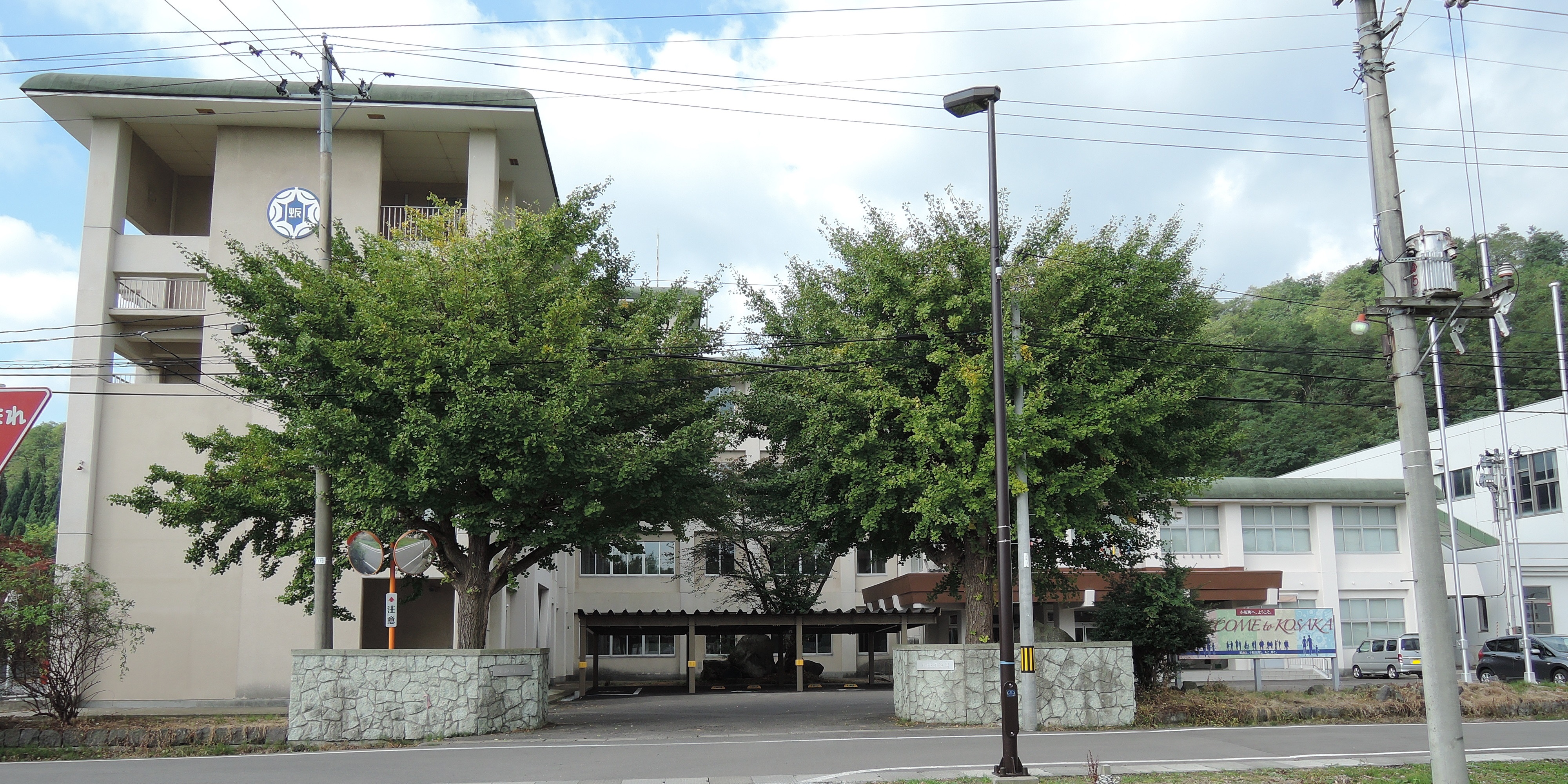
Kosaka, Akita on:
[Wikipedia]
[Google]
[Amazon]
 is a
is a
Kosaka population statistics
/ref> the population of Kosaka has declined by more than two-thirds since 1960.

 * Akita Inaka language school (since 2019)
*Koraku-kan - the oldest operating, traditional
Official Website
Akita Inaka Language School
town
A town is a type of a human settlement, generally larger than a village but smaller than a city.
The criteria for distinguishing a town vary globally, often depending on factors such as population size, economic character, administrative stat ...
located in Akita Prefecture, Japan
Japan is an island country in East Asia. Located in the Pacific Ocean off the northeast coast of the Asia, Asian mainland, it is bordered on the west by the Sea of Japan and extends from the Sea of Okhotsk in the north to the East China Sea ...
. , the town had an estimated population
Population is a set of humans or other organisms in a given region or area. Governments conduct a census to quantify the resident population size within a given jurisdiction. The term is also applied to non-human animals, microorganisms, and pl ...
of 4,670 in 2,284 households, and population density
Population density (in agriculture: Standing stock (disambiguation), standing stock or plant density) is a measurement of population per unit land area. It is mostly applied to humans, but sometimes to other living organisms too. It is a key geog ...
of 23 persons per km2. The total area of the town is . In 2016, Kosaka was selected as one of The Most Beautiful Villages in Japan.
Geography
Kosaka is located in the northern part of the Kazuno Basin in the Åu Mountains in far northeastern Akita Prefecture, withAomori Prefecture
is a Prefectures of Japan, prefecture of Japan in the TÅhoku region. The prefecture's capital, largest city, and namesake is the city of Aomori (city), Aomori. Aomori is the northernmost prefecture on Japan's main island, Honshu, and is border ...
on the north, and Lake Towada to the northeast. Much of the town is within the borders of the Towada-Hachimantai National Park. Much of the town area is covered in forest. Due to its inland location, the town is noted for its heavy snowfall in winter.
Neighboring municipalities
Akita Prefecture * Kazuno * Ådate Aomori Prefecture * Hirakawa * TowadaClimate
Kosaka has a cold Humid continental climate characterized by cool short summers and long cold winters with heavy snowfall and (Köppen climate classification
The Köppen climate classification divides Earth climates into five main climate groups, with each group being divided based on patterns of seasonal precipitation and temperature. The five main groups are ''A'' (tropical), ''B'' (arid), ''C'' (te ...
''Dfa''). The average annual temperature in Kosaka is 8.4 °C. The average annual rainfall is 1466 mm with September as the wettest month. The temperatures are highest on average in August, at around 22.2 °C, and lowest in January, at around -4.3 °C.
Demographics
Per Japanese census data,/ref> the population of Kosaka has declined by more than two-thirds since 1960.
History
The area of present-day Kosaka was part of ancient Mutsu Province and was ruled by the Nambu clan of Morioka Domain during theEdo period
The , also known as the , is the period between 1600 or 1603 and 1868 in the history of Japan, when the country was under the rule of the Tokugawa shogunate and some 300 regional ''daimyo'', or feudal lords. Emerging from the chaos of the Sengok ...
. The âKosaka-kaidoâ highway connecting Morioka Domain with Hirosaki Domain passed through Kosaka. Under the Nambu, major deposits of gold and silver were mined by the Fujita-gumi, the predecessor to modern Dowa Holdings for the Nambu clan at the Kosaka mine. After the start of the Meiji period, the area became briefly part of RikuchÅ« Province before being transferred to Akita Prefecture in 1871. It was organized as part of Kazuno District, Akita Prefecture in 1878. The village of Kosaka was created with the establishment of the modern municipalities system on April 1, 1889. It was raised to town status on May 12, 1914.
Economy
The town prospered greatly as a mining center for gold, silver, copper and zinc in the Meiji period, and many modern buildings were built, including the Kosaka mining office. After the Second World War, mining resources were depleted and the town declined. In recent years, there have been efforts to find ways to create a town that makes use of the modern architecture of the Meiji period and the tourism resources of Lake Towada. In addition to this, Dowa Holdings, the owner of the Kosaka Mine, is active in the metal recycling industry. In terms of light manufacturing, the Towada Audio Corporation, a manufacturer of shortwave radio sets, TV tuners and AC adapters in theSony
is a Japanese multinational conglomerate (company), conglomerate headquartered at Sony City in Minato, Tokyo, Japan. The Sony Group encompasses various businesses, including Sony Corporation (electronics), Sony Semiconductor Solutions (i ...
group, is based in Kosaka.
Education
Kosaka has one public elementary school and one public middle school operated by the town government and one public high school operated by the Akita Prefectural Board of Education.Transportation
Railway
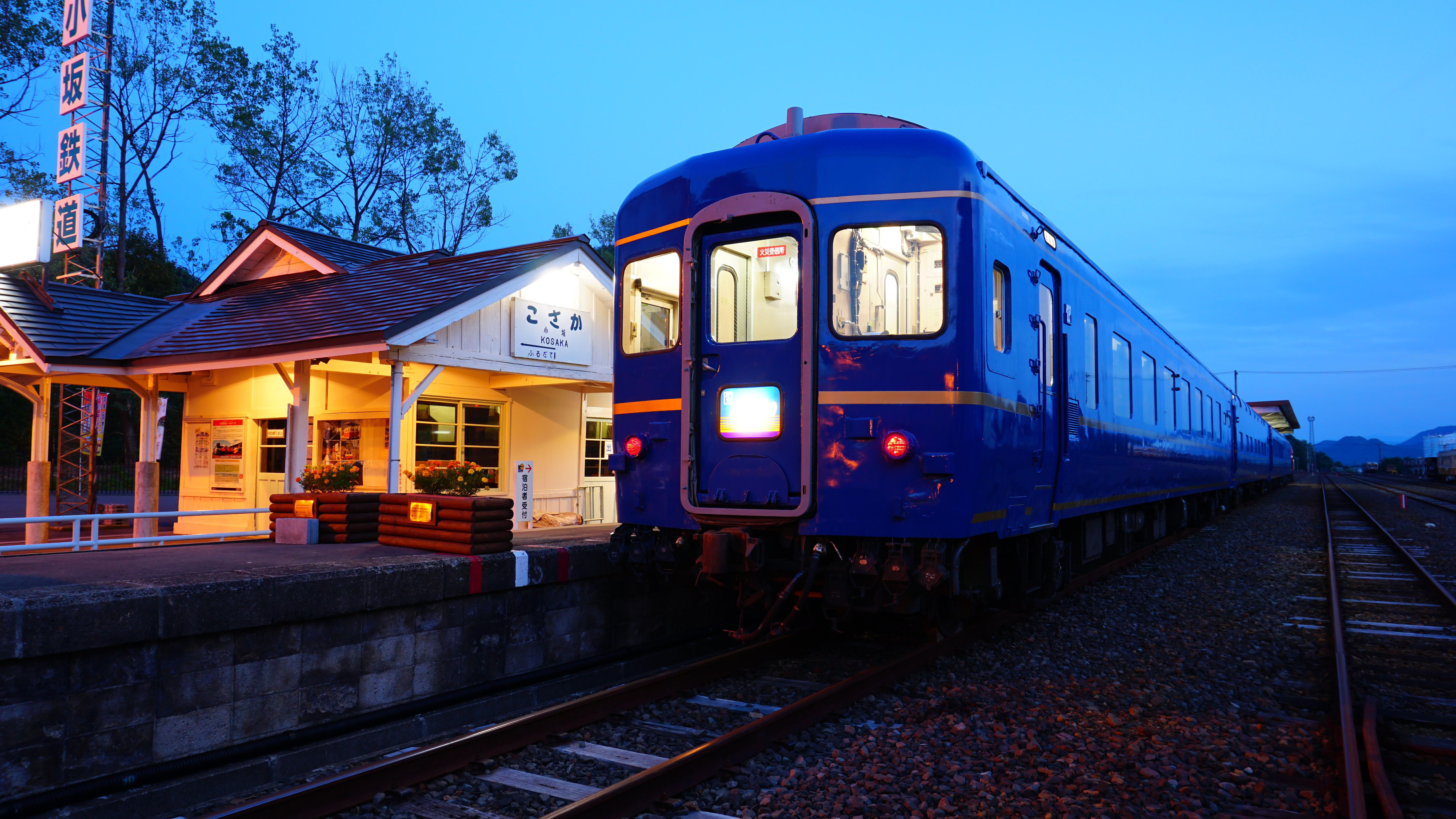
The Kosaka Smelting & Refining Kosaka Line provided passenger services until 1994. At present, the town is not served by any passenger railway line.Highway
* * * * *Local attractions

 * Akita Inaka language school (since 2019)
*Koraku-kan - the oldest operating, traditional
 Kabuki
is a classical form of Theatre of Japan, Japanese theatre, mixing dramatic performance with Japanese traditional dance, traditional dance. Kabuki theatre is known for its heavily stylised performances, its glamorous, highly decorated costumes ...
theatre in Japan. The Koraku-kan was made of all wood in 1910, and is stylistically a mix of western and traditional Japanese architecture. It was designated as an Important Cultural Property in 2002.
*Former head offices of Kosaka mine (National Important Cultural Property)
* Lake Towada
* Nanataki Falls â one of the Japan's Top 100 Waterfalls
External links
Official Website
Akita Inaka Language School
References
{{Authority control Towns in Akita Prefecture