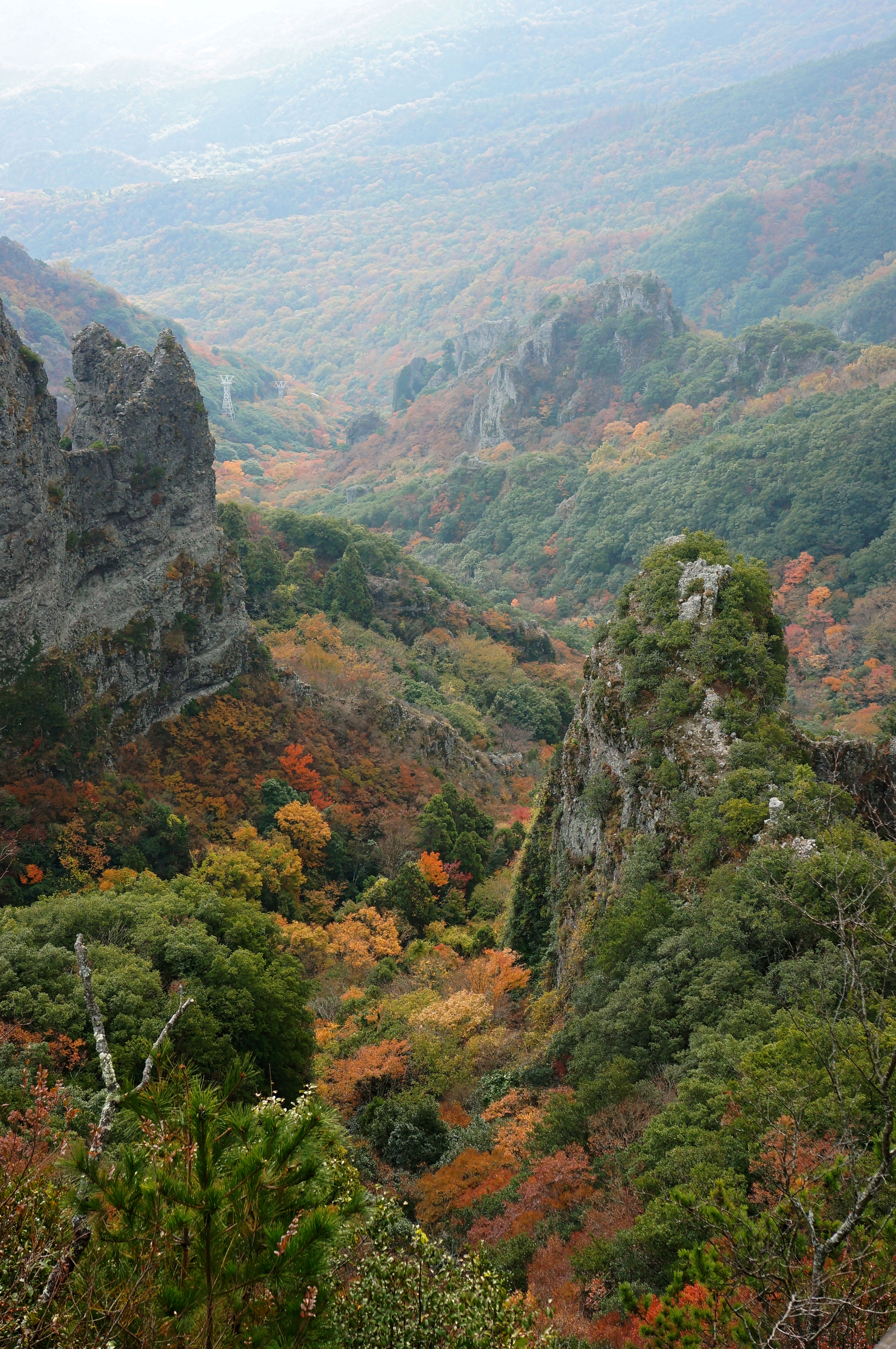
Kankakei on:
[Wikipedia]
[Google]
[Amazon]
 The
The
File:201211Kankakei Shodoshima Kagawa pref Japan01s3.jpg, 03. Kinbyobu
File:201211Kankakei Shodoshima Kagawa pref Japan02s3.jpg, 06. Gyokujunpo
File:201211Kankakei Shodoshima Kagawa pref Japan05n.jpg, 08. Soundan
File:201211Kankakei Shodoshima Kagawa pref Japan03s3.jpg, 10. Eboshiiwa
File:201211Kankakei Shodoshima Kagawa pref Japan21s3.jpg, 12. Shibocho
 The
The gorge
A canyon (from ; archaic British English spelling: ''cañon''), or gorge, is a deep cleft between escarpments or cliffs resulting from weathering and the erosion, erosive activity of a river over geologic time scales. Rivers have a natural tenden ...
of is a nationally designated Place of Scenic Beauty
is a collective term used by the Japanese government's Law for the Protection of Cultural Properties to denote Cultural Properties of JapanIn this article, capitals indicate an official designation as opposed to a simple definition, e.g "Cultural ...
on the island of Shōdo-shima, Kagawa Prefecture
is a prefecture of Japan located on the island of Shikoku. Kagawa Prefecture has a population of 949,358 (as of 2020) and is the smallest prefecture by geographic area at . Kagawa Prefecture borders Ehime Prefecture to the southwest and Tok ...
, Japan
Japan ( ja, 日本, or , and formally , ''Nihonkoku'') is an island country in East Asia. It is situated in the northwest Pacific Ocean, and is bordered on the west by the Sea of Japan, while extending from the Sea of Okhotsk in the north ...
. Part of the Setonaikai National Park
is a Japanese national park, comprising areas of Japan's Seto Inland Sea, and of ten bordering prefectures. Designated a national park in 1934, it has since been expanded several times. It contains about 3,000 islands, known as the Setouchi Isl ...
, the heights rise to 812 m. The area is celebrated for its Japanese maple trees. Volunteers formed a preservation society in 1898 and when, in 1912, expropriation of the area was attempted, a soy sauce
Soy sauce (also called simply soy in American English and soya sauce in British English) is a liquid condiment of Chinese origin, traditionally made from a fermented paste of soybeans, roasted grain, brine, and '' Aspergillus oryzae'' or ''Asp ...
magnate stepped in to ensure its preservation. In 1927 Kankakei was selected as one of the 100 Landscapes of Japan.
Landmarks
The Front Side 12
# Tsutenso # Kountei # Kinbyobu # Rosando # Senjogan # Gyokujunpo # Gachoseki # Soundan # Kayogaku # Eboshiiwa # Joraheki # ShibochoThe Back Side 8
# Shikaiwa # Matsutakeiwa # Taishido # Noboritake # Taikigan # Futamiiwa # Horagaiwa # SekimonSee also
*Kankakei Ropeway
The is a Japanese aerial lift line in Shōdoshima, Kagawa, Shōdoshima, Kagawa Prefecture, Kagawa. This is the only line operated by . The line opened in 1963. It runs through Kankakei, a Canyon, gorge on Shōdoshima Island. The gorge is known for ...
* Olive Jinja
is a Greek-style Shinto shrine on the island of Shōdoshima in the Inland Sea, Kagawa Prefecture, Japan. Constructed in 1973 and standing amidst a grove of olives - a thriving industry on the island - the shrine takes the form of a replica Greek ...
* Setonaikai National Park
is a Japanese national park, comprising areas of Japan's Seto Inland Sea, and of ten bordering prefectures. Designated a national park in 1934, it has since been expanded several times. It contains about 3,000 islands, known as the Setouchi Isl ...
References
{{coord, 34, 30, 56, N, 134, 18, 3, E, display=title, type:landmark_region:JP_scale:10000 Geography of Kagawa Prefecture Tourist attractions in Kagawa Prefecture Places of Scenic Beauty