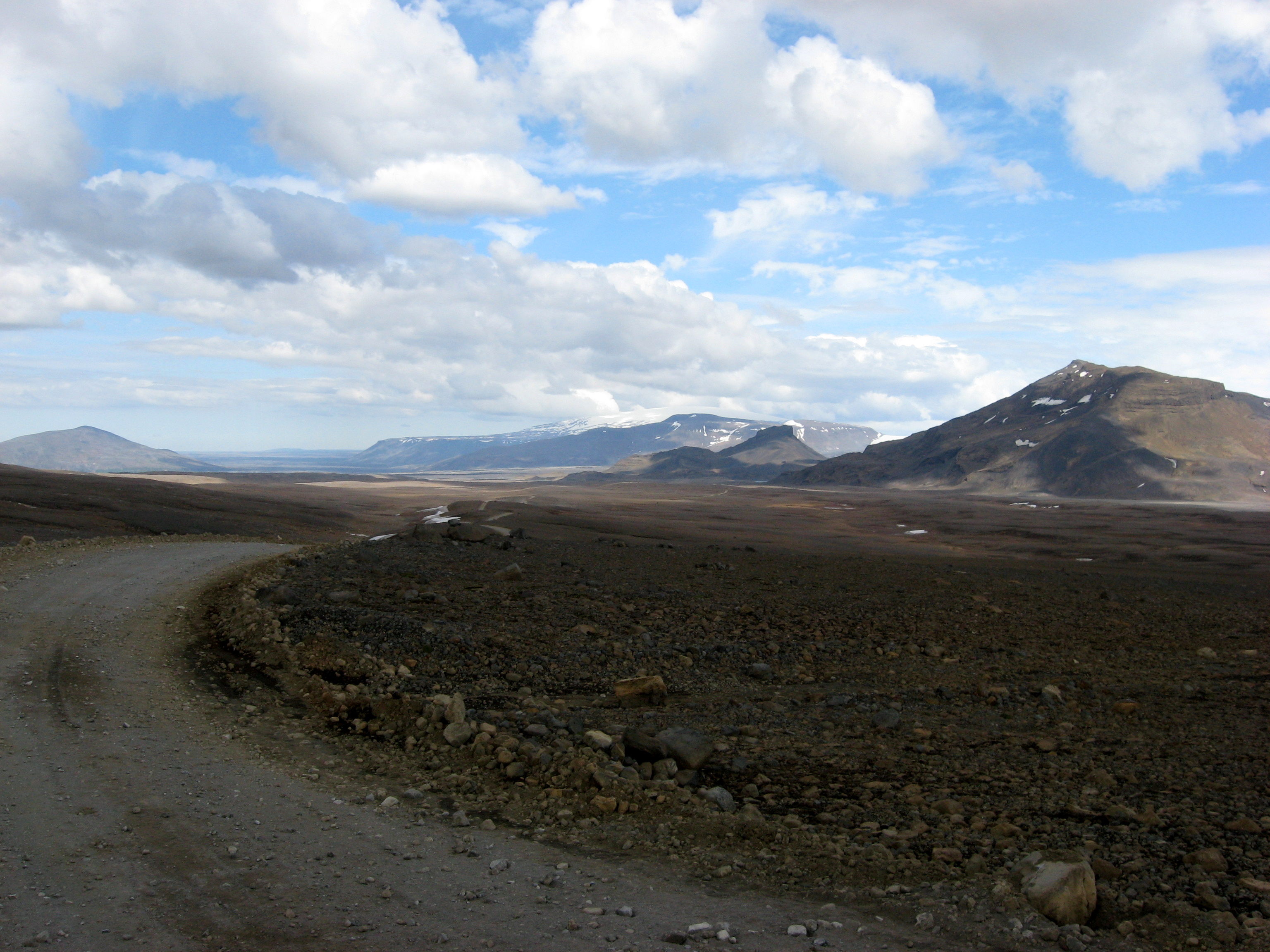
Kaldidalur on:
[Wikipedia]
[Google]
[Amazon]
 The Kaldadalsvegur () is the shortest of the highland tracks traversing the
Photos
{{Interior routes of Iceland Roads in Iceland Highlands of Iceland BorgarbyggĂ°
Highlands of Iceland
The Highlands of Iceland ( is, hálendið ) are a sparsely inhabited plateau that covers most of the interior of Iceland. They are situated above 400–500 metres (1300–1600 feet) and are mostly an uninhabitable volcanic desert, because the wa ...
, therefore the nickname "highlands for beginners" . Its name derives from the valley it crosses: ''Kaldidalur'' means "cold dale/valley". Sometimes the Kaldadalsvegur is referred to as simply "the Kaldidalur".
The route begins a bit to the north of Ăžingvellir
Ăžingvellir (, anglicised as ThingvellirThe spelling ''Pingvellir'' is sometimes seen, although the letter "p" is unrelated to the letter "Ăľ" (thorn), which is pronounced as "th".) was the site of the AlĂľing, the annual parliament of Iceland f ...
and to the west of the volcano
A volcano is a rupture in the crust of a planetary-mass object, such as Earth, that allows hot lava, volcanic ash, and gases to escape from a magma chamber below the surface.
On Earth, volcanoes are most often found where tectonic plates are ...
SkjaldbreiĂ°ur
SkjaldbreiĂ°ur (, "broad shield") is an Icelandic lava shield formed in one huge and protracted eruption roughly 9,500 years ago. The extensive lava fields which were produced by this eruption, flowed southwards, and formed the basin of Ăži ...
, which really comes up to its name (meaning ''broad shield''). The track continues between the glaciers Þórisjökull and Ok and leads up to the north. To the east of Reykholt it comes near the ''Reykholtsdalur'' to Húsafell
Húsafell () is a sprawling farm and church estate and the former site of a rectory. It is the innermost farm in Borgarfjörður in the west county of Iceland, not far from Reykholt and Reykholtsdalur. Húsafell farm now serves as a hub of ser ...
. Then it continues up to ''Hvammstangi
Hvammstangi () is an Icelandic village in the north-west part of the country, on Vatnsnes peninsula, situated on the Miðfjörður
Miðfjörður () is a small fjord as well as a conjoined valley in the northwest of Iceland.Íslandshandbókin. Nà ...
'' at the ''Miðfjörður
MiĂ°fjörĂ°ur () is a small fjord as well as a conjoined valley in the northwest of Iceland.ĂŤslandshandbĂłkin. NáttĂşra, saga of sĂ©rkenni. ReykjavĂk 1989, pp.329-330
The fjord has a length of 14 km and a width of up to 3,5 km. The v ...
''.
Signed as route 550 (formerly F550), the track is 40 kilometers long, and has no unbridged river crossings. (The Kaldadalsvegur is ''not'' an F road, and a four-wheel-drive vehicle is ''not'' legally required to traverse it, however many car rental companies forbid the use of their two-wheel-drive vehicles on this interior route.)
The other well known highland routes are Kjölur
Kjölur () is a plateau in the highlands of Iceland, roughly defined as the area between the Langjökull and Hofsjökull glaciers. It lies at an elevation of about 600–700 metres.
Geography
At the northern end of the Kjölur road, near the h ...
and Sprengisandur
Sprengisandur () is a highland plateau in Iceland, defined roughly as the area between the Hofsjökull and Vatnajökull glaciers.
History and etymology
Like Kjölur and Kaldidalur, Sprengisandur is an ancient pass - during the time of the Ic ...
.
External links
Photos
{{Interior routes of Iceland Roads in Iceland Highlands of Iceland BorgarbyggĂ°