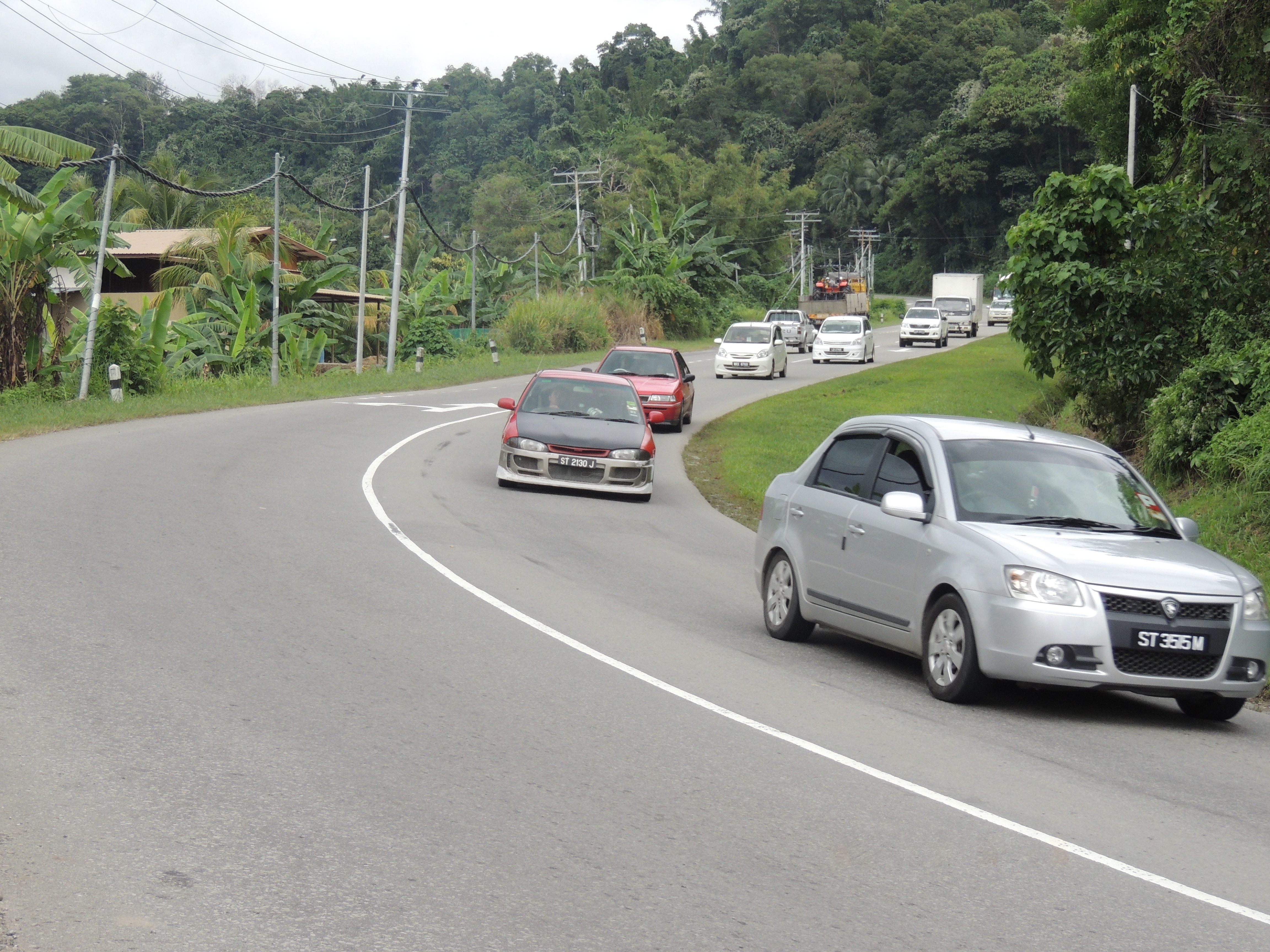
Jalan Kamunting on:
[Wikipedia]
[Google]
[Amazon]
 Federal Route 22, Asian Highway Route AH150 (formerly Federal Route A4), is a federal highway in
. Accessed on 13 March 2013. Meanwhile, the final section of the FT22 highway from Ranau to Tamparuli was constructed right after the Sandakan-Ranau section was opened to motorists. The Tamparuli-Ranau section was completed in 1982. The highway was coded as A4 according to the old numbering scheme, but was later changed to FT22 in 1996 to standardise the route numbering system with
- Malaysian Public Works Department. Accessed 13 March 2013.


 Federal Route 22, Asian Highway Route AH150 (formerly Federal Route A4), is a federal highway in
 Sabah
Sabah () is a States and federal territories of Malaysia, state of Malaysia located in northern Borneo, in the region of East Malaysia. Sabah borders the Malaysian state of Sarawak to the southwest and the North Kalimantan province of Indone ...
, Malaysia
Malaysia ( ; ) is a country in Southeast Asia. The federation, federal constitutional monarchy consists of States and federal territories of Malaysia, thirteen states and three federal territories, separated by the South China Sea into two r ...
, which is also a component of the larger Pan Borneo Highway network. It starts from Tamparuli and ends at Sandakan
Sandakan (, Jawi: , ) formerly known at various times as Elopura, is the capital of the Sandakan District in Sabah, Malaysia. It is the second largest city in Sabah after Kota Kinabalu. It is located on the Sandakan Peninsula and east coast of ...
. The section running from Tamparuli to Ranau, which is known as Tamparuli-Ranau Highway, crosses the Crocker Range
Crocker Range ( ms, Banjaran Crocker) is a mountain range in West Coast Division of Sabah, Malaysia that separates the west and east coast of Sabah. At an average height of , it is the highest mountain range in the state with the range is named ...
just to the south of Mount Kinabalu
Mount Kinabalu ( ms, Gunung Kinabalu, Dusun language, Dusun: ''Gayo Ngaran or Nulu Nabalu'') is the highest mountain in Borneo and Malaysia. With an elevation of , it is List of islands by highest point, third-highest peak of an island on Eart ...
.
History
The construction of the Federal Route 22 began in 1968 as a joint project between the Malaysian federal government with the government ofAustralia
Australia, officially the Commonwealth of Australia, is a Sovereign state, sovereign country comprising the mainland of the Australia (continent), Australian continent, the island of Tasmania, and numerous List of islands of Australia, sma ...
, known as the "Malaysian-Australian Road Project" (MARP). It was one of the two projects being jointly carried out with the Australian government, together with the Pergau Dam Pergau station or formally known as Stesen Janaelektrik Sultan Ismail Petra is a hydroelectric power station in Kuala Yong, Kelantan, Malaysia.
It is located about 100 km west of Kota Bharu.
Power station
The power station is an underground hydr ...
project in Kelantan, with the total cost of RM25 million for both projects. The construction was done in two phases - the construction of the first phase from Sandakan to Telupid began in 1968 and completed in 1971, while the second phase from Telupid to Ranau was constructed in 1971 and completed in 1972. Both sections were paved in 1973 and were completed in 1978.Profil Jabatan Kerja Raya Telupid. Accessed on 13 March 2013. Meanwhile, the final section of the FT22 highway from Ranau to Tamparuli was constructed right after the Sandakan-Ranau section was opened to motorists. The Tamparuli-Ranau section was completed in 1982. The highway was coded as A4 according to the old numbering scheme, but was later changed to FT22 in 1996 to standardise the route numbering system with
Peninsular Malaysia
Peninsular Malaysia ( ms, Semenanjung Malaysia; Jawi: سمننجڠ مليسيا), or the States of Malaya ( ms, Negeri-negeri Tanah Melayu; Jawi: نڬري-نڬري تانه ملايو), also known as West Malaysia or the Malaysian Peninsula, ...
.Senarai Jalan Persekutuan Utama Malaysia- Malaysian Public Works Department. Accessed 13 March 2013.
List of interchanges

References
External links
* {{Malaysian Federal Roads Highways in Malaysia Roads in Sabah