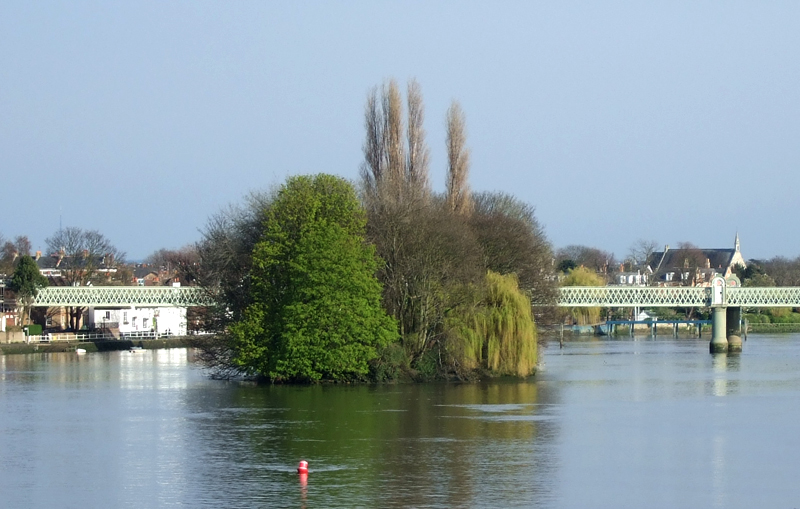
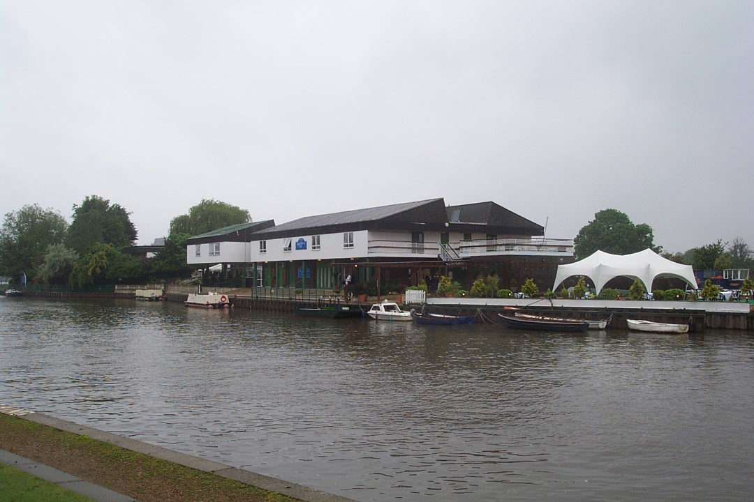
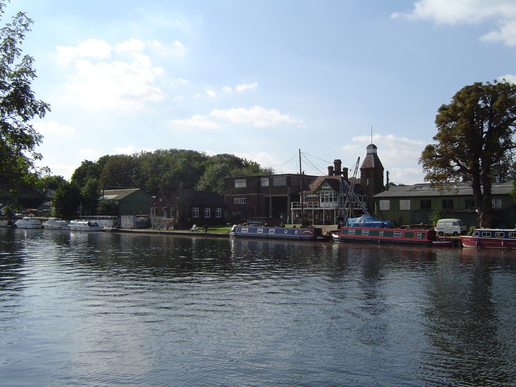
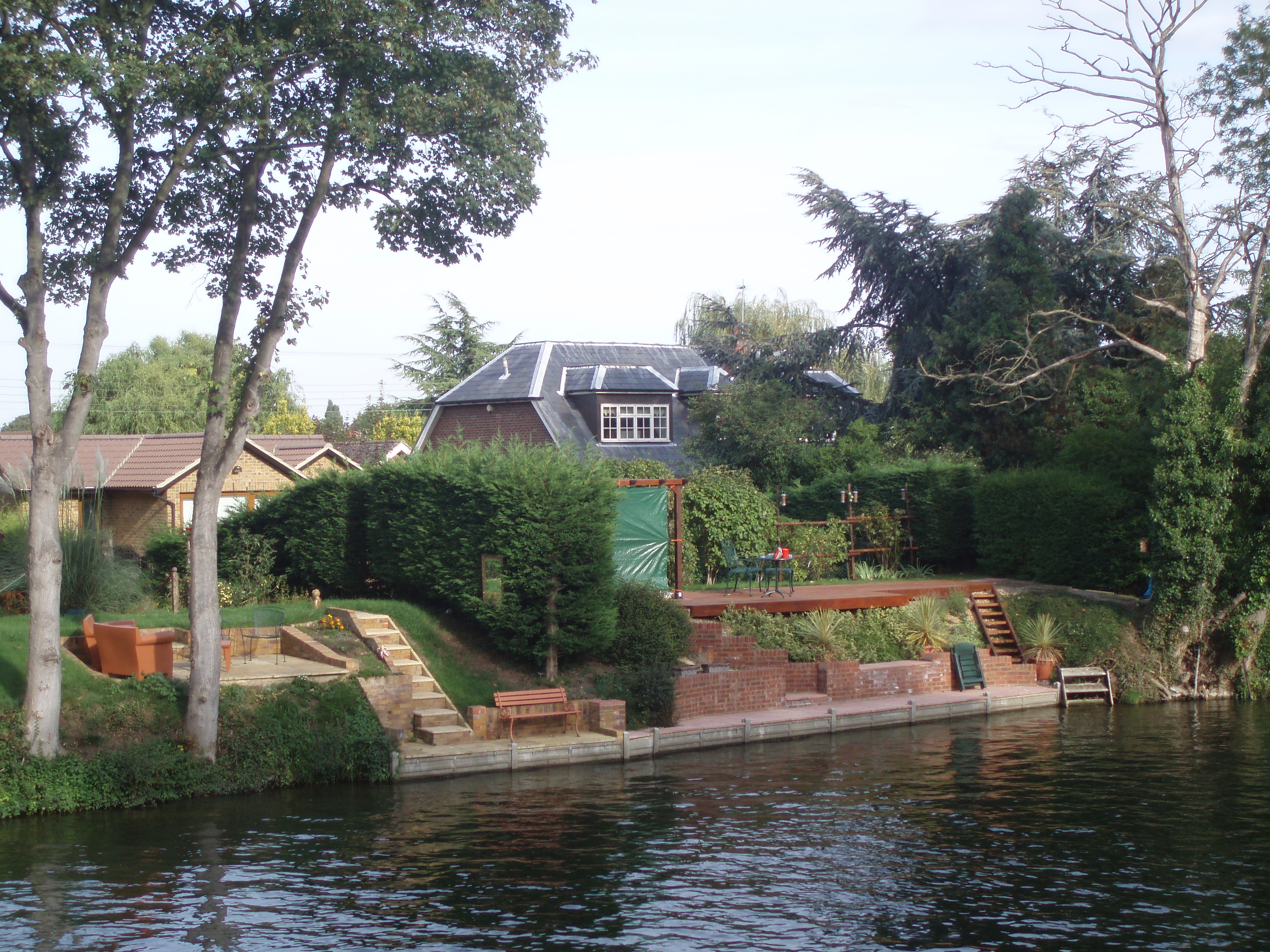
Islands in the River Thames on:
[Wikipedia]
[Google]
[Amazon]
This article lists the islands in the


 The islands are listed in order upstream from the sea.
River Thames
The River Thames ( ), known alternatively in parts as the River Isis, is a river that flows through southern England including London. At , it is the longest river entirely in England and the second-longest in the United Kingdom, after the R ...
, or at the mouth of a tributary (marked †), in England. It excludes human-made islands built as part of the building of forty-five two-gate locks which each accompany a weir
A weir or low head dam is a barrier across the width of a river that alters the flow characteristics of water and usually results in a change in the height of the river level. Weirs are also used to control the flow of water for outlets of l ...
, and islet
An islet is a very small, often unnamed island. Most definitions are not precise, but some suggest that an islet has little or no vegetation and cannot support human habitation. It may be made of rock, sand and/or hard coral; may be permanen ...
s subordinate to and forming part of the overall shape of another. The suffix ''-ey'' (pronounced today ) is common across England and Scotland and cognate with ait
An ait (, like ''eight'') or eyot () is a small island. It is especially used to refer to river islands found on the River Thames and its tributaries in England.
Aits are typically formed by the deposit of sediment in the water, which accumu ...
and meaning island, a term – as ait or eyot – unusually well-preserved on the Thames. A small minority of list entries are referred to as Island, Ait or Eyot and are vestiges, separated by a depression in the land or high-water-level gully.
Most are natural; others were created by excavation of an additional or replacement navigation channel, such as to provide a shorter route, a cut
Cut may refer to:
Common uses
* The act of cutting, the separation of an object into two through acutely-directed force
** A type of wound
** Cut (archaeology), a hole dug in the past
** Cut (clothing), the style or shape of a garment
** Cut (ea ...
. Many result from accumulation of gravel, silt, wildfowl dung and plant decay and root strengthening, particularly from willow
Willows, also called sallows and osiers, from the genus ''Salix'', comprise around 400 speciesMabberley, D.J. 1997. The Plant Book, Cambridge University Press #2: Cambridge. of typically deciduous trees and shrubs, found primarily on moist so ...
s and other large trees. Unlike other large rivers, all today are considered fixed. All in the reaches below Lechlade
Lechlade () is a town at the southern edge of the Cotswolds in Gloucestershire, England, south of Birmingham and west of London. It is the highest point at which the River Thames is navigable, although there is a right of navigation that contin ...
have been protected against erosion by various combinations of canalisation of the river, building up with dredged material
Dredging is the excavation of material from a water environment. Possible reasons for dredging include improving existing water features; reshaping land and water features to alter drainage, navigability, and commercial use; constructing da ...
from the river bed, water reeds, concrete, cement, wood or sheet piling.
List of former islands
* Frog Island†, Rainham *Isle of Dogs
The Isle of Dogs is a large peninsula bounded on three sides by a large meander in the River Thames in East London, England, which includes the Cubitt Town, Millwall and Canary Wharf districts. The area was historically part of the Manor, Ha ...
, Poplar, London
* Isle of Grain
Isle of Grain (Old English ''Greon'', meaning gravel) is a village and the easternmost point of the Hoo Peninsula within the district of Medway in Kent, south-east England. No longer an island and now forming part of the peninsula, the area i ...
, Kent
* Thorney (or Thorney Island)† covered a broad area surrounding Westminster Abbey
Westminster Abbey, formally titled the Collegiate Church of Saint Peter at Westminster, is an historic, mainly Gothic church in the City of Westminster, London, England, just to the west of the Palace of Westminster. It is one of the Unite ...
* Bermondsey
Bermondsey () is a district in southeast London, part of the London Borough of Southwark, England, southeast of Charing Cross. To the west of Bermondsey lies Southwark, to the east Rotherhithe and Deptford, to the south Walworth and Peckham ...
†, land and grounds of Bermondsey Abbey, formed by an anabranch (corollary channel) naturally dredged by the mouth of the Neckinger; a vestige of the channel is St Saviour's Dock
St Saviour's Dock is an inlet-style dock in London, England, on the south bank of the River Thames, 420 metres east of Tower Bridge. It forms the eastern end of the Shad Thames embankment that starts at Tower Bridge. The east side of the Dock ...
.
* Battersea Formerly bounded by the Heath Brook,Falcon Brook and Thames.
;Beyond the alluvium/silts of the estuary, by the English Channel
The English Channel, "The Sleeve"; nrf, la Maunche, "The Sleeve" (Cotentinais) or ( Jèrriais), (Guernésiais), "The Channel"; br, Mor Breizh, "Sea of Brittany"; cy, Môr Udd, "Lord's Sea"; kw, Mor Bretannek, "British Sea"; nl, Het Kana ...
and North Sea
The North Sea lies between Great Britain, Norway, Denmark, Germany, the Netherlands and Belgium. An epeiric sea, epeiric sea on the European continental shelf, it connects to the Atlantic Ocean through the English Channel in the south and the ...
*Isle of Thanet
The Isle of Thanet () is a peninsula forming the easternmost part of Kent, England. While in the past it was separated from the mainland by the Wantsum Channel, it is no longer an island.
Archaeological remains testify to its settlement in an ...
†, Kent
List of islands


 The islands are listed in order upstream from the sea.
Oxford floodplain
In theOxford
Oxford () is a city in England. It is the county town and only city of Oxfordshire. In 2020, its population was estimated at 151,584. It is north-west of London, south-east of Birmingham and north-east of Bristol. The city is home to the ...
area the river splits into several streams across the floodplain
A floodplain or flood plain or bottomlands is an area of land adjacent to a river which stretches from the banks of its channel to the base of the enclosing valley walls, and which experiences flooding during periods of high discharge.Goudi ...
, which create numerous islands. On the right bank a large island is created by Seacourt Stream
Hinksey Stream is a branch of the River Thames to the west of the city of Oxford, England. It starts as Seacourt Stream (also known as Wytham Stream), which leaves the Thames at a bifurcation north of the village of Wytham, and rejoins the riv ...
, Botley Stream and Bulstake Stream
Bulstake Stream, also spelt Bullstake Stream, is a backwater of the River Thames at Oxford, England.
The stream leaves the main stream of the Thames at a river junction known as Four Rivers, at the south west corner of Fiddler's Island oppos ...
, and there are smaller islands, including the large mainly built-up island now known as Osney, created by streams between Bulstake Stream and the Thames, including Osney Ditch. The Oxford suburbs of Grandpont
Grandpont is a mainly residential area in south Oxford. It is west of Abingdon Road, and consists mainly of narrow streets that run at right angles to the main road, with terraced late- Victorian and Edwardian houses.
It also contains the Grandp ...
and New Hinksey
New Hinksey is a suburb in the south of the city of Oxford.
Geography
The suburb is west of the Abingdon Road ( A4144). To the north is Grandpont and to the east, over Donnington Bridge, which crosses the River Thames, is Cowley. To the west i ...
are on an island created by Bulstake Stream, Hinksey Stream and Weirs Mill Stream. Iffley Meadows is an island west of Iffley Lock, between Weirs Mill Stream, Hinksey Stream and the Thames.
On the left bank Fiddler's Island
Fiddler's Island is an island in the River Thames at Oxford in England. It is situated south of Port Meadow on the reach above Osney Lock.
The north part of the island sits between the River Thames and the top end of Castle Mill Stream, a Thame ...
followed downstream by the built-up island historically known as Osney lie between Castle Mill Stream
Castle Mill Stream is a backwater of the River Thames in the west of Oxford, England. It is 5.5 km long.
Course
The stream leaves the main course of the River Thames at the south end of Port Meadow, immediately upstream of Medley Foo ...
and the Thames. Cripley Meadow is also on an island formed by Fiddler's Island Stream, Castle Mill Stream and Sheepwash Channel
Sheepwash Channel connects the River Thames to the west and the Castle Mill Stream next to the Oxford Canal to the east (linked through Isis Lock), in west Oxford, England. To the north are Cripley Meadow (largely allotments) and Fiddler's Is ...
.
Eton and Dorney
The status ofEton, Berkshire
Eton ( ) is a town in Berkshire, England, on the opposite bank of the River Thames to Windsor, connected to it by Windsor Bridge. The civil parish, which also includes the village of Eton Wick two miles west of the town, had a population of 4 ...
combined with Dorney
Dorney is a village and civil parish in the Unitary Authority of Buckinghamshire, England, bordering on the River Thames to the west and south, and bisected by the Jubilee River. In 2011 it had a population of 752. It is west of neighbouring ...
is controversial. These are two mainly pre-1900-built small villages and their outlying localities: Eton Wick, Boveney and Dorney Reach. Much of these areas of land in the 19th century was marked by the Ordnance Survey
Ordnance Survey (OS) is the national mapping agency for Great Britain. The agency's name indicates its original military purpose (see ordnance and surveying), which was to map Scotland in the wake of the Jacobite rising of 1745. There was a ...
"liable to floods" which led to pressure on authorities for flood protection, along with the more densely populated right bank
In geography, a bank is the land alongside a body of water. Different structures are referred to as ''banks'' in different fields of geography, as follows.
In limnology (the study of inland waters), a stream bank or river bank is the terrai ...
.
They have been, since 2002, on a more protected man-made island formed by the Jubilee River
The Jubilee River is a hydraulic channel in southern England. It is long and is on average wide. It was constructed in the late 1990s and early 2000s to take overflow from the River Thames and so alleviate flooding to areas in and around the ...
, which is sometimes seen as an advanced flood relief channel rather than a channel of the Thames. As the Jubilee River is maintained with flow at all times, they may be coming to be accepted by publications as on an island of the Thames, reflecting their objective strict geographical status.
Lock islands
The construction of almost alllocks
Lock(s) may refer to:
Common meanings
*Lock and key, a mechanical device used to secure items of importance
*Lock (water navigation), a device for boats to transit between different levels of water, as in a canal
Arts and entertainment
* ''Lock ...
on the Thames involved one or more artificial lock islands separating the lock from the weir
A weir or low head dam is a barrier across the width of a river that alters the flow characteristics of water and usually results in a change in the height of the river level. Weirs are also used to control the flow of water for outlets of l ...
s. These may have been created by building an artificial island in the river or by digging an artificial canal to contain the lock and turning the land between that and the river into an island. In many cases the lock island contains the lock keeper's house and can be accessed across the lock gates. Such lock islands are only listed above if they have a specific name of their own: all Thames locks are listed in Locks on the River Thames
The English River Thames is navigable from Cricklade (for very small, shallow boats) or Lechlade (for larger boats) to the sea, and this part of the river falls 71 meters (234 feet). There are 45 locks on the river, each with one or more a ...
.
See also
*Crossings of the River Thames
The River Thames is the second-longest river in the United Kingdom, passes through the capital city, and has many crossings.
Counting every channel – such as by its islands linked to only one bank – it is crossed by over 300 brid ...
*Tributaries of the River Thames
This article lists the tributaries of the River Thames from the sea to the source, in England. There are also secondary lists of backwaters of the river itself and the waterways branching off.
Note: the River Medway shares the saline lower T ...
*''Eyots and Aits'', Miranda Vickers, The History Press, pp 144, 2012.
Notes
{{commons category, Islands in the River Thames River Thames *Thames
The River Thames ( ), known alternatively in parts as the River Isis, is a river that flows through southern England including London. At , it is the longest river entirely in England and the second-longest in the United Kingdom, after the R ...
Lists of places in England