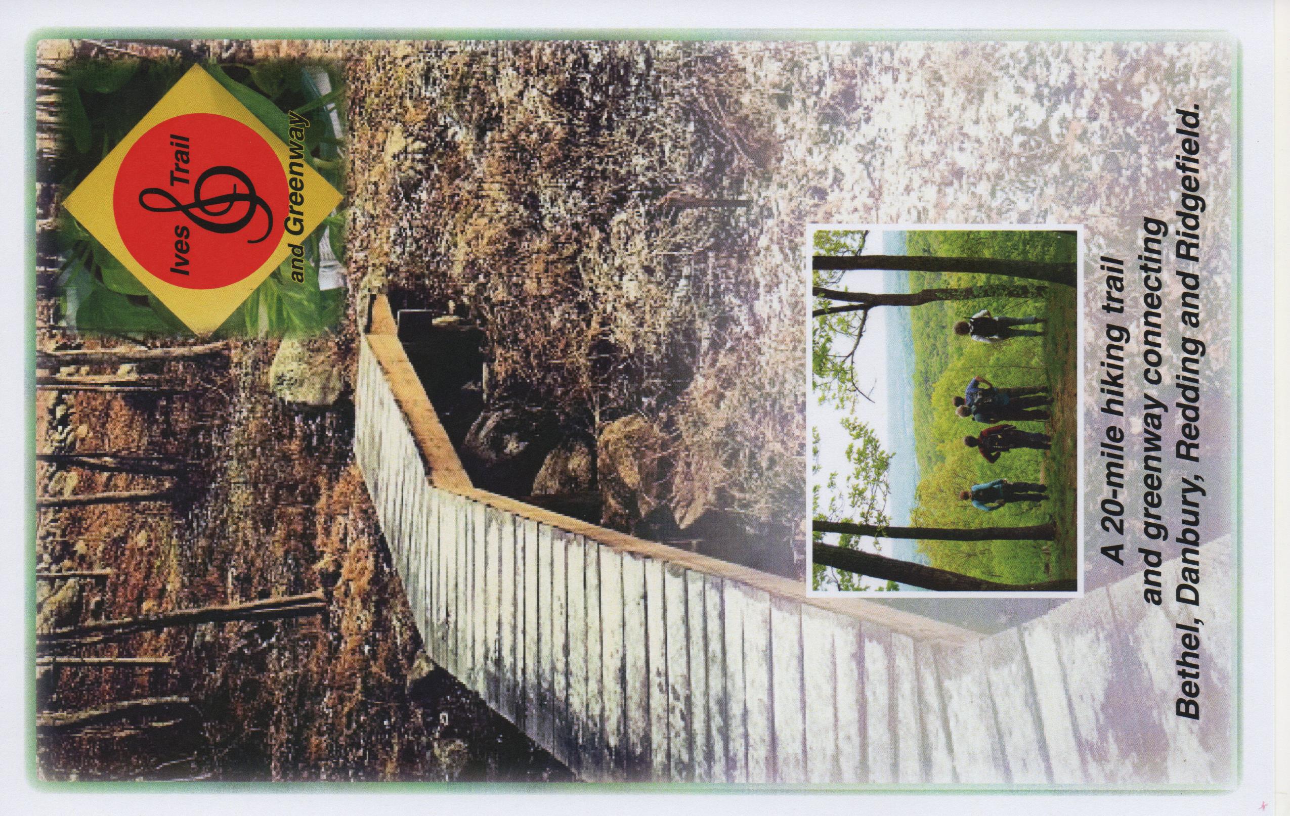
Ives Trail on:
[Wikipedia]
[Google]
[Amazon]
The Ives Trail and Greenway is a  There is a guidebook, which is available at the Tarrywile Mansion.


Ives Trail Official Homepage
{{Protected areas of Connecticut Hiking trails in Connecticut Protected areas of Litchfield County, Connecticut Protected areas of Fairfield County, Connecticut
hiking
Hiking is a long, vigorous walk, usually on trails or footpaths in the countryside. Walking for pleasure developed in Europe during the eighteenth century.AMATO, JOSEPH A. "Mind over Foot: Romantic Walking and Rambling." In ''On Foot: A Histor ...
trail in the Housatonic Valley Region (also known as Greater Danbury
Greater Danbury, also known as the Housatonic Valley Region, is a region in the state of Connecticut centered on the city of Danbury. It consists of the city of Danbury and adjacent towns in the areas around the Housatonic River and the Still Ri ...
). Its route connects Ridgefield, Danbury, Bethel and Redding. The Ives Trail is named after Charles Ives
Charles Edward Ives (; October 20, 1874May 19, 1954) was an American modernist composer, one of the first American composers of international renown. His music was largely ignored during his early career, and many of his works went unperformed f ...
, a Danbury-born American modernist composer.
The Ives Trail is maintained through the efforts of the Ives Trail and Greenway Regional Association, a 501(c)(3) non-profit organization.
 There is a guidebook, which is available at the Tarrywile Mansion.
Trail description
The Ives Trail is primarily used forhiking
Hiking is a long, vigorous walk, usually on trails or footpaths in the countryside. Walking for pleasure developed in Europe during the eighteenth century.AMATO, JOSEPH A. "Mind over Foot: Romantic Walking and Rambling." In ''On Foot: A Histor ...
, backpacking
Backpacking may refer to:
* Backpacking (travel), low-cost, independent, international travel
* Backpacking (hiking), trekking and camping overnight in the wilderness
* Ultralight backpacking, a style of wilderness backpacking with an emphasis on ...
and picnicking
A picnic is a meal taken outdoors ( ''al fresco'') as part of an excursion, especially in scenic surroundings, such as a park, lakeside, or other place affording an interesting view, or else in conjunction with a public event such as preceding ...
.
The trail passes through both public and private lands. Sections of the trail may be used by bicycles and horses. Motorized vehicles are not allowed on any section of the trail. The trail goes over several significant steep areas and is rugged in places. Parts of it are not suitable for casual hikers.
Trail route
The trail goes from Bennett's Pond in Ridgefield to the Hemlock Hills open space into the western section of Wooster Mountain State Park, crosses Rt 7 at a crosswalk, enters the eastern section of Wooster Mountain State Park, goes through an easement area and into Tarrywile Park. From Tarrywile Park it goes through several easement areas and emerges onto Long Ridge Road. From Long Ridge Road it enters into the Wiedel Meadows and another easement area and eventually into the Terre Haute property of Bethel and Redding Open Space. The easement areas do not permit bikes.Trail communities
The Ives Trail is entirely within the state of Connecticut and passes through the towns of Ridgefield, Danbury, Bethel and Redding.Landscape, geology, and natural environment
The terrain is variable throughout the length of the trail, including rolling hills, open fields, rugged steep sections, cliffs and overlooks. Geologically, there are some very impressive glacial erratics in the Pine Mountain (Ridgefield) section of the trail. From overlooks, the parallel north-south ridge lines leading into the Litchfield hills become apparent. Significant vernal pools can be found in many places along the trail.History and folklore
The Ives Trail was conceived by Danbury City Planner Dennis Elpern.Origin and name
Historic sites
Hiking the trail

See also
*Greater Danbury
Greater Danbury, also known as the Housatonic Valley Region, is a region in the state of Connecticut centered on the city of Danbury. It consists of the city of Danbury and adjacent towns in the areas around the Housatonic River and the Still Ri ...
* Ridgefield, Connecticut
Ridgefield is a town in Fairfield County, Connecticut
Connecticut () is the southernmost state in the New England region of the Northeastern United States. It is bordered by Rhode Island to the east, Massachusetts to the north, New York ...
* Bethel, Connecticut
Bethel () is a town in Fairfield County, Connecticut, United States. Its population was 11,988 in 2022 according to World Population Review. The town includes the Bethel Census Designated Place.
Interstate 84 passes through Bethel, and it has ...
* Redding, Connecticut
Redding is a town in Fairfield County, Connecticut, United States. The population was 8,765 at the 2020 census.
History
Early settlement and establishment
At the time colonials began receiving grants for land within the boundaries of present-d ...
References
Further reading
External links
Ives Trail Official Homepage
{{Protected areas of Connecticut Hiking trails in Connecticut Protected areas of Litchfield County, Connecticut Protected areas of Fairfield County, Connecticut