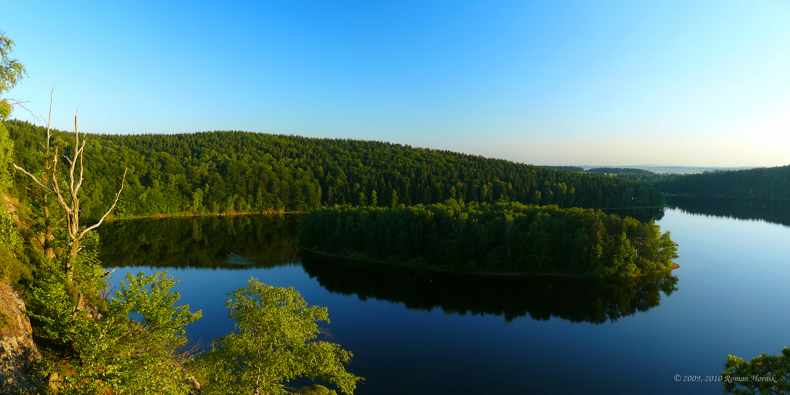
Iron Mountains (Czech Republic) on:
[Wikipedia]
[Google]
[Amazon]
The Iron Mountains (Železné hory) is a mountain range in the
 The Iron Mountains are located in the basin of the river
Czech Republic
The Czech Republic, or simply Czechia, is a landlocked country in Central Europe. Historically known as Bohemia, it is bordered by Austria to the south, Germany to the west, Poland to the northeast, and Slovakia to the southeast. The ...
, which is a part of the Bohemian-Moravian Highlands
The Bohemian-Moravian Highlands ( cs, Českomoravská vrchovina or ''Vysočina''; german: Böhmisch-Mährische Höhe) is a geomorphological macroregion and mountain range in the Czech Republic. Its highest peaks are the Javořice at and Devět s ...
. Their location is in the North of the Bohemian-Moravian Highlands. They have an area of 748 km², their average height is 480,8 metres, and their highest peak is Pešava at a height of 697 metres which is located exactly in the Sečská Upland, which is part of the Iron Mountains. But other sources state that the highest peak is Vestec, at a height of 668 metres.
Etymology
The mountain's name originates from the past metal abundance of the region, as it was the site of many mines ofiron
Iron () is a chemical element with symbol Fe (from la, ferrum) and atomic number 26. It is a metal that belongs to the first transition series and group 8 of the periodic table. It is, by mass, the most common element on Earth, right in f ...
.
Geography
The mountain range can be characterised geographically, as an upland with a triangular shape, with a plateau from the southeast through to the northwest of the mountains. Divisions *Chvaletická Plateau *Sečská Upland Highest mountain peaks *Pešava 697 metres *Vestec 668 metres *Spálava 663 metres *U Chloumku 661 metres *Srní 653 metres *Zuberský vrch 650 metres *Polom 649 metresWaters
 The Iron Mountains are located in the basin of the river
 Elbe
The Elbe (; cs, Labe ; nds, Ilv or ''Elv''; Upper and dsb, Łobjo) is one of the major rivers of Central Europe. It rises in the Giant Mountains of the northern Czech Republic before traversing much of Bohemia (western half of the Czech Repu ...
. The longest rivers in the area are Chrudimka and Doubrava. On the first river the following artificial water reservoirs are located: Seč I (the largest reservoir), Seč II, Křižanovice I, and Křižanovice II. Next to the reservoirs are located several holiday spots.
Settlements
In the mountains and around the area are located several villages, towns and cities: Heřmanův Městec,Třemošnice
Třemošnice () is a town in Chrudim District in the Pardubice Region of the Czech Republic. It has about 3,300 inhabitants.
Administrative parts
Villages of Hedvikov, Kubíkovy Duby, Lhůty, Podhradí, Skoranov, Starý Dvůr and Závratec are a ...
, Chrudim
Chrudim () is a town in the Pardubice Region of the Czech Republic. It has about 23,000 inhabitants. It is the second largest town of the region. The historic town centre is well preserved and is protected by law as an urban monument zone.
Admin ...
, Slatiňany
Slatiňany () is a town in Chrudim District in the Pardubice Region of the Czech Republic. It has about 4,100 inhabitants.
Administrative parts
Villages of Kochánovice, Kunčí, Škrovád and Trpišov are administrative parts of Slatiňany.
Geog ...
and Hlinsko
Hlinsko () is a town in Chrudim District in the Pardubice Region of the Czech Republic. It has about 9,400 inhabitants. It is the natural centre of a microregion called ''Hlinecko''. The local part of Betlém is well preserved example of folk arch ...
.
References
{{Authority control Mountain ranges of the Czech Republic Chrudim District Havlíčkův Brod District