interfluve on:
[Wikipedia]
[Google]
[Amazon]
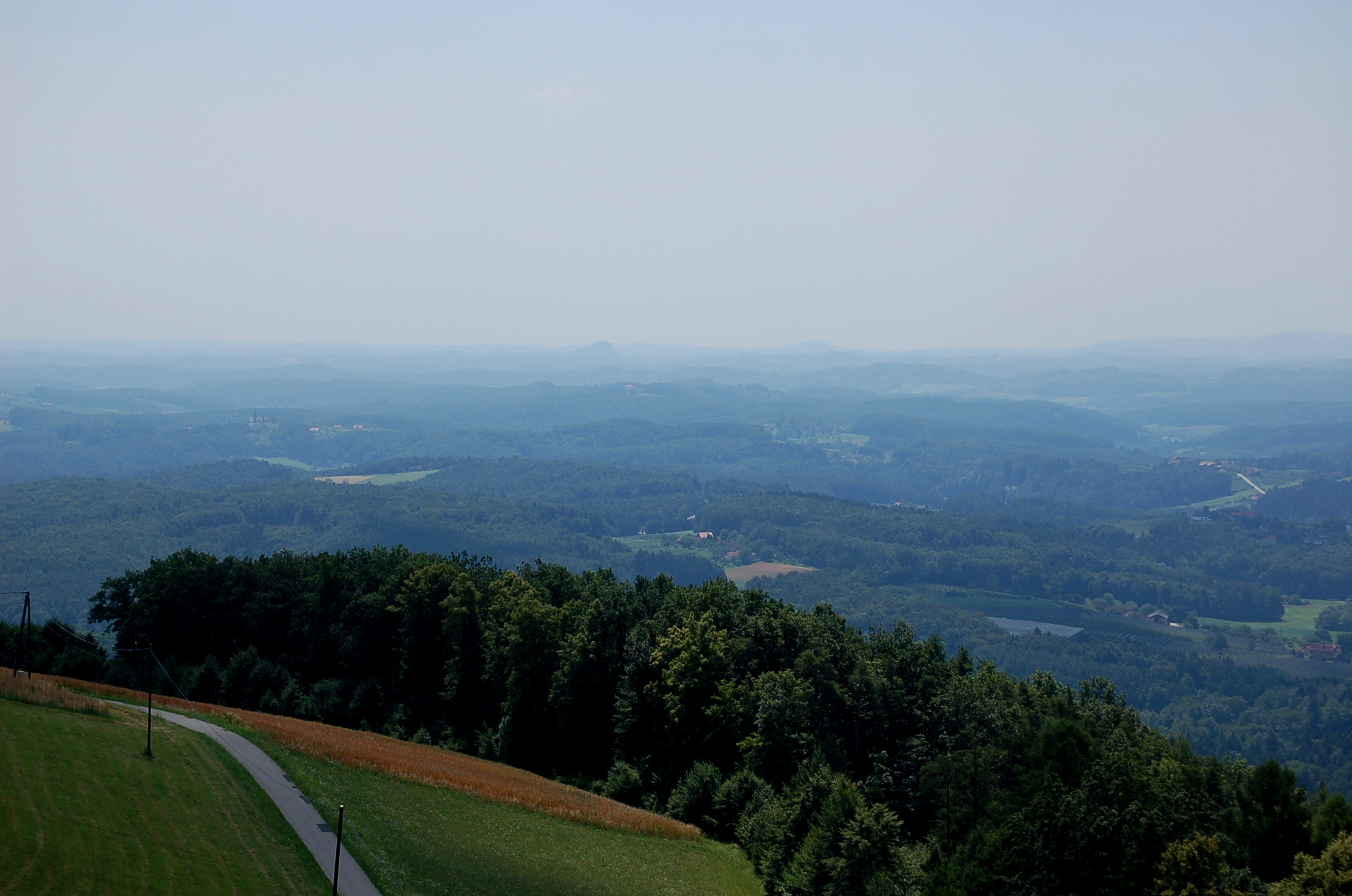
 An interfluve is a narrow, elongated and plateau-like or
''Sicherung und Entwicklung der charakteristischen Riedellandschaft zwischen Dürrer Aurach und Aubach''
at www.land-oberoesterreich.gv.at. Retrieved 1 Jan 2015
* the majority of the
ridge
A ridge or a mountain ridge is a geographical feature consisting of a chain of mountains or hills that form a continuous elevated crest for an extended distance. The sides of the ridge slope away from the narrow top on either side. The line ...
-like landform between two valley
A valley is an elongated low area often running between hills or mountains, which will typically contain a river or stream running from one end to the other. Most valleys are formed by erosion of the land surface by rivers or streams over ...
s.Leser, Hartmut, ed. (2005). ''Wörterbuch Allgemeine Geographie'', 13th ed., dtv, Munich, p. 766, . More generally, an interfluve is defined as an area of higher ground between two rivers in the same drainage system.
Formation
These landforms are created byearth flow
An earthflow (earth flow) is a downslope viscous flow of fine-grained materials that have been saturated with water and moves under the pull of gravity. It is an intermediate type of mass wasting that is between downhill creep and mudflow. The ty ...
("solifluction
Solifluction is a collective name for gradual processes in which a mass moves down a slope (" mass wasting") related to freeze-thaw activity. This is the standard modern meaning of solifluction, which differs from the original meaning given to ...
"). They can also be former river terraces that are subsequently bisected by fluvial erosion. In cases where there is a deposit of younger sedimentary beds ( loess, colluvium) the interfluves have a rounder and less rugged appearance. A consequence of interfluve formation is the so-called "interfluvial landscape."
Occurrence of interfluvial landscapes
* In SouthBurgenland
Burgenland (; hu, Őrvidék; hr, Gradišće; Austro-Bavarian: ''Burgnland;'' Slovene: ''Gradiščanska'') is the easternmost and least populous state of Austria. It consists of two statutory cities and seven rural districts, with a total of ...
and in the East Styrian Hills of Austriaat www.land-oberoesterreich.gv.at. Retrieved 1 Jan 2015
natural region
A natural region (landscape unit) is a basic geographic unit. Usually, it is a region which is distinguished by its common natural features of geography, geology, and climate.
From the ecological point of view, the naturally occurring flora and ...
of the Iller-Lech Plateau in Bavaria
Bavaria ( ; ), officially the Free State of Bavaria (german: Freistaat Bayern, link=no ), is a state in the south-east of Germany. With an area of , Bavaria is the largest German state by land area, comprising roughly a fifth of the total l ...
n Swabia and Upper Swabia
Upper Swabia (german: Oberschwaben or ) is a region in Germany in the federal states of Baden-Württemberg and Bavaria.''Brockhaus Enzyklopädie.'' 19. Auflage. Band 16, 1991, p. 72. The name refers to the area between the Swa ...
(Baden-Württemberg
Baden-Württemberg (; ), commonly shortened to BW or BaWü, is a German state () in Southwest Germany, east of the Rhine, which forms the southern part of Germany's western border with France. With more than 11.07 million inhabitants across a ...
) with the exception of the major river valleys of the Danube
The Danube ( ; ) is a river that was once a long-standing frontier of the Roman Empire and today connects 10 European countries, running through their territories or being a border. Originating in Germany, the Danube flows southeast for , ...
, Iller and Lech, the Donauried
The Donauried is a river landscape around the Danube in western Bavaria between Neu-Ulm and Donauwörth. Water meadow woods dominate the scene from Ulm to Lauingen. In addition, the man-made reservoirs near Faimingen, the Swabian Donaumoos ...
and the Federseeried as well as the Old Drift landscapes south of the natural region.
See also
*Doab
''Doab'' () is a term used in South Asia Quote: "Originally and chiefly in South Asia: (the name of) a strip or narrow tract of land between two rivers; spec. (with) the area between the rivers Ganges and Jumna in northern India." for the tract ...
* Interamnia (disambiguation)
References