High Holborn on:
[Wikipedia]
[Google]
[Amazon]

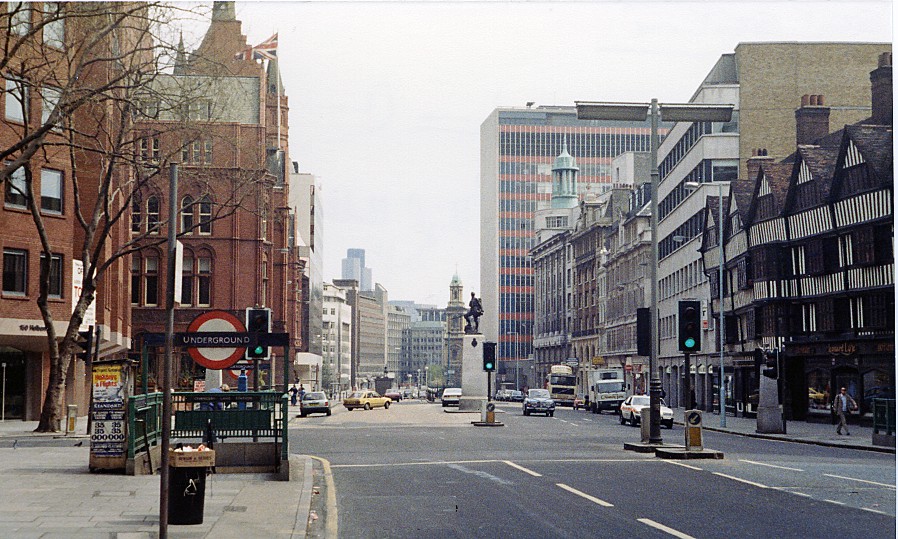
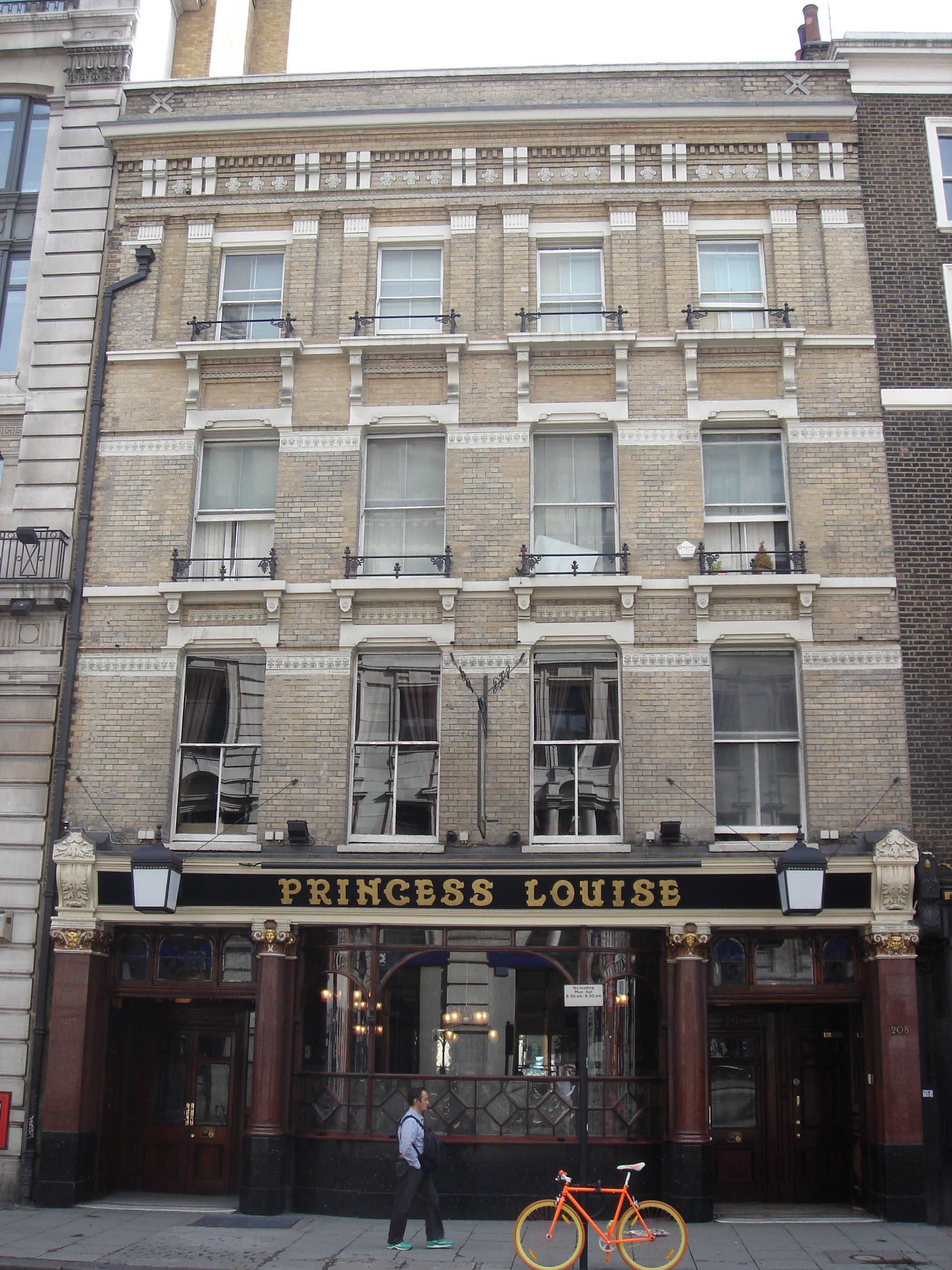
 High Holborn ( ) is a street in
LondonTown.com information
Streets in the London Borough of Camden Streets in the City of London Holborn {{London-road-stub

Holborn
Holborn ( or ) is a district in central London, which covers the south-eastern part of the London Borough of Camden and a part ( St Andrew Holborn Below the Bars) of the Ward of Farringdon Without in the City of London.
The area has its roots ...
and Farringdon Without
__NOTOC__
Farringdon Without is the most westerly Ward of the City of London, its suffix ''Without'' reflects its origin as lying beyond the City's former defensive walls. It was first established in 1394 to administer the suburbs west of Ludga ...
, Central London
Central London is the innermost part of London, in England, spanning several boroughs. Over time, a number of definitions have been used to define the scope of Central London for statistics, urban planning and local government. Its characteris ...
, which forms a part of the A40 route from London to Fishguard
Fishguard ( cy, Abergwaun, meaning "Mouth of the River Gwaun") is a coastal town in Pembrokeshire, Wales, with a population of 3,419 in 2011; the community of Fishguard and Goodwick had a population of 5,407. Modern Fishguard consists of two pa ...
. It starts in the west at the eastern end of St Giles High Street and runs past the Kingsway and Southampton Row
The A4200 is a major thoroughfare in central London. It runs between the A4 at Aldwych, to the A400 Hampstead Road/ Camden High Street, at Mornington Crescent tube station.
Kingsway
Kingsway is a major road in central London, desig ...
, becoming Holborn at its eastern junction with Gray's Inn Road
Gray's Inn Road (or Grays Inn Road) is an important road in the Bloomsbury district of Central London, in the London Borough of Camden. The road begins at the City of London boundary, where it bisects High Holborn, and ends at King's Cross and ...
. The western stretch as far as Drury Lane
Drury Lane is a street on the eastern boundary of the Covent Garden area of London, running between Aldwych and High Holborn. The northern part is in the borough of Camden and the southern part in the City of Westminster.
Notable landmarks ...
, was formerly known as Broad Street. On High Holborn, traffic (including cycles and buses) flows one-way westbound from its junction with Drake Street to its western end, and flows both ways for the remainder.
The nearest London Underground
The London Underground (also known simply as the Underground or by its nickname the Tube) is a rapid transit system serving Greater London and some parts of the adjacent ceremonial counties of England, counties of Buckinghamshire, Essex and He ...
stations are Tottenham Court Road
Tottenham Court Road (occasionally abbreviated as TCR) is a major road in Central London, almost entirely within the London Borough of Camden.
The road runs from Euston Road in the north to St Giles Circus in the south; Tottenham Court Road tub ...
, Holborn
Holborn ( or ) is a district in central London, which covers the south-eastern part of the London Borough of Camden and a part ( St Andrew Holborn Below the Bars) of the Ward of Farringdon Without in the City of London.
The area has its roots ...
, and Chancery Lane
Chancery Lane is a one-way street situated in the ward of Farringdon Without in the City of London. It has formed the western boundary of the City since 1994, having previously been divided between the City of Westminster and the London Boroug ...
, all on the Central line which runs beneath High Holborn.
Landmarks along High Holborn include the Cittie of Yorke, at no. 22, and the Embassy of Cuba, at no. 167.
The street was a "Feature site" for introduction of the Camden bench
The Camden bench is a type of concrete street furniture. It was commissioned by Camden London Borough Council and installed in Camden, London, in 2012.
It is designed specifically to influence the behaviour of the public by restricting certa ...
.
High Holborn is the highest point in the City of London
The City of London is a city, ceremonial county and local government district that contains the historic centre and constitutes, alongside Canary Wharf, the primary central business district (CBD) of London. It constituted most of London fr ...
. At 22 metres (72 feet) above sea level, High Holborn is the lowest county top
The mountains and hills of the British Isles are categorised into various lists based on different combinations of elevation, prominence, and other criteria such as isolation. These lists are used for peak bagging, whereby hillwalkers attempt ...
in England.
References
External links
LondonTown.com information
Streets in the London Borough of Camden Streets in the City of London Holborn {{London-road-stub