Hummer Point on:
[Wikipedia]
[Google]
[Amazon]
Hummer Point is the eastern point of the ice-covered
 A 490 ha site on
Gurnon Peninsula
Bear Peninsula () is a peninsula about 80 km (50 mi) long and 40 km (25 mi) wide which is ice covered except for several isolated rock bluffs and outcrops along its margins, lying 48 km 30 mi) east of Martin Peninsul ...
, an eastern arm of Bear Peninsula
Bear Peninsula () is a peninsula about 80 km (50 mi) long and 40 km (25 mi) wide which is ice covered except for several isolated rock bluffs and outcrops along its margins, lying 48 km 30 mi) east of Martin Peninsula ...
, on the Walgreen Coast
The Walgreen Coast () is a portion of the coast of Antarctica between Cape Herlacher and Cape Waite, or between Eights Coast on the east and Bakutis Coast in the west. It is part of Marie Byrd Land. It extends from 103°24'W to 114°12'W. It was ...
of Marie Byrd Land
Marie Byrd Land (MBL) is an unclaimed region of Antarctica. With an area of , it is the largest unclaimed territory on Earth. It was named after the wife of American naval officer Richard E. Byrd, who explored the region in the early 20th centur ...
, Antarctica
Antarctica () is Earth's southernmost and least-populated continent. Situated almost entirely south of the Antarctic Circle and surrounded by the Southern Ocean, it contains the geographic South Pole. Antarctica is the fifth-largest contine ...
, extending into the Amundsen Sea
The Amundsen Sea, an arm of the Southern Ocean off Marie Byrd Land in western Antarctica, lies between Cape Flying Fish (the northwestern tip of Thurston Island) to the east and Cape Dart on Siple Island to the west. Cape Flying Fish marks the ...
.
Discovery and naming
The headland was mapped by theUnited States Geological Survey
The United States Geological Survey (USGS), formerly simply known as the Geological Survey, is a scientific agency of the United States government. The scientists of the USGS study the landscape of the United States, its natural resources, ...
from surveys and U.S. Navy
The United States Navy (USN) is the maritime service branch of the United States Armed Forces and one of the eight uniformed services of the United States. It is the largest and most powerful navy in the world, with the estimated tonnage o ...
aerial photographs from 1959 to 1966, and was named by the Advisory Committee on Antarctic Names
The Advisory Committee on Antarctic Names (ACAN or US-ACAN) is an advisory committee of the United States Board on Geographic Names responsible for recommending commemorative names for features in Antarctica.
History
The committee was established ...
in 1977 after Dr Michael G. Hummer.
Important Bird Area
 A 490 ha site on
 fast ice
Fast ice (also called ''land-fast ice'', ''landfast ice'', and ''shore-fast ice'') is sea ice that is "fastened" to the coastline, to the sea floor along shoals or to grounded icebergs.Leppäranta, M. 2011. The Drift of Sea Ice. Berlin: Springer ...
east of the headland has been designated an Important Bird Area
An Important Bird and Biodiversity Area (IBA) is an area identified using an internationally agreed set of criteria as being globally important for the conservation of bird populations.
IBA was developed and sites are identified by BirdLife Int ...
(IBA) by BirdLife International
BirdLife International is a global partnership of non-governmental organizations that strives to conserve birds and their habitats. BirdLife International's priorities include preventing extinction of bird species, identifying and safeguarding ...
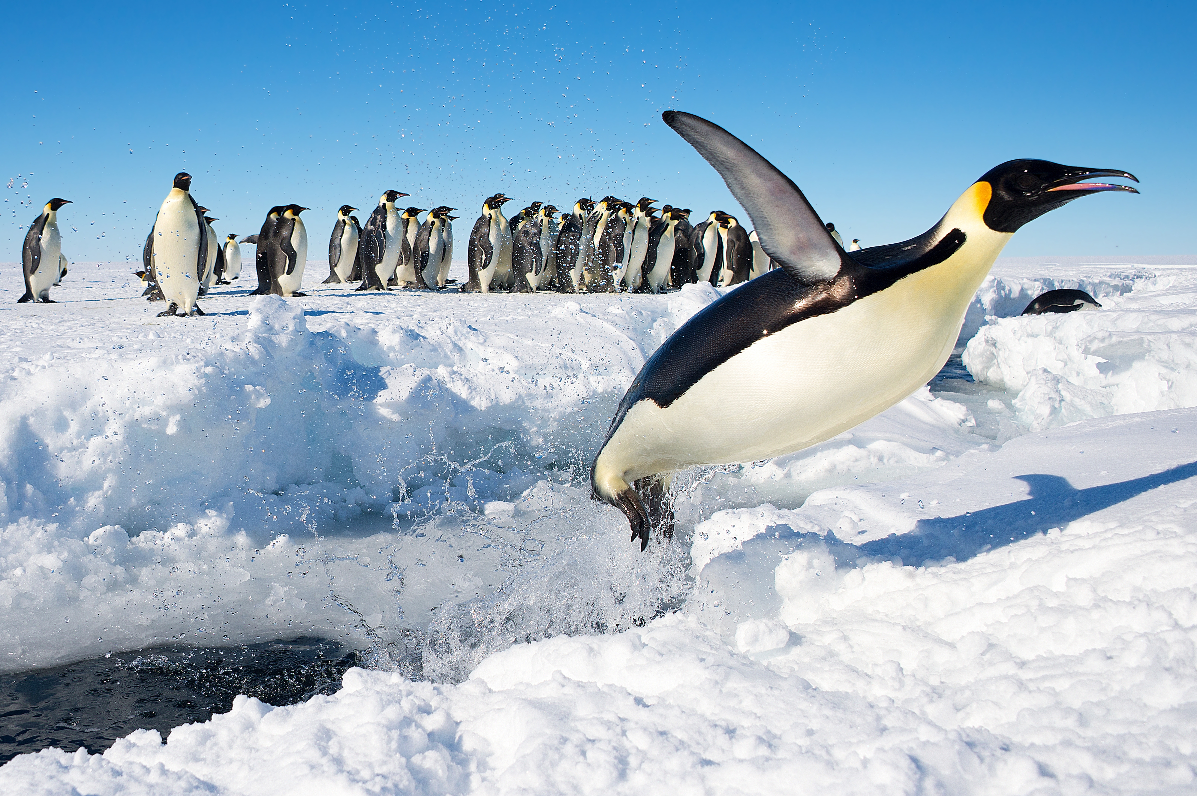
because it supports a breeding colony of about 9,500 emperor penguins
The emperor penguin (''Aptenodytes forsteri'') is the tallest and heaviest of all living penguin species and is endemic to Antarctica. The male and female are similar in plumage and size, reaching in length and weighing from . Feathers of th ...
s, estimated from 2009 satellite imagery.
References
Important Bird Areas of Antarctica Penguin colonies Headlands of Marie Byrd Land {{MarieByrdLand-geo-stub