Hayatabad on:
[Wikipedia]
[Google]
[Amazon]
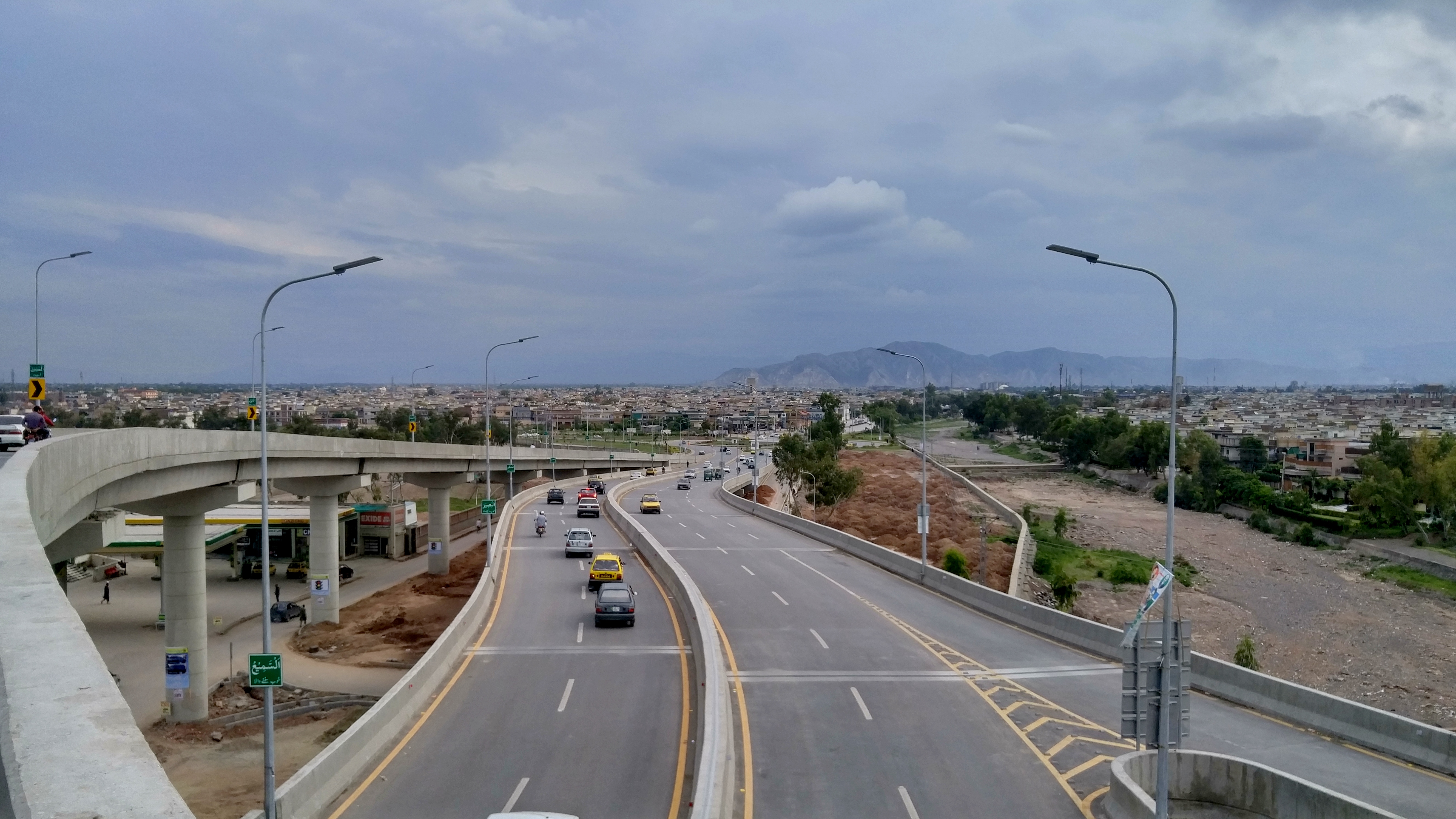
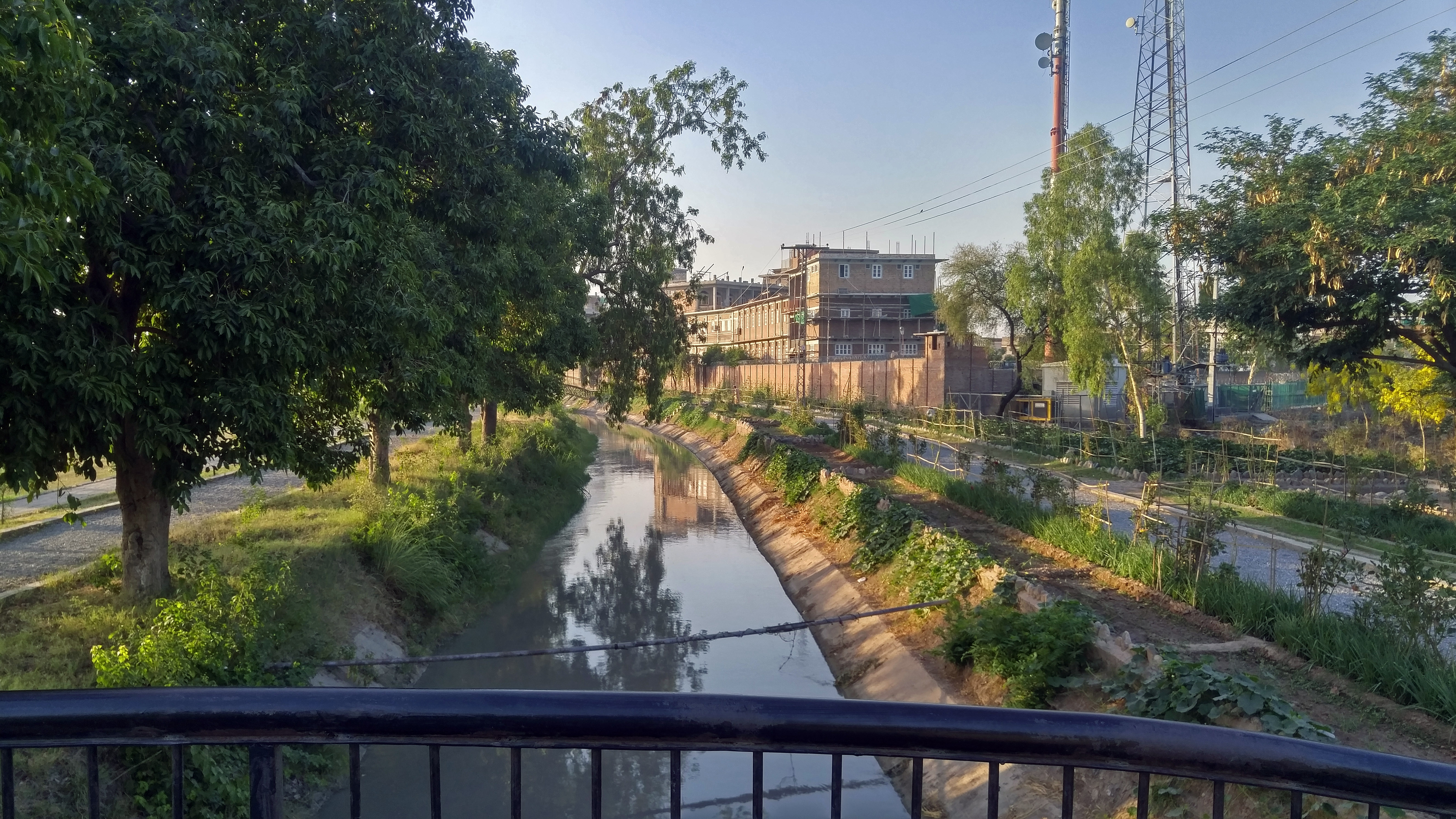
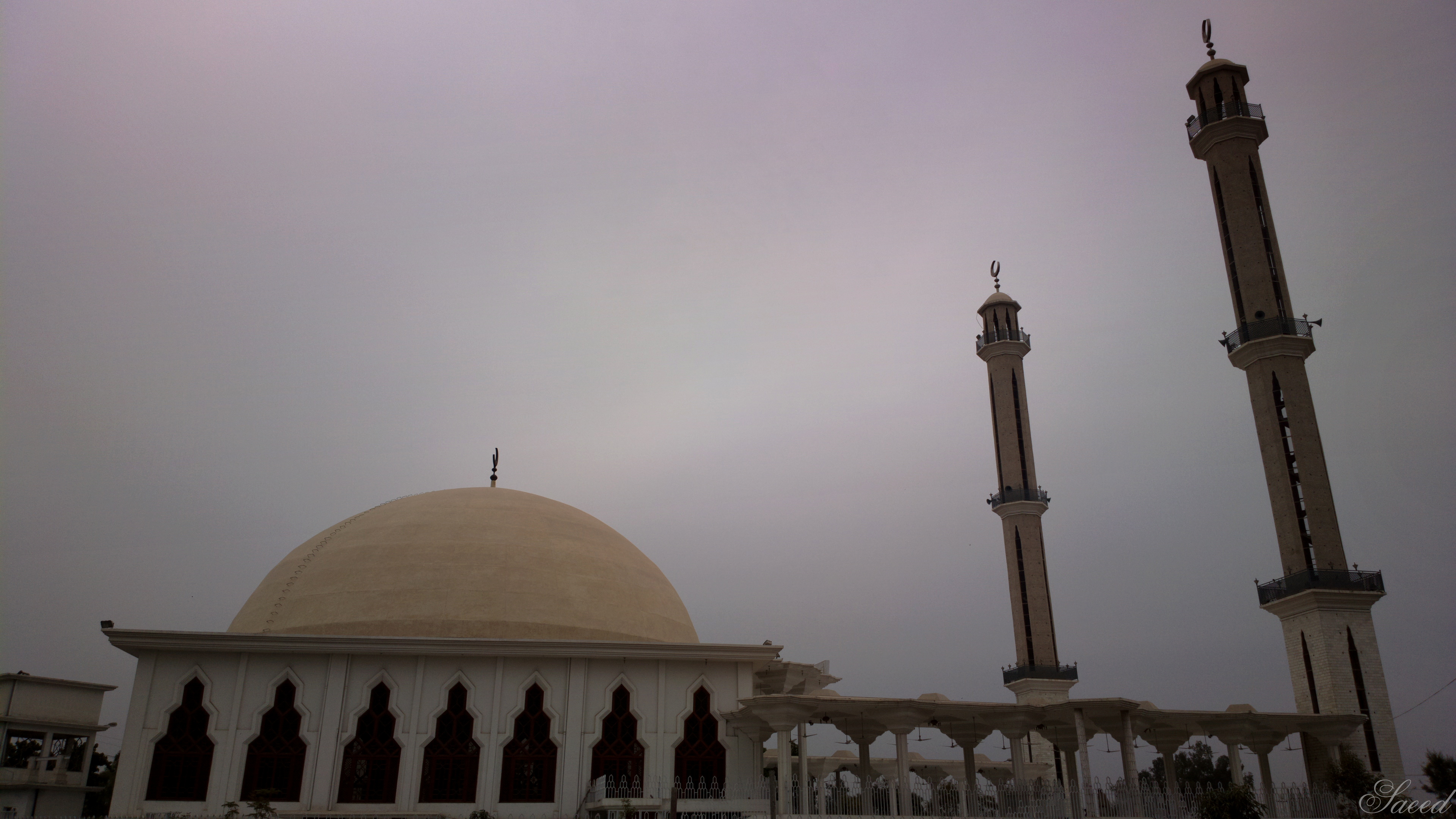
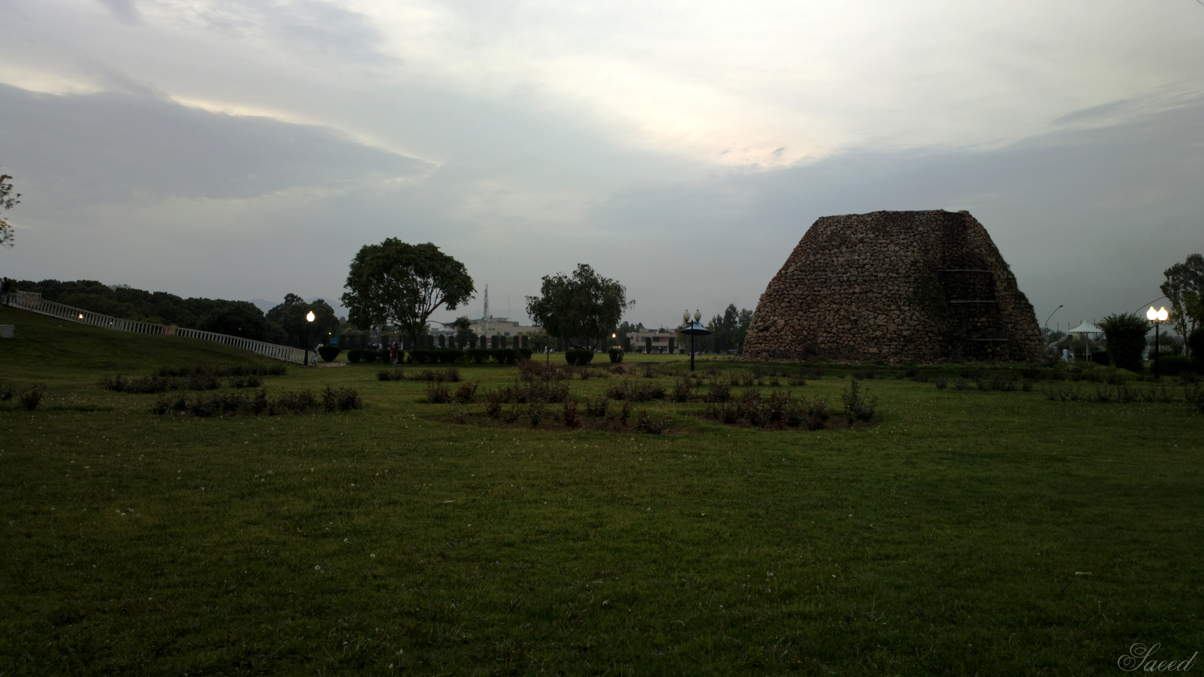
 Hayatabad is a suburb on the western outskirts of
 The government has divided Hayatabad into seven numbered phases. Each phase is subdivided into lettered sectors, A-H. The suburb can be accessed via three routes from Jamrud Road and one from the Ring Road. Hayatabad is the western most terminus of the TransPeshawar bus rapid transit line.


 Peshawar Development Authority (PDA) is responsible for maintenance and development of the city, including Hayatabad. There are several schools, colleges, universities, hospitals & clinics, parks, shopping malls, and commercial offices in the suburb.
Habib Physiotherapy Complex (Phase 5)Peshawar Institute of Medical Sciences (Phase 5)
* Shaukat Khanum Memorial Cancer Hospital & Research Center (Phase 5)
Rehman Medical Institute (Phase 5)
North West General Hospital (Phase 5)
* Peshawar Institute of Cardiology Phase 5. * Paraplegic center peshawar pase 4 Hayatabad. * Life Care Hospital Hayatabad Phase 5. * Fountain House, Mental Hospital Hayatabad
 Phase 1:
* FAST NUCES, Peshawar Campus (Industrial Estate)
* The City Nursery, Hayatabad
Phase 2:
* International Islamic University Islamabad, Khyber Campus (IIUI)
* Beaconhouse School System Khyber Campus
* Forward Model School
* IQRA National University
Phase 3:
* Forward Public School
* Qurtuba University
* Qurtuba Public School and College
* The City School Hayatabad Junior
Phase 4:
* Frontier Children's Academy
* Frontier Youth Academy
* Frontier Science Academy
* Hayatabad Model School
* Learning Institute of Modern Sciences
* Post Graduate Medical Institute (PGMI)
* LIMS School and College
Phase 5:
* Khyber Medical University
* Pak International Medical College
* Khyber Girls Medical College
* The City School Peshawar Campus Hayatabad
* Institute of Public Health and Social Sciences (IPH&SS)
* Institute of Physical Medicine and Rehabilitation (IPM&R)
* Rehman Medical College
Phase 6:
* Beaconhouse School System Frontier Campus
* St. Francis' High School
* CECOS University of IT and Emerging Sciences
* Government Degree College for Boys
Phase 7:
* Institute of Management Sciences (IMSciences)

 * Bagh-e-Naraan (Phase 1)
* Tatara Park (Phase 1)
*Ghani Bagh (Phase 2)
*Yousafzai Park (Phase 3)
* Complex Park (Phase 4)
* Khyber Park (Phase 5)
* Shaliman Park (Phase 6)
* Bangash Market Park (Phase 6)
* Behram Park (Phase 7)
Khyber Agency
{{Neighbourhoods of Peshawar Populated places in Peshawar District
 Hayatabad is a suburb on the western outskirts of
 Peshawar
Peshawar (; ps, پېښور ; hnd, ; ; ur, ) is the sixth most populous city in Pakistan, with a population of over 2.3 million. It is situated in the north-west of the country, close to the International border with Afghanistan. It is ...
, the capital of the Khyber Pakhtunkhwa
Khyber Pakhtunkhwa (; ps, خېبر پښتونخوا; Urdu, Hindko: خیبر پختونخوا) commonly abbreviated as KP or KPK, is one of the Administrative units of Pakistan, four provinces of Pakistan. Located in the Geography of Pakistan, ...
province of Pakistan
Pakistan ( ur, ), officially the Islamic Republic of Pakistan ( ur, , label=none), is a country in South Asia. It is the world's fifth-most populous country, with a population of almost 243 million people, and has the world's second-lar ...
. It borders the now defunct Tribal Areas and is close to Torkham
Torkham (; ps, , translit=tūrxam) is a major border crossing between the Pakistani city of Torkham and Afghanistan, located along the Grand Trunk Road on the international border between the two countries. It connects Nangarhar province of A ...
, which is the major border crossing point between Pakistan and Afghanistan
Afghanistan, officially the Islamic Emirate of Afghanistan,; prs, امارت اسلامی افغانستان is a landlocked country located at the crossroads of Central Asia and South Asia. Referred to as the Heart of Asia, it is bordere ...
. The suburb is home to several of Peshawar's educational and health institutions. Hayatabad is named after Hayat Sherpao
Hayat Mohammad Khan Sherpao ( Urdu: حيات محمد خان شيرپاؤ; 1 February 1937 – February 8, 1975), simply known as Hayat Sherpao, was a left-wing intellectual and socialist, serving as the 15th Governor of North West Frontier P ...
, a Pakistani Pashtun politician.
Geography
Hayatabad was developed as a residential area near Peshawar in the late 1970s. Primarily residential, it also contains anIndustrial Estate
An industrial park (also known as industrial estate, trading estate) is an area zoned and planned for the purpose of industrial development. An industrial park can be thought of as a more "heavyweight" version of a business park or office park ...
.


Demographics
The communities of Hayatabad form a diverse spectrum ranging from locals settled for generations to expatriates on temporary assignments belonging to different ethnicities and cultural backgrounds. Owing to its proximity toPeshawar
Peshawar (; ps, پېښور ; hnd, ; ; ur, ) is the sixth most populous city in Pakistan, with a population of over 2.3 million. It is situated in the north-west of the country, close to the International border with Afghanistan. It is ...
and the adjoined Industrial Estate
An industrial park (also known as industrial estate, trading estate) is an area zoned and planned for the purpose of industrial development. An industrial park can be thought of as a more "heavyweight" version of a business park or office park ...
, Pashtuns and Persians, as well as Afghan refugees, reside in Hayatabad.
Facilities

 Peshawar Development Authority (PDA) is responsible for maintenance and development of the city, including Hayatabad. There are several schools, colleges, universities, hospitals & clinics, parks, shopping malls, and commercial offices in the suburb.
Hospitals
There are several general and specialized hospitals, along with private practice clinics available. The hospitals are primarily located in Phase 4 and 5, whereas private practice clinics are scattered in almost all phases. A list of hospitals is given below: * Hayatabad Medical Complex (Phase 4)Habib Physiotherapy Complex (Phase 5)
* Shaukat Khanum Memorial Cancer Hospital & Research Center (Phase 5)
Rehman Medical Institute (Phase 5)
North West General Hospital (Phase 5)
* Peshawar Institute of Cardiology Phase 5. * Paraplegic center peshawar pase 4 Hayatabad. * Life Care Hospital Hayatabad Phase 5. * Fountain House, Mental Hospital Hayatabad
Educational institutions
 Phase 1:
* FAST NUCES, Peshawar Campus (Industrial Estate)
* The City Nursery, Hayatabad
Phase 2:
* International Islamic University Islamabad, Khyber Campus (IIUI)
* Beaconhouse School System Khyber Campus
* Forward Model School
* IQRA National University
Phase 3:
* Forward Public School
* Qurtuba University
* Qurtuba Public School and College
* The City School Hayatabad Junior
Phase 4:
* Frontier Children's Academy
* Frontier Youth Academy
* Frontier Science Academy
* Hayatabad Model School
* Learning Institute of Modern Sciences
* Post Graduate Medical Institute (PGMI)
* LIMS School and College
Phase 5:
* Khyber Medical University
* Pak International Medical College
* Khyber Girls Medical College
* The City School Peshawar Campus Hayatabad
* Institute of Public Health and Social Sciences (IPH&SS)
* Institute of Physical Medicine and Rehabilitation (IPM&R)
* Rehman Medical College
Phase 6:
* Beaconhouse School System Frontier Campus
* St. Francis' High School
* CECOS University of IT and Emerging Sciences
* Government Degree College for Boys
Phase 7:
* Institute of Management Sciences (IMSciences)
Parks

 * Bagh-e-Naraan (Phase 1)
* Tatara Park (Phase 1)
*Ghani Bagh (Phase 2)
*Yousafzai Park (Phase 3)
* Complex Park (Phase 4)
* Khyber Park (Phase 5)
* Shaliman Park (Phase 6)
* Bangash Market Park (Phase 6)
* Behram Park (Phase 7)
References
External links
Khyber Agency
{{Neighbourhoods of Peshawar Populated places in Peshawar District