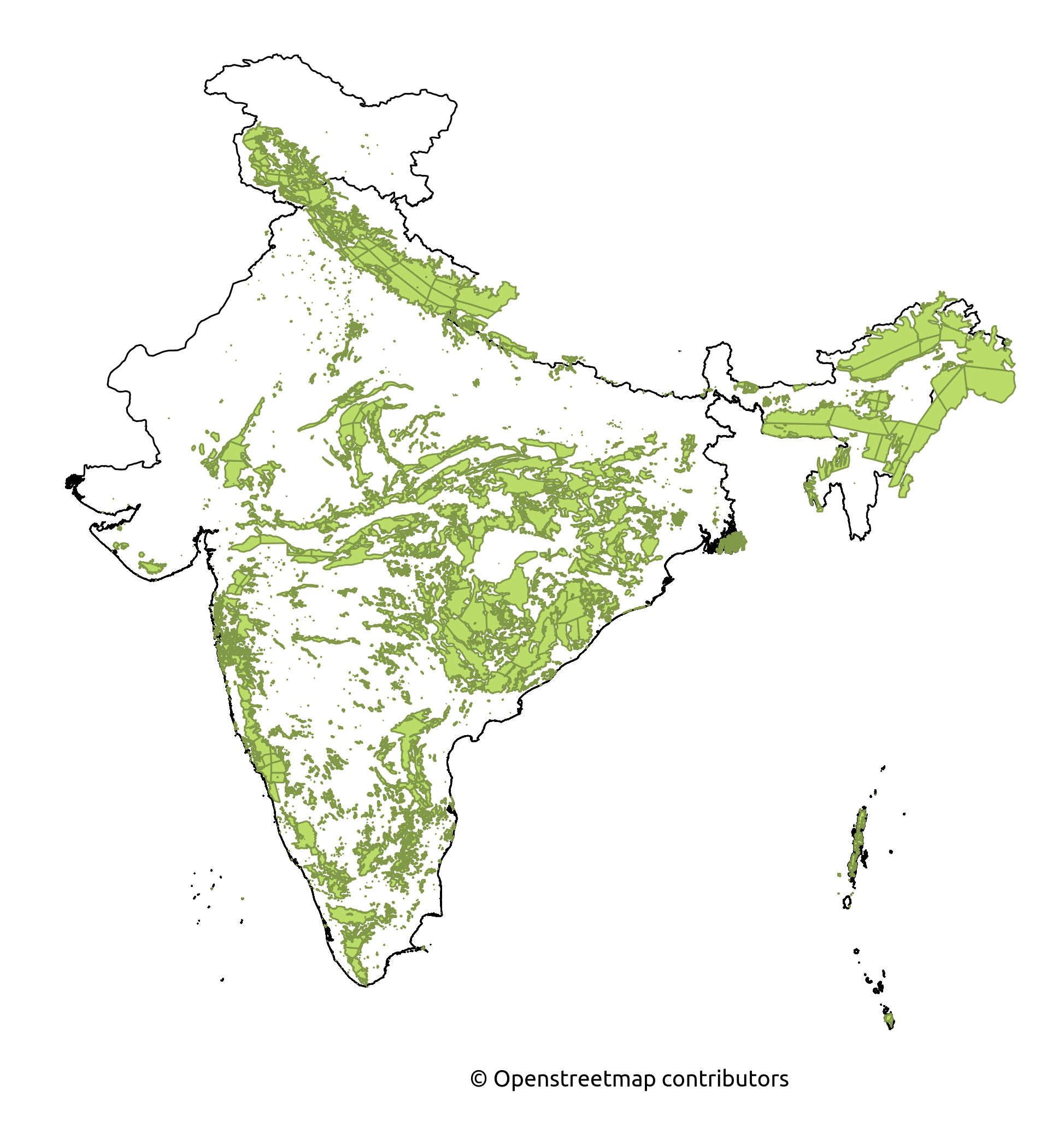
Forest cover by state in India on:
[Wikipedia]
[Google]
[Amazon]
List of how many forests and percentage of forest cover in

India
India, officially the Republic of India (Hindi: ), is a country in South Asia. It is the seventh-largest country by area, the second-most populous country, and the most populous democracy in the world. Bounded by the Indian Ocean on the so ...
by state.
Tree density
Tree density is the quantification of how closely the trees are growing in a hectare area. It is not the exact number of trees in the forest but, serves as an estimate to the foresters..The tree density of an area should be mentioned by the working Plan officer (WPO) or Divisional Forest Officer (Working Plan) after his field inspection of the lowest possible forest unit or compartment in the CH-3 form of compartment history. The compartment history forms are to be maintained at the Forest range and Forest division offices. The working Plan code-2014 mentions in the para 105 that the density should also be mentioned on the stock map prepared by the WPO/DFO in decimal figures. The crown density is similar to the tree density. The forest area with density more than 0.4 are considered good forest area and forest area with less than 0.4 tree density are considereddegraded forest
A secondary forest (or second-growth forest) is a forest or woodland area which has re-grown after a timber harvest or clearing for agriculture, until a long enough period has passed so that the effects of the disturbance are no longer evident. ...
.
Forest cover
Forest cover is the total geographical area declared as forest by the government. As of 2021, the total forest cover in India is 80.9 million hectares , which is 24.62 percent of the total geographical area. There is a 1,540 sq.km increase in forest cover over 2019. Madhya Pradesh has the highest forest cover as per the area followed by the Arunachal Pradesh. Mizoram has the highest forest cover in terms of percentage of total geographical area. Ministry of the environment forest and climate change used the mid resolution satellite data on LISS-III data from Indian remote sensing satellite. Minister of environment forest and climate change Bhupendra Yadav released the Indian forest survey report 2021-22 on the 13 January 2022. As per the report, 17 Indian states have a forest cover over 33%.Forest cover over the years

2021
The forest cover in 2021 in India by state and union territory as published by the Forest Survey of India (FSI) is shown in the table below. Very Dense= All lands with tree canopy density of 70 percent ( 0.7 tree density) and above. Moderately Dense= All lands with tree canopy density of 40 percent and more but less than 70 percent ( 0.4 to 0.7 tree density). Open Forest= All lands with tree canopy density of 10 percent and more but less than 40 percent (0.1 to 0.4 tree density). (Area in square kilometers)2017
The forest cover in 2017 in India by state and union territory as published by the Forest Survey of India (FSI) is shown in the table below. Very Dense= All lands with tree canopy density of 70 percent ( 0.7 tree density) and above. Moderately Dense= All lands with tree canopy density of 40 percent and more but less than 70 percent ( 0.4 to 0.7 tree density). Open Forest= All lands with tree canopy density of 10 percent and more but less than 40 percent (0.1 to 0.4 tree density). Scrub= All forest lands with poor tree growth mainly of small or stunted trees canopy density less than 10 percent (Less than 0.1 tree density). (Area in square kilometers)2015
According to Forest Survey of India (FSI), the forest cover by State/UT in India in 2015 is listed below. Very Dense= All lands with tree canopy density of 70 percent and above. Moderately Dense= All lands with tree canopy density of 40 percent and more but less than 70 percent. Open Forest= All lands with tree canopy density of 10 percent and more but less than 40 percent. (Area in square kilometers)See also
*List of countries by forest area
This article is a list of countries by forest area.
Planet, continents and regions
All areas are given in units of 1000 hectares. Source: Food and Agriculture Organization
Countries and territories
All areas are given in units of 1000 h ...
*List of forests in India
The following table is a non-exhaustive list of forests found in India.
See also
*Lists of forests
*Communal forests of India
*Protected areas of India
*Reserved forests and protected forests of India
*Tropical rainforests of India
*List of count ...
*Indian Forest Service
The Indian Forest Service (IFS) is one of the three All India Services of the Government of India. The other two All India Services being the Indian Administrative Service and the Indian Police Service. It was constituted in the year 1966 und ...
References
{{Reflist . Flora of India by state or union territory India geography-related lists Forestry-related lists India environment-related lists