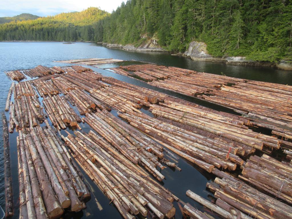
East Cracroft Island on:
[Wikipedia]
[Google]
[Amazon]
 East Cracroft Island is an
 BC Names/GeoBC entry "The Blow Hole"
/ref>
 East Cracroft Island is an
 island
An island (or isle) is an isolated piece of habitat that is surrounded by a dramatically different habitat, such as water. Very small islands such as emergent land features on atolls can be called islets, skerries, cays or keys. An island ...
in the Johnstone Strait
, image = Pacific Ranges over Johnstone Strait.jpg
, image_size = 250px
, alt =
, caption = Johnstone Strait backdropped by the Vancouver Island Ranges
, image_bathymetry = Carte baie Knight ...
region of the Central Coast region of British Columbia
British Columbia (commonly abbreviated as BC) is the westernmost province of Canada, situated between the Pacific Ocean and the Rocky Mountains. It has a diverse geography, with rugged landscapes that include rocky coastlines, sandy beaches, ...
, Canada
Canada is a country in North America. Its ten provinces and three territories extend from the Atlantic Ocean to the Pacific Ocean and northward into the Arctic Ocean, covering over , making it the world's second-largest country by tot ...
. It is the smaller of the two Cracroft Islands, and at low tide is really one island with its larger neighbour, West Cracroft Island
West Cracroft Island is an island in the Johnstone Strait region of the Central Coast of British Columbia, Canada, located east of Port McNeill. It is the larger of the two Cracroft Islands, the other, East Cracroft Island, being so named to dist ...
. On the south side of the shallows that form an isthmus between them at low tide is Port Harvey
Port Harvey is a port on the south side of the Cracroft Islands in the Johnstone Strait region of the Central Coast region of British Columbia, Canada, forming a small bay or inlet south of the shallows that link West Cracroft and East Cracroft ...
, a short, wide inlet or bay. On its east shore is Keecekiltum Indian Reserve No. 2 (11.7 ha.), which is under the governance of the Tlowitsis Nation The Tlowitsis Nation, formerly the Klowitsis Tribe, the Turnour Island Band and the Tlowitsis-Mumtagila First Nation, is the Indian Act band government of the Ławit'sis (Tlowitsis) tribe of the Kwakwaka'wakw peoples, located in the Queen Charlo ...
of the Kwakwaka'wakw peoples. at .
The Cacroft Islands were named for Sophia Cracroft, niece of Sir John Franklin
Sir John Franklin (16 April 1786 – 11 June 1847) was a British Royal Navy officer and Arctic explorer. After serving in wars against Napoleonic France and the United States, he led two expeditions into the Canadian Arctic and through t ...
. She visited the British Columbia with Lady Franklin in 1861. Nearby Sophia Island is also named for her.
The island is separated from the mainland on its northwest by Chatham Channel
Chatham Channel is a strait and marine passageway on the coast of British Columbia. It leads from the lower reaches of Knight Inlet to the opening of Call Inlet, separating Minstrel and East Cracroft Island
East Cracroft Island is an island i ...
, which leads from Knight Inlet
Knight Inlet (Kwakʼwala: ''Tsawatti'') is one of the principal inlets of the British Columbia Coast, and the largest of the major inlets in the southern part of the Coast. It is fifth in sequence of the great saltwater inlets north from the 49th ...
to the entrance to Call Inlet
Call Inlet is an inlet on the Central Coast region of British Columbia, Canada, located south of the lower reaches of Knight Inlet to the east of East Cracroft Island. Pawala Indian Reserve No. 5 is at the head of the inlet. Chatham Channel co ...
to the east. Havannah Passage
Havana (Spanish: ''La Habana'') is the capital and largest city of Cuba.
Havana, Havanna, Havannah or Habana may also refer to:
Geography Australia
* Habana, Queensland, a locality in the Mackay Region
* Havannah Island, a small island in the P ...
leads south from the opening of Call Inlet, then west along the Cracroft Islands' south side to Johnstone Strait
, image = Pacific Ranges over Johnstone Strait.jpg
, image_size = 250px
, alt =
, caption = Johnstone Strait backdropped by the Vancouver Island Ranges
, image_bathymetry = Carte baie Knight ...
. Hull Island is off East Cracroft's southeast in the Havannah Channel.
On the island's north, separating it from Minstrel Island
Minstrel Island, is an island in the Johnstone Strait region of the Central Coast region of British Columbia, Canada. It is near the entrance to Knight Inlet just east of Turnour Island at the junction of Clio and Chatham Channels. The islan ...
, is a narrows called The Blow Hole The Blow Hole is a short marine passage or strait separating Minstrel Island on the north from East Cracroft Island to the south, in the lower Knight Inlet region of the Central Coast region of British Columbia, Canada. At its east end is the no ...
./ref>
See also
*List of islands of British Columbia
This is a list of islands of British Columbia.
South Coast
Vancouver Island
*Vancouver Island
Gulf of Georgia
Gulf Islands
=Southern Gulf Islands=
*Brethour Island
* Cabbage Island
* Curlew Island
* De Courcy Islands
** Mudge Island
**Lin ...
References
{{coord, 50, 34, 29, N, 126, 14, 45, W, display=title, source:BCNames, name=East Cracroft Island Islands of British Columbia Central Coast of British Columbia