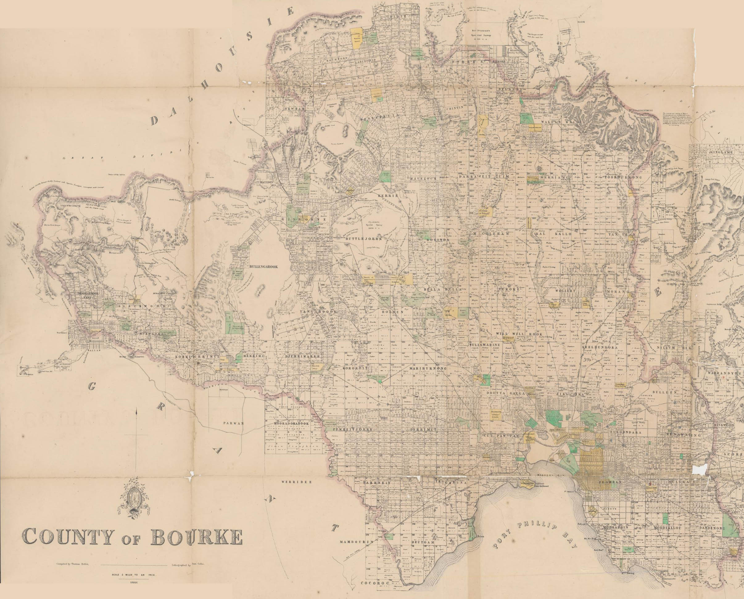
Elgar's Special Survey on:
[Wikipedia]
[Google]
[Amazon]

 In 1841, Henry Elgar purchased or eight square miles of land approximately 10 km east of
{{Citation
, title = Nunawading Parish Plan, Imperial measure N3337-1
, series = Regional Land Office Plans Digitised Reference Set
, author = Victoria. Dept. of Crown Lands and Survey
, url = http://www.prov.vic.gov.au/
, id = PROV, VPRS 16171/P0001/Plans Ne-R/Nunawading(Psh)LOImpN3337-1.pdf
, accessdate = 2010-09-20
History of Melbourne

 In 1841, Henry Elgar purchased or eight square miles of land approximately 10 km east of
 Melbourne
Melbourne ( ; Boonwurrung/Woiwurrung: ''Narrm'' or ''Naarm'') is the capital and most populous city of the Australian state of Victoria, and the second-most populous city in both Australia and Oceania. Its name generally refers to a met ...
, Victoria
Victoria most commonly refers to:
* Victoria (Australia), a state of the Commonwealth of Australia
* Victoria, British Columbia, provincial capital of British Columbia, Canada
* Victoria (mythology), Roman goddess of Victory
* Victoria, Seychelle ...
, Australia
Australia, officially the Commonwealth of Australia, is a Sovereign state, sovereign country comprising the mainland of the Australia (continent), Australian continent, the island of Tasmania, and numerous List of islands of Australia, sma ...
. The land was purchased from the Crown for one pound an acre under the terms of the short-lived Special Survey regulations. The land was considered to be amongst the best land in Boroondara
The City of Boroondara () is a local government area in Victoria, Australia. It is located in the eastern suburbs of Melbourne. It was formed in June 1994 from the amalgamation of the Cities of Kew, Camberwell and Hawthorn.
It has an area of ...
, especially given its convenient location near the established suburbs of Kew
Kew () is a district in the London Borough of Richmond upon Thames. Its population at the 2011 census was 11,436. Kew is the location of the Royal Botanic Gardens ("Kew Gardens"), now a World Heritage Site, which includes Kew Palace. Kew is a ...
, Hawthorn
Hawthorn or Hawthorns may refer to:
Plants
* '' Crataegus'' (hawthorn), a large genus of shrubs and trees in the family Rosaceae
* ''Rhaphiolepis'' (hawthorn), a genus of about 15 species of evergreen shrubs and small trees in the family Rosace ...
and Camberwell
Camberwell () is a district of South London, England, in the London Borough of Southwark, southeast of Charing Cross.
Camberwell was first a village associated with the church of St Giles and a common of which Goose Green is a remnant. This e ...
.
Elgar's Special Survey covered the area now bounded by Burke Road (west), Canterbury Road (south), Elgar Road (east) and the Yarra River
The Yarra River or historically, the Yarra Yarra River, (Kulin languages: ''Berrern'', ''Birr-arrung'', ''Bay-ray-rung'', ''Birarang'', ''Birrarung'', and ''Wongete'') is a perennial river in south-central Victoria, Australia.
The lower stre ...
and Koonung Creek
Koonung Creek (or Koonung Koonung Creek) is a small tributary of the Yarra River in Melbourne's east. The creek originates in Nunawading near Springvale Road, and flows to join the Yarra at the border between Ivanhoe East, Bulleen and Balwyn No ...
(north).
It includes all of the Melbourne suburbs of Balwyn
Balwyn () is a suburb of Melbourne, Victoria, Australia, 10 km east of Melbourne's Central Business District, located within the City of Boroondara local government area. Balwyn recorded a population of 13,495 at the 2021 census.
Whitehor ...
, Balwyn North
Balwyn North, also known as North Balwyn, is a suburb of Melbourne, Victoria, Australia, 10 km east of Melbourne's Central Business District, located within the Cities of Boroondara and Whitehorse local government areas. Balwyn North recor ...
, Mont Albert and Mont Albert North, and the parts of Canterbury
Canterbury (, ) is a City status in the United Kingdom, cathedral city and UNESCO World Heritage Site, situated in the heart of the City of Canterbury local government district of Kent, England. It lies on the River Stour, Kent, River Stour.
...
and Surrey Hills north of Canterbury Road.
The land is in the parishes
A parish is a territorial entity in many Christian denominations, constituting a division within a diocese. A parish is under the pastoral care and clerical jurisdiction of a priest, often termed a parish priest, who might be assisted by one or m ...
of Boroondara and Nunawading in the County of Bourke.Boroondara
The City of Boroondara () is a local government area in Victoria, Australia. It is located in the eastern suburbs of Melbourne. It was formed in June 1994 from the amalgamation of the Cities of Kew, Camberwell and Hawthorn.
It has an area of ...
subdivisions and roads as some boundaries did not conform to the one mile (1.6 km) interval cadastral survey Section lines running north–south and east–west, referenced from the survey datum at Batman's Hill
Batman's Hill in Melbourne, Australia was named for the Vandemonian adventurer and grazier John Batman. Now removed, the 18-metre-high hill was located to the south of today's Collins Street and Southern Cross railway station, and is the site o ...
. It is noted by the Australian Bureau of Statistics
The Australian Bureau of Statistics (ABS) is the independent statutory agency of the Australian Government responsible for statistical collection and analysis and for giving evidence-based advice to federal, state and territory governments ...
as being a particularly well known example of the short-lived special survey system.
References