Donets Ridge on:
[Wikipedia]
[Google]
[Amazon]
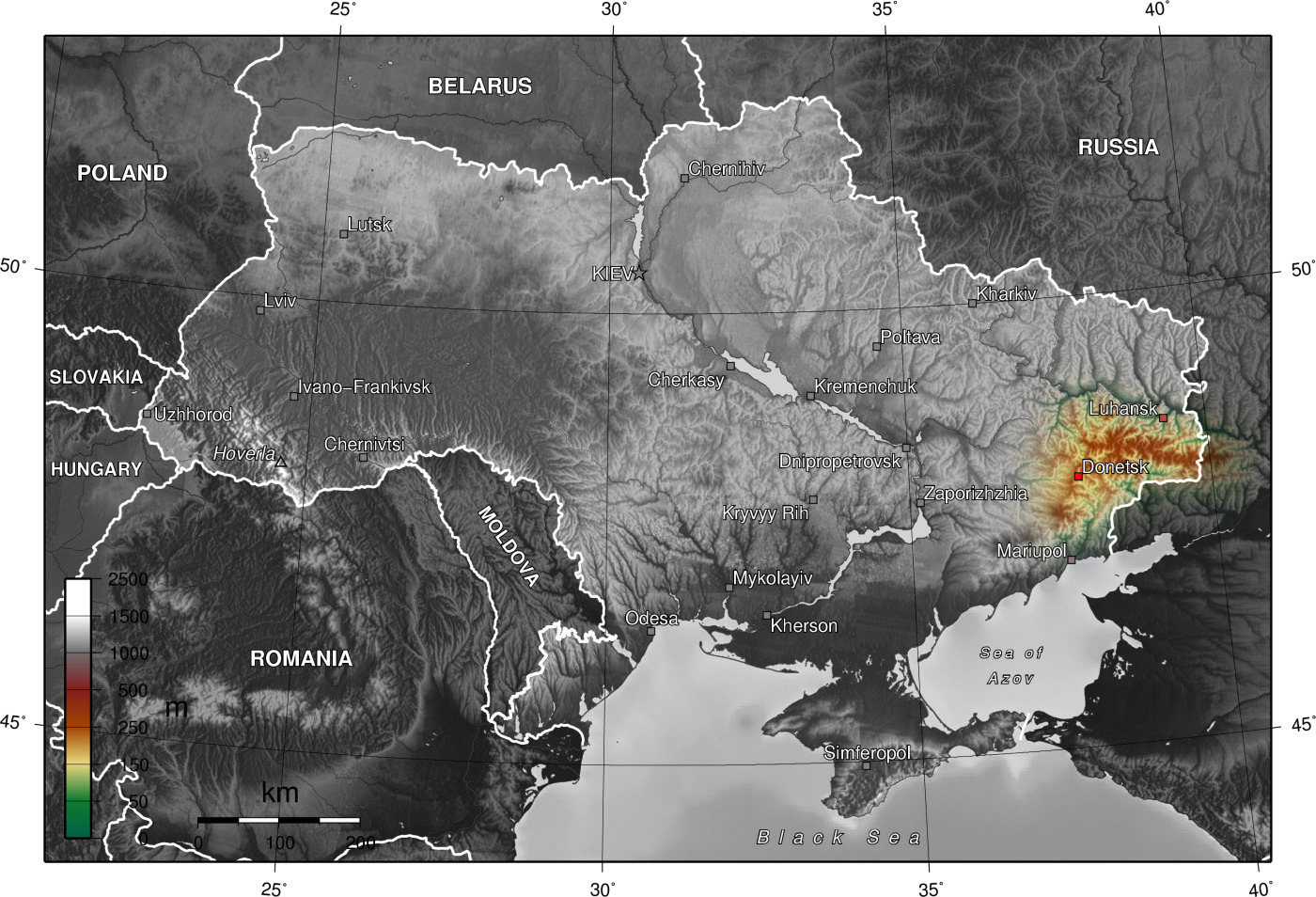
 The Donets Ridge is a highland that is the highest northeastern part of the Donets upland. The ridge is located within the
Donets Ridge
at the
 The Donets Ridge is a highland that is the highest northeastern part of the Donets upland. The ridge is located within the
 Donetsk
Donetsk ( , ; uk, Донецьк, translit=Donets'k ; russian: Донецк ), formerly known as Aleksandrovka, Yuzivka (or Hughesovka), Stalin and Stalino (see also: Names of European cities in different languages (C–D), cities' alternat ...
and Luhansk Oblast
Luhansk Oblast ( uk, Луга́нська о́бласть, translit=Luhanska oblast; russian: Луганская область, translit=Luganskaya oblast; also referred to as Luhanshchyna, uk, Луга́нщина) is the easternmost oblast ...
s and is partially in the Rostov Oblast
Rostov Oblast ( rus, Росто́вская о́бласть, r=Rostovskaya oblast, p=rɐˈstofskəjə ˈobləsʲtʲ) is a federal subject of Russia (an oblast), located in the Southern Federal District. The oblast has an area of and a populati ...
(Russia). The highest point on the ridge is a hill — Mohyla Mechetna, .
Another hill, Savur-Mohyla
Savur-Mohyla ( uk, Савур-могила), often transliterated using the Russian spelling Saur-Mogila (russian: Саур-Могила), is a strategic height in the Donets ridge near the city of Snizhne, in occupied Ukraine.
The tall hill is ...
(), was a notable site in the War in Donbass
War is an intense armed conflict between states, governments, societies, or paramilitary groups such as mercenaries, insurgents, and militias. It is generally characterized by extreme violence, destruction, and mortality, using regular ...
.
Name
The name derives from the river Seversky (Siversky) Donets.References
External links
Donets Ridge
at the
Great Soviet Encyclopedia
The ''Great Soviet Encyclopedia'' (GSE; ) is one of the largest Russian-language encyclopedias, published in the Soviet Union from 1926 to 1990. After 2002, the encyclopedia's data was partially included into the later ''Bolshaya rossiyskaya e ...
Plateaus of Ukraine
Donbas
Geography of Donetsk Oblast
Geography of Luhansk Oblast
Landforms of Rostov Oblast
Plateaus of Russia
{{Russia-geo-stub