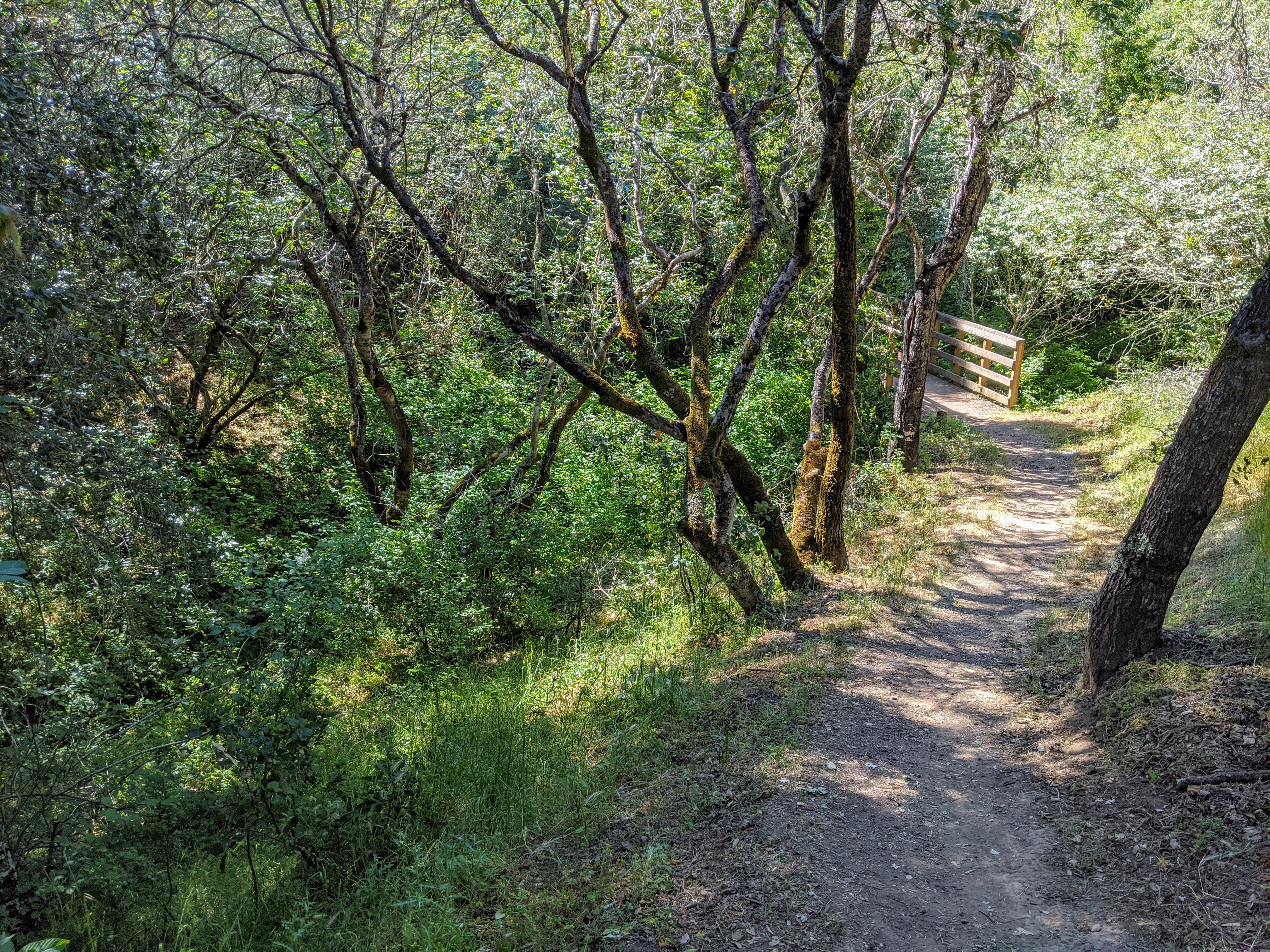
Deer Creek (Santa Clara County, California) on:
[Wikipedia]
[Google]
[Amazon]
Deer Creek is a small 


stream
A stream is a continuous body of water, body of surface water Current (stream), flowing within the stream bed, bed and bank (geography), banks of a channel (geography), channel. Depending on its location or certain characteristics, a stream ...
, a right tributary of Matadero Creek
Matadero Creek is a stream originating in the foothills of the Santa Cruz Mountains in Santa Clara County, California, United States. The creek flows in a northeasterly direction for until it enters the Palo Alto Flood Basin, where it joins Ado ...
, originating in the foothills of the Santa Cruz Mountains
The Santa Cruz Mountains, part of the Pacific Coast Ranges, are a mountain range in central and Northern California, United States. They form a ridge down the San Francisco Peninsula, south of San Francisco. They separate the Pacific Ocean from ...
in Santa Clara County, California
Santa Clara County, officially the County of Santa Clara, is the sixth-most populous county in the U.S. state of California, with a population of 1,936,259, as of the 2020 United States Census, 2020 census. Santa Clara County and neighboring Sa ...
, United States. From its source in Los Altos Hills
Los Altos Hills (; ''Los Altos'', Spanish language, Spanish for "The Heights") is an List of municipalities in California, incorporated town in Santa Clara County, California, Santa Clara County, California, United States. The population was 8,4 ...
, the creek flows in a northerly direction for to join Matadero Creek in Palo Alto
Palo Alto (; Spanish for "tall stick") is a charter city in the northwestern corner of Santa Clara County, California, United States, in the San Francisco Bay Area, named after a coastal redwood tree known as El Palo Alto.
The city was estab ...
.
Deer Creek begins at elevation 680 feet just north of Altamount Road and west of Taafe Road in Los Altos Hills, then flows northerly passing under Interstate 280 at the La Barranca Road underpass, where it turns west and parallels Purissima Road, crosses Arastradero Road and Deer Creek Road, before joining the Matadero Creek mainstem just south of Foothill Expressway
There are 21 routes assigned to the "G" zone of the California Route Marker Program, which designates county routes in California. The "G" zone includes county highways in Monterey County, California, Monterey, San Benito County, California, San ...
and east of Page Mill Road. Deer Creek has also been labelled as Purisima Creek on some maps. – The 1961–1969 USGS topo maps label Deer Creek as ''Purisima Creek'', but the 1976 map corrects this; the next creek to the southeast is Purisima Creek, a tributary of Adobe Creek.


References
{{Santa Cruz Mountains Rivers of Santa Clara County, California Tributaries of Matadero Creek