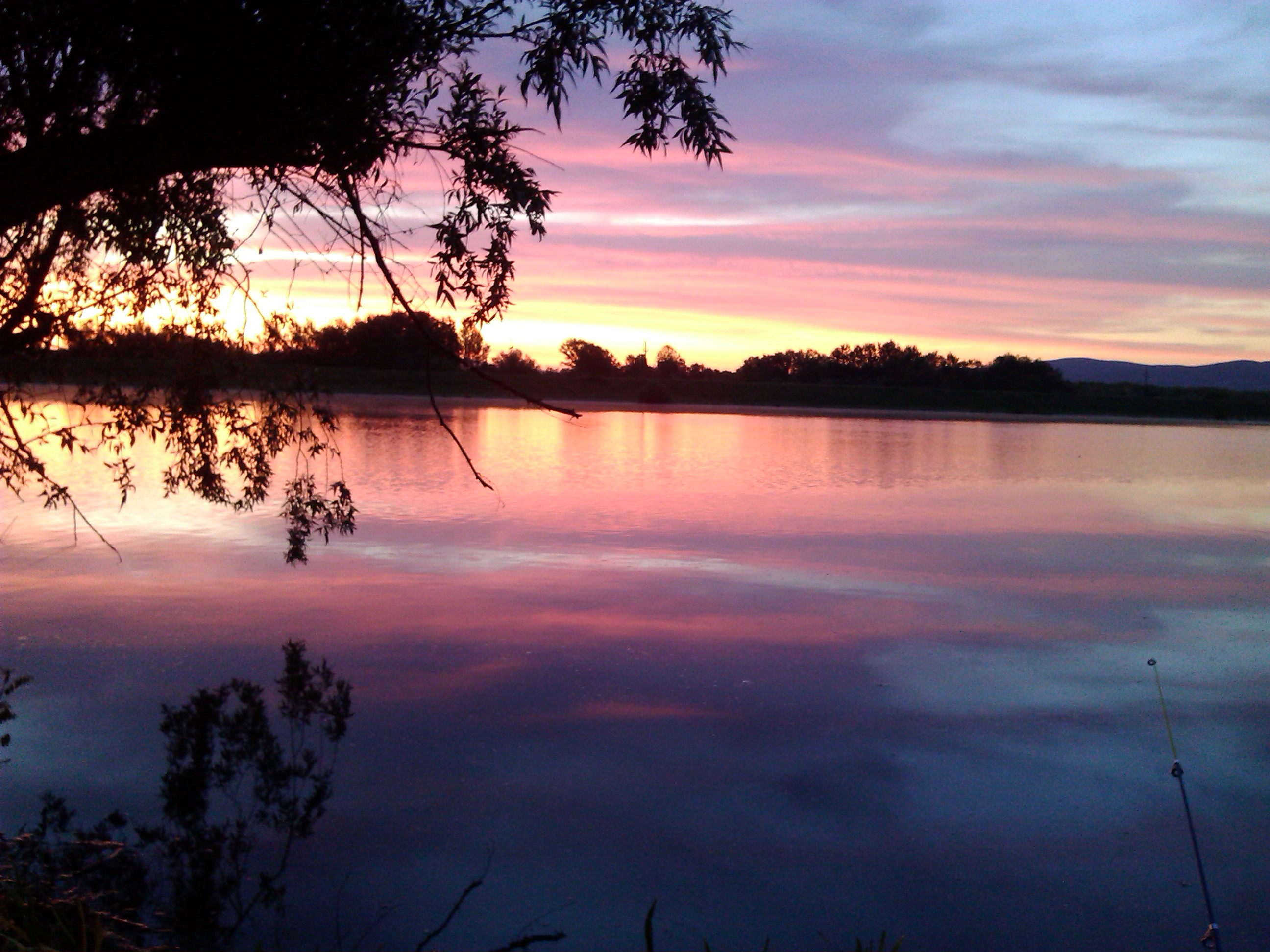
Danube–Tisa–Danube Canal on:
[Wikipedia]
[Google]
[Amazon]


Interactive map of Danube, Sava and Tisa rivers
– includes DTD canal (Archived on the Wayback Machine)(Requires Adobe Flash) {{DEFAULTSORT:Danube-Tisa-Danube Canals in Serbia Water transport in Serbia Transport in Vojvodina Geography of Vojvodina CDanube–Tisa–Danube Canal CDanube–Tisa–Danube Canal Bačka

Danube
The Danube ( ; see also #Names and etymology, other names) is the List of rivers of Europe#Longest rivers, second-longest river in Europe, after the Volga in Russia. It flows through Central and Southeastern Europe, from the Black Forest sou ...
–Tisa
The Tisza, Tysa or Tisa (see below) is one of the major rivers of Central and Eastern Europe. It was once called "the most Hungarian river" because it used to flow entirely within the Kingdom of Hungary. Today, it crosses several national bo ...
–Danube Canal (DTD) () is a canal system in Serbia
, image_flag = Flag of Serbia.svg
, national_motto =
, image_coat = Coat of arms of Serbia.svg
, national_anthem = ()
, image_map =
, map_caption = Location of Serbia (gree ...
. It is a unique hydro-engineering system for flood control and hydrotechnical management, amelioration, forestry, water supply, waste water evacuation, navigation, tourism, fishing, hunting.
Name
It was named after the two large rivers which it connects – the Danube and the Tisa. There are several other names used for the canal in other languages: ; , etc.Geography
It covers the northern part ofSerbia
, image_flag = Flag of Serbia.svg
, national_motto =
, image_coat = Coat of arms of Serbia.svg
, national_anthem = ()
, image_map =
, map_caption = Location of Serbia (gree ...
– the territory of Vojvodina
Vojvodina ( ; sr-Cyrl, Војводина, ), officially the Autonomous Province of Vojvodina, is an Autonomous administrative division, autonomous province that occupies the northernmost part of Serbia, located in Central Europe. It lies withi ...
(Bačka
Bačka ( sr-Cyrl, Бачка, ) or Bácska (), is a geographical and historical area within the Pannonian Plain bordered by the river Danube to the west and south, and by the river Tisza to the east. It is divided between Serbia and Hungary. ...
and Banat
Banat ( , ; ; ; ) is a geographical and Historical regions of Central Europe, historical region located in the Pannonian Basin that straddles Central Europe, Central and Eastern Europe. It is divided among three countries: the eastern part lie ...
regions), with the total area of about 12,700 km2. It consists of a number of canals, including:
* Great Bačka Canal
* Little Bačka Canal
Characteristics
The total length of the dug main canals is 929 km, including new and old canals and streams which were completely or partially reconstructed and thus included in the new system. In the basic canal network there are 51 structures – 24 gates, 16 locks, five safety gates, sixpumping stations
Pumping stations, also called pumphouses, are public utility buildings containing pumps and equipment for pumping fluids from one place to another. They are critical in a variety of infrastructure systems, such as water supply, Land reclamation, ...
, and 180 bridges. There are 14 cargo ports on the canals. On the new canals of the Danube-Tisa-Danube water system, 84 bridges were built – 62 carriageway, 19 railway and 3 pedestrian bridges. One of the most important structures within this water system is the dam on the river Tisa near Novi Bečej
Novi Bečej (, ) is a town and municipality located in the Central Banat District of the autonomous province of Vojvodina, Serbia. The town has a population of 10,967, while Novi Bečej municipality has 19,886 inhabitants (2022 census).
Name ...
which regulates the water regime in the basic canal network in Banat, for irrigation of about 3,000 km2.
History
Historically the channel is called ''Franz Channel'', after emperor Franz II. He was the Emperor of Austria as its construction started in the time whenHungary
Hungary is a landlocked country in Central Europe. Spanning much of the Pannonian Basin, Carpathian Basin, it is bordered by Slovakia to the north, Ukraine to the northeast, Romania to the east and southeast, Serbia to the south, Croatia and ...
was part of the Habsburg monarchy
The Habsburg monarchy, also known as Habsburg Empire, or Habsburg Realm (), was the collection of empires, kingdoms, duchies, counties and other polities (composite monarchy) that were ruled by the House of Habsburg. From the 18th century it is ...
. Even the emperor visited the construction site. The smaller channel that starts from Stapar and goes to Novi Bečej
Novi Bečej (, ) is a town and municipality located in the Central Banat District of the autonomous province of Vojvodina, Serbia. The town has a population of 10,967, while Novi Bečej municipality has 19,886 inhabitants (2022 census).
Name ...
was called ''Franz Joseph Channel''.
The dam is based on the plans of Albert Hainz, who was the technical director of the channel. The dam was constructed between 1895 and 1899. István Türr participated in the compilation and implementation of the plans. The dam locks are powered by electricity. The electrical power required for operation is provided by the lock-built hydroelectric power generator. According to the official records, delegations arrived from as far as Japan for the inauguration ceremony. At the time of its construction, it was one of the most sophisticated dam-locks in the world.
External links
Interactive map of Danube, Sava and Tisa rivers
– includes DTD canal (Archived on the Wayback Machine)(Requires Adobe Flash) {{DEFAULTSORT:Danube-Tisa-Danube Canals in Serbia Water transport in Serbia Transport in Vojvodina Geography of Vojvodina CDanube–Tisa–Danube Canal CDanube–Tisa–Danube Canal Bačka