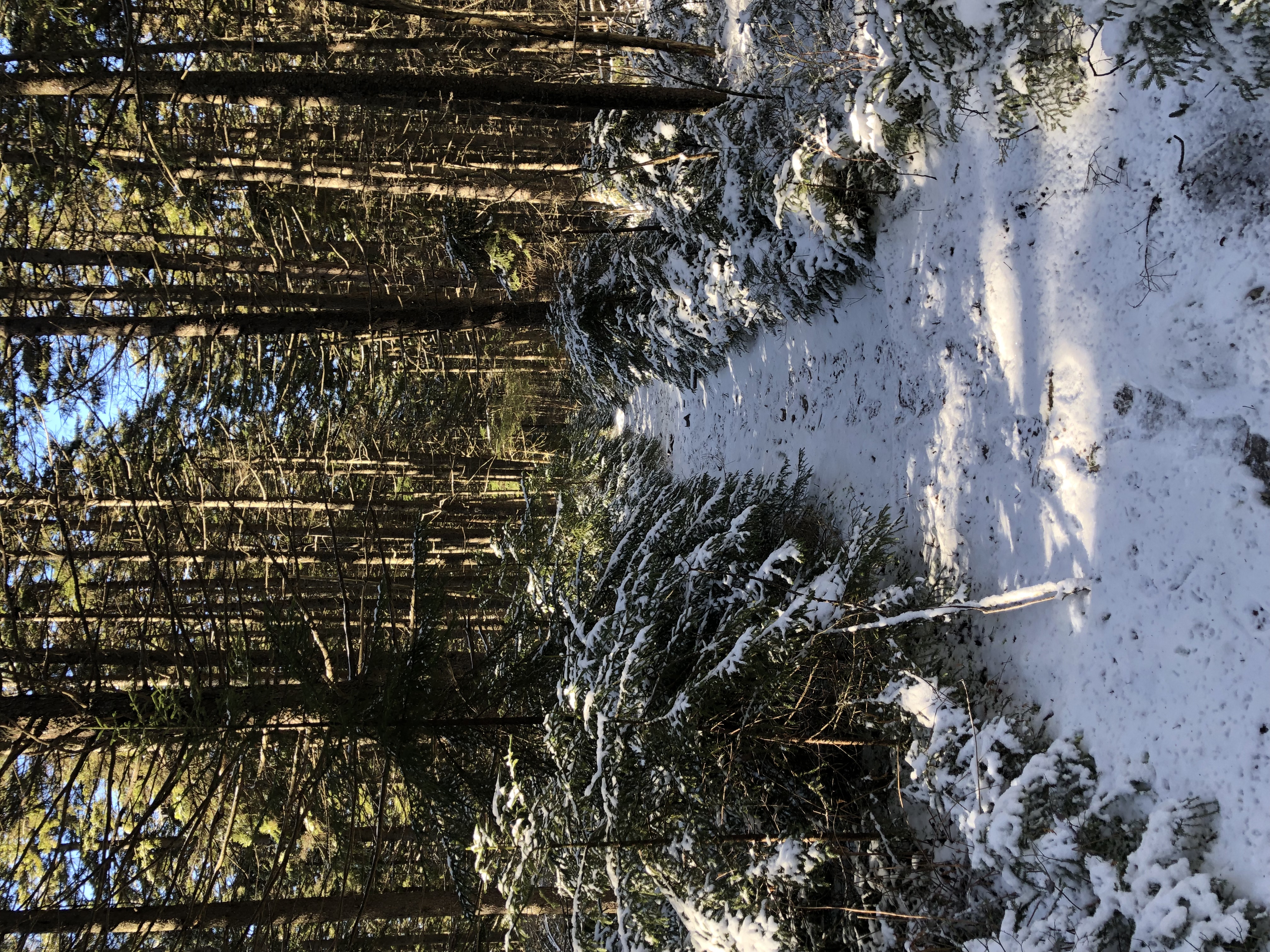
Cranberry Backcountry on:
[Wikipedia]
[Google]
[Amazon]
The Cranberry Wilderness is a

Cranberry Wilderness map
Wilderness.net
– GORP
TopoQuest topographic mapWest Virginia Wilderness Coalition
{{Protected areas of West Virginia IUCN Category Ib Monongahela National Forest Protected areas of Pocahontas County, West Virginia Protected areas of Webster County, West Virginia Wilderness areas of West Virginia Protected areas established in 1983 1983 establishments in West Virginia
U.S. wilderness area
The National Wilderness Preservation System (NWPS) of the United States protects federally managed wilderness areas designated for preservation in their natural condition. Activity on formally designated wilderness areas is coordinated by the Na ...
in the Monongahela National Forest of southeast West Virginia
West Virginia is a state in the Appalachian, Mid-Atlantic and Southeastern regions of the United States.The Census Bureau and the Association of American Geographers classify West Virginia as part of the Southern United States while the Bur ...
, United States. Its name derives from the nearby Cranberry Glades
Cranberry Glades — also known simply as The Glades — are a cluster of five small, boreal-type bogs in southwestern Pocahontas County, West Virginia, United States. This area, high in the Allegheny Mountains at about , is protected as the ...
as well as from the Cranberry River and Cranberry Mountain. In addition to being wilderness, it is a designated black bear sanctuary.
Geography
The Cranberry Wilderness is located mostly in Pocahontas County, with a small portion in Webster County. The wilderness is drained by the Williams River and the Cranberry River, both of which are tributaries of the Gauley River, which in turn unites with the New River to form the Kanawha, a tributary of theOhio
Ohio () is a state in the Midwestern region of the United States. Of the fifty U.S. states, it is the 34th-largest by area, and with a population of nearly 11.8 million, is the seventh-most populous and tenth-most densely populated. The sta ...
. The area just to the east of the Cranberry Wilderness is drained by tributaries of the Greenbrier River
The Greenbrier River is a tributary of the New River, long,McNeel, William P. "Greenbrier River." ''The West Virginia Encyclopedia''. Ken Sullivan, editor. Charleston, WV: West Virginia Humanities Council. 2006. . in southeastern West Virginia ...
which flows into the New.
The wilderness is located in the Yew Mountains The Yew Mountains are a mountain ridge in Southern West Virginia that locally forms the boundary between the Allegheny Plateau to the northwest and the Ridge-and-Valley Appalachians to the southeast. It is part of the Allegheny Mountains, and cont ...
, which are part of the Allegheny Mountains
The Allegheny Mountain Range (; also spelled Alleghany or Allegany), informally the Alleghenies, is part of the vast Appalachian Mountain Range of the Eastern United States and Canada and posed a significant barrier to land travel in less devel ...
. The highest point in the wilderness is along Black Mountain at , although there is a slightly higher point at just outside the wilderness. The lowest elevation in the wilderness is at along the Williams River at Three Forks of Williams River, where it exits the wilderness.
History
Wilderness designation
Counterculture events
The nationalRainbow Gathering
Rainbow Gatherings are temporary, loosely knit communities of people, who congregate in remote forests around the world for one or more weeks at a time with the stated intention of living a shared ideology of peace, harmony, freedom, and respect. ...
has been held twice at the Cranberry Wilderness — in 1980 and in 2005.
2009 addition
TheOmnibus Public Land Management Act of 2009
The Omnibus Public Land Management Act of 2009 (, ) is a land management law passed in the 111th United States Congress and signed into law by President Barack Obama on March 30, 2009. The bill designates millions of acres in the US as protected a ...
added of adjacent land to the Cranberry Wilderness. This area, which was previously known as the Cranberry Backcountry, is located between the Williams River and the Cranberry River. It protects several tributaries of both the Williams and Cranberry Rivers which are popular trout streams. The area already has an excellent trail system connected to the original wilderness.
Hiking trails
* Big Beechy Trail – 6.5 miles (10.5 kilometers) * Birch Log Trail – 3.0 miles (4.8 kilometers) * Black Mountain Trail – 2.0 miles (3.2 kilometers) * County Line Trail – 9.5 miles (15.3 kilometers) * District Line Trail – 3.0 miles (4.8 kilometers) * Forks of the Cranberry Trail – 6.0 miles (9.7 kilometers) * North South Trail – 14.0 miles (22.5 kilometers) * Forks By-Pass Trail – 2.0 miles (3.2 kilometers) * Middle Fork Trail – 9.0 miles (14.5 kilometers) * North Fork Trail – 7.5 miles (12.1 kilometers) * Laurelly Branch Trail – 3.5 miles (5.6 kilometers) * Tumbling Rock Trail – 2.5 miles (4.0 kilometers) * Little Fork Trail – 3.5 miles (5.6 kilometers) * Lick Branch Trail – 2.1 miles (3.4 kilometers) * Rough Run Trail – 3.0 miles (4.8 kilometers)
See also
*List of U.S. Wilderness Areas
The National Wilderness Preservation System includes 803 wilderness areas protecting of federal land . They are managed by four agencies:
*United States National Park Service (NPS)
*United States Forest Service (USFS)
*United States Fish and Wild ...
* Wilderness Act
References
External links
Cranberry Wilderness map
Wilderness.net
– GORP
TopoQuest topographic map
{{Protected areas of West Virginia IUCN Category Ib Monongahela National Forest Protected areas of Pocahontas County, West Virginia Protected areas of Webster County, West Virginia Wilderness areas of West Virginia Protected areas established in 1983 1983 establishments in West Virginia