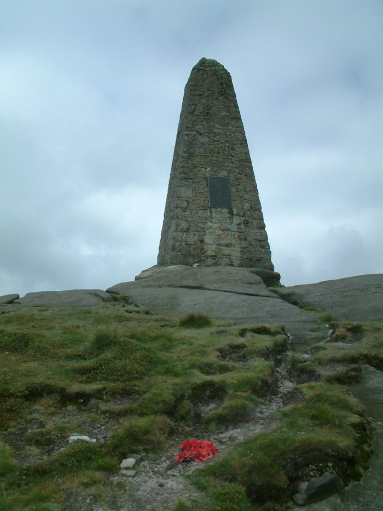
Cracoe Fell on:
[Wikipedia]
[Google]
[Amazon]
Thorpe Fell Top is the top of the hill of Burnsall and Thorpe Fell in the  The summit of this grouse
Yorkshire Dales
The Yorkshire Dales is an upland area of the Pennines in the Historic counties of England, historic county of Yorkshire, England, most of it in the Yorkshire Dales National Park created in 1954.
The Dales comprise river valleys and the hills ri ...
, itself forming part of a larger wedge of ground between Wharfedale
Wharfedale ( ) is the valley of the upper parts of the River Wharfe and one of the Yorkshire Dales. It is situated within the districts of Craven and Harrogate in North Yorkshire, and the cities of Leeds and Bradford in West Yorkshire. It is ...
and Skipton
Skipton (also known as Skipton-in-Craven) is a market town and civil parish in the Craven district of North Yorkshire, England. Historically in the East Division of Staincliffe Wapentake in the West Riding of Yorkshire, it is on the River Air ...
.
 The summit of this grouse
 moor
Moor or Moors may refer to:
Nature and ecology
* Moorland, a habitat characterized by low-growing vegetation and acidic soils.
Ethnic and religious groups
* Moors, Muslim inhabitants of the Maghreb, Iberian Peninsula, Sicily, and Malta during ...
is 506 metres above sea level and topped with a trig point. It was listed in Alan Dawson's "The Relative Hills of Britain" as a Marilyn. However, a number of recent observations and measurements suggest that the base of the war memorial at the top of Cracoe Fell () some to the south-west, is probably higher, perhaps as high as 510 metres.
Thorpe Fell Top is probably most easily visited from either Thorpe or Burnsall
Burnsall is a village and civil parish in the Craven district of North Yorkshire, England. It is situated on the River Wharfe in Wharfedale, and is in the Yorkshire Dales National Park.
The village is approximately south-east from Grassington ...
. The track and path marked on Ordnance Survey
, nativename_a =
, nativename_r =
, logo = Ordnance Survey 2015 Logo.svg
, logo_width = 240px
, logo_caption =
, seal =
, seal_width =
, seal_caption =
, picture =
, picture_width =
, picture_caption =
, formed =
, preceding1 =
, di ...
maps to the north and west of the summit continues all the way to the top of Cracoe Fell. The latter can also be reached along Fell Lane from the village of Cracoe
Cracoe is a small village and civil parish in the Craven district of North Yorkshire, England. It is situated near to Rylstone and about 6 miles south-west of Grassington. Cracoe has an estimated population of 160 residents, measured at 1 ...
.
References
{{Marilyns N Eng Marilyns of England Peaks of the Yorkshire Dales Wharfedale