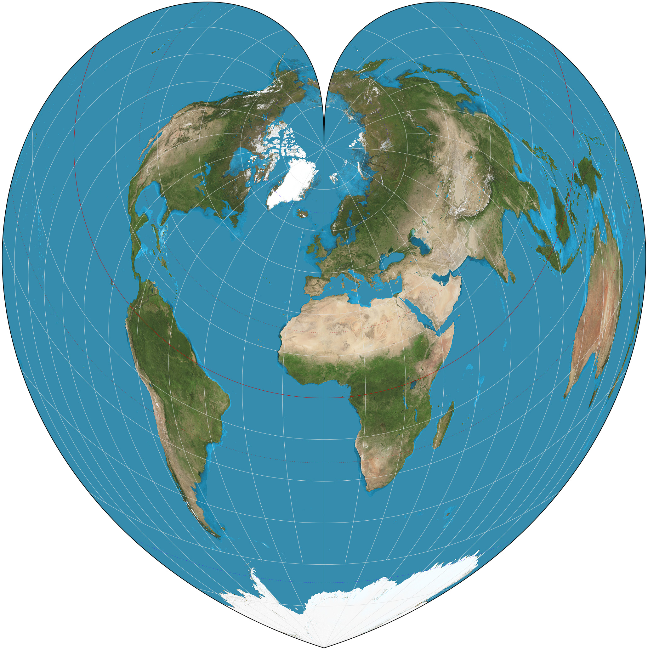
Cordiform Projection on:
[Wikipedia]
[Google]
[Amazon]

 The Werner projection is a

 The Werner projection is a
 pseudoconic
In cartography, map projection is the term used to describe a broad set of transformations employed to represent the two-dimensional curved surface of a globe on a plane. In a map projection, coordinates, often expressed as latitude and longitud ...
equal-area map projection sometimes called the Stab-Werner or Stabius-Werner projection. Like other heart-shaped projections, it is also categorized as cordiform. ''Stab-Werner'' refers to two originators: Johannes Werner (1466–1528), a parish priest in Nuremberg, refined and promoted this projection that had been developed earlier by Johannes Stabius (Stab) of Vienna around 1500.
The projection is a limiting form of the Bonne projection, having its standard parallel at one of the poles (90°N/S).. Distances along each parallel and along the central meridian are correct, as are all distances from the north pole.
See also
*List of map projections
This is a summary of map projections that have articles of their own on Wikipedia or that are otherwise notable
Notability is the property
of being worthy of notice, having fame, or being considered to be of a high degree of interest, signif ...
References
External links
* *. {{Map Projections Map projections Equal-area projections