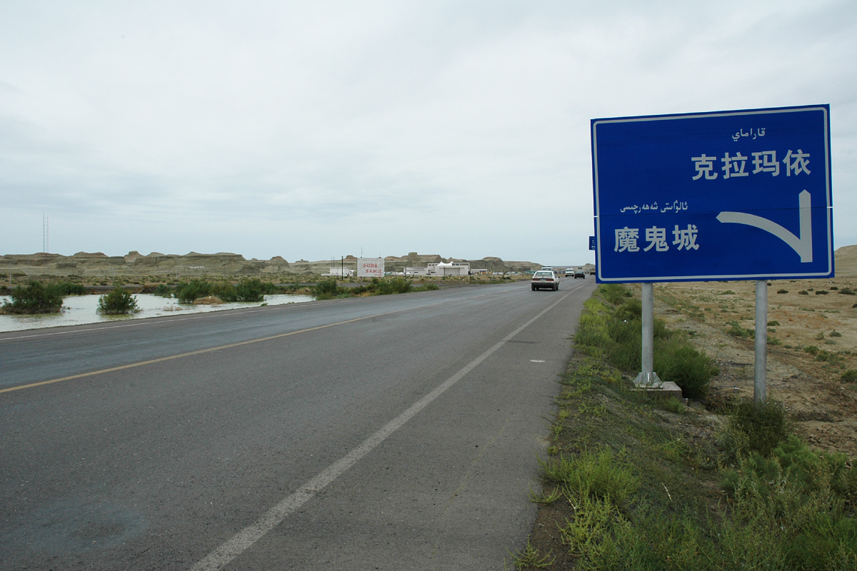
China National Highway 217 on:
[Wikipedia]
[Google]
[Amazon]

 China National Highway 217 (G217) runs south from Altay,
Official website of Ministry of Transport of PRC

 China National Highway 217 (G217) runs south from Altay,
 Xinjiang
Xinjiang, SASM/GNC: ''Xinjang''; zh, c=, p=Xīnjiāng; formerly romanized as Sinkiang (, ), officially the Xinjiang Uygur Autonomous Region (XUAR), is an autonomous region of the People's Republic of China (PRC), located in the northwest ...
to Hotan
Hotan (also known as Gosthana, Gaustana, Godana, Godaniya, Khotan, Hetian, Hotien) is a major oasis town in southwestern Xinjiang, an autonomous region in Western China. The city proper of Hotan broke off from the larger Hotan County to become ...
, Xinjiang
Xinjiang, SASM/GNC: ''Xinjang''; zh, c=, p=Xīnjiāng; formerly romanized as Sinkiang (, ), officially the Xinjiang Uygur Autonomous Region (XUAR), is an autonomous region of the People's Republic of China (PRC), located in the northwest ...
. It is 1,753 kilometres in length and runs southwest from Altay towards Kuqa County
Kuqa is a county-level city in Aksu Prefecture, Xinjiang Uyghur Autonomous Region, China. Other names and variants of spelling of Kuqa are Kocha, Kuchu, Kuchar, Kuchi, Kuchel, K'u-ch'e-chen, K'u-ch'e-hsien, Kuga, Kucha and K'u-ch'e. It was once th ...
and from there southwards through the Taklamakan Desert
The Taklimakan or Taklamakan Desert (; zh, s=塔克拉玛干沙漠, p=Tǎkèlāmǎgān Shāmò, Xiao'erjing: , dng, Такәламаган Шамә; ug, تەكلىماكان قۇملۇقى, Täklimakan qumluqi; also spelled Taklimakan and Te ...
to Hotan
Hotan (also known as Gosthana, Gaustana, Godana, Godaniya, Khotan, Hetian, Hotien) is a major oasis town in southwestern Xinjiang, an autonomous region in Western China. The city proper of Hotan broke off from the larger Hotan County to become ...
.
The section between Dushanzi and Kuqa crosses the Tianshan Mountains
The Tian Shan,, , otk, 𐰴𐰣 𐱅𐰭𐰼𐰃, , tr, Tanrı Dağı, mn, Тэнгэр уул, , ug, تەڭرىتاغ, , , kk, Тәңіртауы / Алатау, , , ky, Теңир-Тоо / Ала-Тоо, , , uz, Tyan-Shan / Tangritog‘ ...
and is commonly known as Duku Highway (独库公路).
Route and distance
Mountain Passes
From North to South: * Haxilegen Pass, bypassed by tunnel. 3450 meters above the sea level. * Yuximole Pass, bypassed by tunnel. 3438 meters above the sea level. * Laerdun Pass. 2730 meters above the sea level. * Tielimaiti Pass. bypassed by tunnel. 3335 meters above the sea level.See also
*China National Highways
The China National Highways (CNH/Guodao) () is a network of trunk roads across mainland China. Apart from the expressways of China that are planned and constructed later, most of the CNH are not controlled-access highways.
History
The bui ...
External links
Official website of Ministry of Transport of PRC
217
Year 217 (Roman numerals, CCXVII) was a common year starting on Wednesday (link will display the full calendar) of the Julian calendar. At the time, it was known as the Year of the Consulship of Praesens and Extricatus (or, less frequently, yea ...
Transport in Xinjiang
{{PRChina-road-stub