Brignall on:
[Wikipedia]
[Google]
[Amazon]
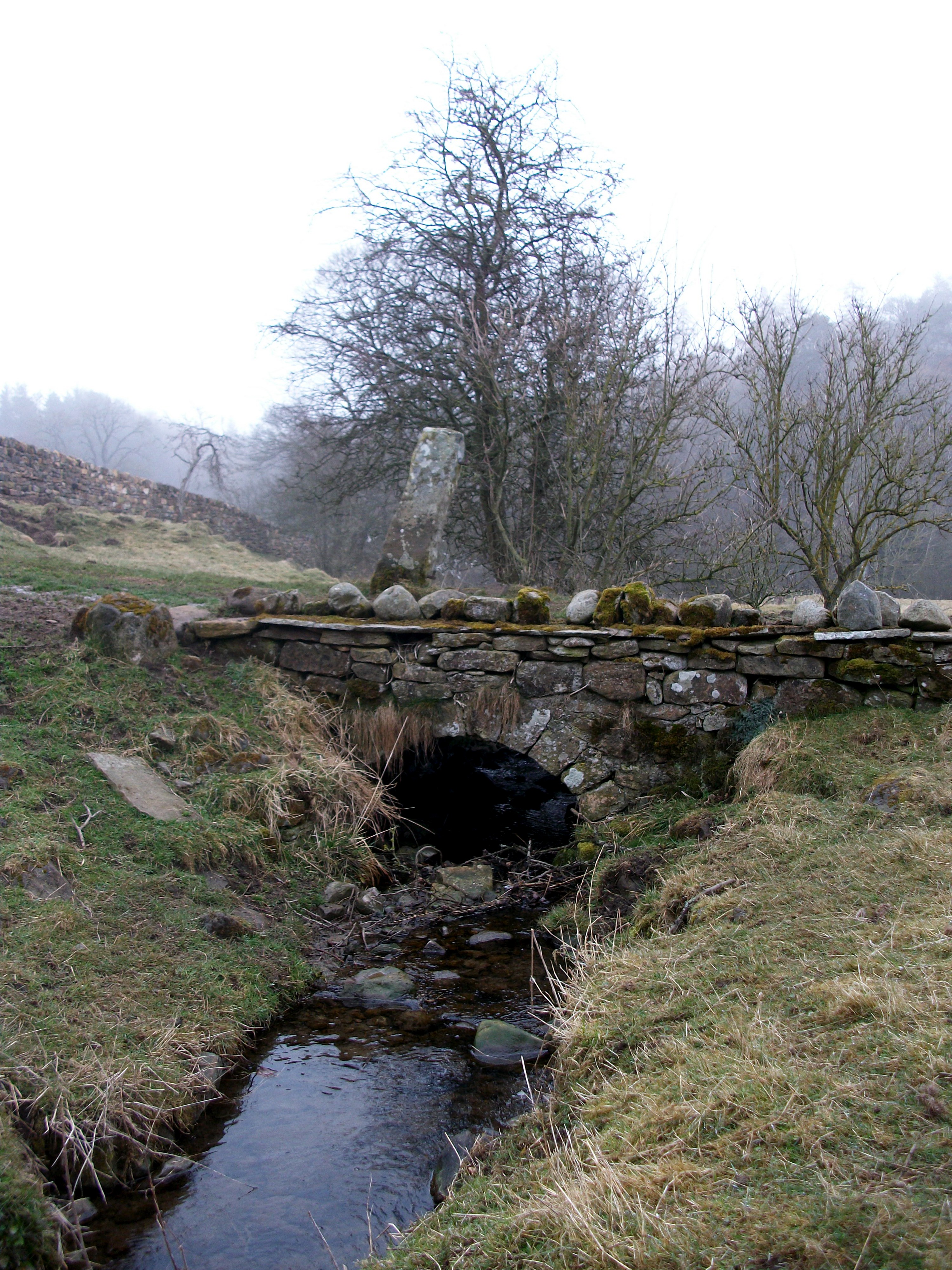
Brignall village is located in an elevated position adjacent to the River Greta,
about 2 km upstream from
 * . . . nook of land
* Bridge by the nook of land between the stream and the river.
Brignall : ''Brig..en..hale'' (12th-13th cent.), ''Brick..n..all'' (surname);
The name element ''Brig'' is from
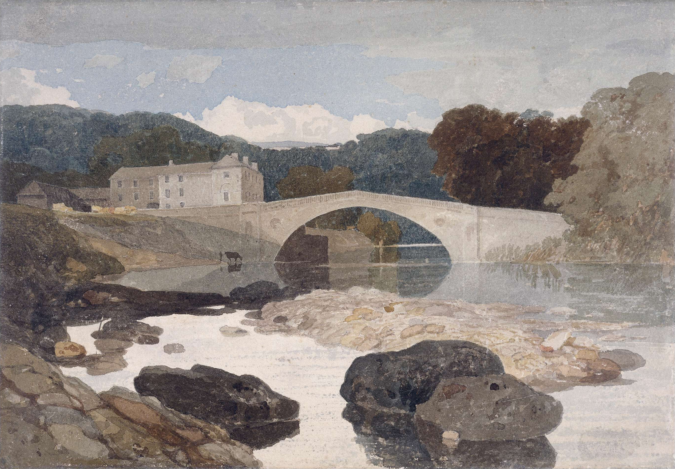
 The River Greta and the Brignall area were painted by
 Yorkshire, Brignall Church, after Turner, 1855
Steve Bartrick Antique Prints and Maps. Retrieved 10 March 2008. amongst others. Bird watching,
Greta Bridge
Greta Bridge is a village on the River Greta in County Durham, England.
Geography and administration
Greta Bridge lies in the Pennine hills near to Barnard Castle. The bridge (now bypassed by the A66 trunk road) is over the River Greta just ...
. The village is within the Teesdale district of south-west County Durham
County Durham ( ), officially simply Durham,UK General Acts 1997 c. 23Lieutenancies Act 1997 Schedule 1(3). From legislation.gov.uk, retrieved 6 April 2022. is a ceremonial county in North East England.North East Assembly �About North East E ...
, England
England is a country that is part of the United Kingdom. It shares land borders with Wales to its west and Scotland to its north. The Irish Sea lies northwest and the Celtic Sea to the southwest. It is separated from continental Europe b ...
,
the nearest town is the market town of Barnard Castle.
The village is best known for the scenic valley section of the River Greta known as Brignall Banks
Brignall Banks is a Site of Special Scientific Interest in the Teesdale district of south-west County Durham, England.
It consists of a narrow belt of woodland on the steep slopes of the valleys of the River Greta
and its tributary, Gill Beck ...
,
which is a Site of Special Scientific Interest
A Site of Special Scientific Interest (SSSI) in Great Britain or an Area of Special Scientific Interest (ASSI) in the Isle of Man and Northern Ireland is a conservation designation denoting a protected area in the United Kingdom and Isle of ...
.
Natural England maps
Maps for Brignall village and the surrounding area, showing ''Access'', ''Administrative Geographies'' and other criteria from Natural England: * MAGiC MaP : Brignall village. * MAGiC MaP : Brignall parish boundary. * MAGiC MaP : Brignall village – Listed buildings. * MAGiC MaP : Confluence of Brignall stream and River Greta. * MAGiC MaP : Brignall Banks SSSI. * MAGiC MaP : Brignall mill and ancient woodland. * MAGiC MaP : Greta Bridge and Roman fort. * MAGiC MaP : River Greta '' " Meeting of the waters " ''.Governance
The population at the 2011 Census remained less than 100. Details are kept within the parish of Rokeby. It washistorically
History (derived ) is the systematic study and the documentation of the human activity. The time period of event before the invention of writing systems is considered prehistory. "History" is an umbrella term comprising past events as well ...
located in the North Riding of Yorkshire
The North Riding of Yorkshire is a subdivision of Yorkshire, England, alongside York, the East Riding and West Riding. The riding's highest point is at Mickle Fell with 2,585 ft (788 metres).
From the Restoration it was used as ...
but along with the rest of the former Startforth Rural District
Startforth Rural District was a rural district in the North Riding of the historic county of Yorkshire in the Pennines of northern England.
It was formed in 1894 under the Local Government Act 1894. It constituted the part of the Teesdale Rur ...
it was transferred to County Durham
County Durham ( ), officially simply Durham,UK General Acts 1997 c. 23Lieutenancies Act 1997 Schedule 1(3). From legislation.gov.uk, retrieved 6 April 2022. is a ceremonial county in North East England.North East Assembly �About North East E ...
for administrative
Administration may refer to:
Management of organizations
* Management, the act of directing people towards accomplishing a goal
** Administrative Assistant, traditionally known as a Secretary, or also known as an administrative officer, administ ...
and ceremonial purposes on 1 April 1974, under the provisions of the Local Government Act 1972
The Local Government Act 1972 (c. 70) is an Act of the Parliament of the United Kingdom that reformed local government in England and Wales on 1 April 1974. It was one of the most significant Acts of Parliament to be passed by the Heath Gov ...
.
Name
Name history
The name was recorded as ''Bringhenale'' in theDomesday Book
Domesday Book () – the Middle English spelling of "Doomsday Book" – is a manuscript record of the "Great Survey" of much of England and parts of Wales completed in 1086 by order of King William I, known as William the Conqueror. The manusc ...
of 1086 A.D.
British History Online:
* Bringhenale, Bringhale (11th cent.)
* Brigenhall, Brigenhale (12th–13th cent.)
English surnames
'' Thomas de Briggenhale '' appeared in the Poll Tax rolls for the County of Yorkshire in 1379. * The following English surnames might be derived from the place name: * Brignall * Brignell * Bricknall * BricknellToponym
 * . . . nook of land
* Bridge by the nook of land between the stream and the river.
Brignall : ''Brig..en..hale'' (12th-13th cent.), ''Brick..n..all'' (surname);
The name element ''Brig'' is from
 Medieval English
Middle English (abbreviated to ME) is a form of the English language that was spoken after the Norman conquest of 1066, until the late 15th century. The English language underwent distinct variations and developments following the Old English p ...
''brig'' ( " bridge " ).
The name element ''Brick'' is from Old English
Old English (, ), or Anglo-Saxon, is the earliest recorded form of the English language, spoken in England and southern and eastern Scotland in the early Middle Ages. It was brought to Great Britain by Anglo-Saxon settlement of Britain, Anglo ...
''brycg'' ( " bridge " ).
The name element '' ' en ' '' is a common abbreviation of Medieval English
Middle English (abbreviated to ME) is a form of the English language that was spoken after the Norman conquest of 1066, until the late 15th century. The English language underwent distinct variations and developments following the Old English p ...
''atten'' ( " at the, by the " ).
The name element ''hale'' is from Old English
Old English (, ), or Anglo-Saxon, is the earliest recorded form of the English language, spoken in England and southern and eastern Scotland in the early Middle Ages. It was brought to Great Britain by Anglo-Saxon settlement of Britain, Anglo ...
''healh'' ( " corner, nook, secret place, corner of land left by the stream in a river valley " ).
Name examples
Examples of place names that might have a similaretymology
Etymology ()The New Oxford Dictionary of English (1998) – p. 633 "Etymology /ˌɛtɪˈmɒlədʒi/ the study of the class in words and the way their meanings have changed throughout time". is the study of the history of the Phonological chan ...
:
* Healaugh near Reeth, Swaledale : " Summer pasture by the nook of land between the ''Barney Beck'' and the ''River Swale'' ".
* Pecknell near Barnard Castle, Teesdale : " . . .nook of land between the ''Scur Beck'' and the ''River Tees'' ".
* Bracknell
Bracknell () is a large town and civil parish in Berkshire, England, the westernmost area within the Greater London Built-up Area, Greater London Urban Area and the administrative centre of the Bracknell Forest, Borough of Bracknell Forest. It l ...
, Berkshire
Berkshire ( ; in the 17th century sometimes spelt phonetically as Barkeshire; abbreviated Berks.) is a historic county in South East England. One of the home counties, Berkshire was recognised by Queen Elizabeth II as the Royal County of Berk ...
: '' Braccan heal ''(942 A.D.) , '' Brakenhale ( Brak..en..hale ) ''
History
Domesday book
The village was recorded in theDomesday Book
Domesday Book () – the Middle English spelling of "Doomsday Book" – is a manuscript record of the "Great Survey" of much of England and parts of Wales completed in 1086 by order of King William I, known as William the Conqueror. The manusc ...
(1086 A.D.) as a settlement in the
hundred of land of Count Alan
in the county of Yorkshire
Yorkshire ( ; abbreviated Yorks), formally known as the County of York, is a Historic counties of England, historic county in northern England and by far the largest in the United Kingdom. Because of its large area in comparison with other Eng ...
.
*
* Households: 16 villagers. 3 freemen. 6 smallholders. 1 men
* Ploughland: 152.5 ploughlands. 6 lord's plough teams. 12.5 men's plough teams.
* Other resources: Meadow 12 acres. Woodland 1 * 1 leagues. 1 fishery. 2 churches.
The list of villages recorded in the local area were described as partially '' "waste" '',
possibly due to The Harrying of the North (1069–1070).
Art and culture
 The River Greta and the Brignall area were painted by
 John Sell Cotman
John Sell Cotman (16 May 1782 – 24 July 1842) was an English marine and landscape painter, etcher, illustrator, author and a leading member of the Norwich School of painters.
Born in Norwich, the son of a silk merchant and lace dealer, Cot ...
and J. M. W. Turner
Joseph Mallord William Turner (23 April 177519 December 1851), known in his time as William Turner, was an English Romantic painter, printmaker and watercolourist. He is known for his expressive colouring, imaginative landscapes and turbulen ...
Steve Bartrick Antique Prints and Maps. Retrieved 10 March 2008. amongst others. Bird watching,
walking
Walking (also known as ambulation) is one of the main gaits of terrestrial locomotion among legged animals. Walking is typically slower than running and other gaits. Walking is defined by an 'inverted pendulum' gait in which the body vaults o ...
and other outdoor activities can be pursued in the area.
The area features in Sir Walter Scott’s 1813 poem ‘Rokeby’:
”Oh Brignal banks are wild and fair/ and Greta woods are green”.
References
Notes
Citations
Sources
;Books * * ;Downloads *External links
{{Authority control Villages in County Durham