Branisko (mountain range) on:
[Wikipedia]
[Google]
[Amazon]
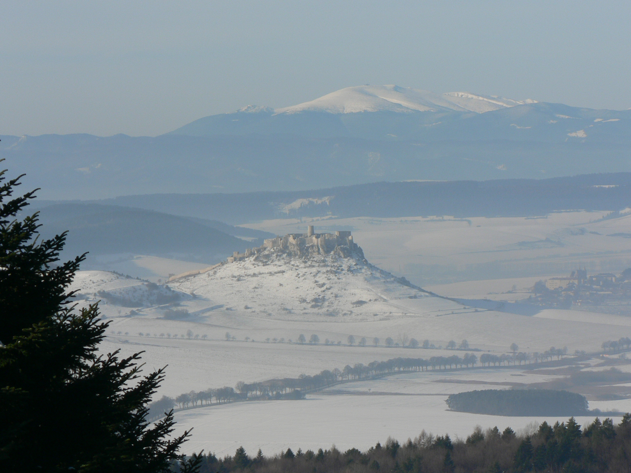
 Branisko (or Branyiszko) is a mountain range in eastern
Slovakia
Slovakia (; sk, Slovensko ), officially the Slovak Republic ( sk, Slovenská republika, links=no ), is a landlocked country in Central Europe. It is bordered by Poland to the north, Ukraine to the east, Hungary to the south, Austria to the s ...
, between the Spiš
Spiš (Latin: ''Cips/Zepus/Scepus/Scepusia'', german: Zips, hu, Szepesség/Szepes, pl, Spisz) is a region in north-eastern Slovakia, with a very small area in south-eastern Poland (14 villages). Spiš is an informal designation of the territory ...
and Šariš
Šariš is the traditional name of a region situated in northeastern Slovakia. It encompasses the territory of the former (comitatus) Sáros county.
History
Sáros county was created in the 13th century from the ''comitatus Novi Castri'' (name ...
regions. It is a 20 km long and 5 km wide mountain range in the north–south direction, belonging to the Fatra-Tatra Area
The Fatra-Tatra Area (in geomorphology) or the Tatra-Fatra Belt of core mountains (in geology) is a part of the Inner Western Carpathians, a subprovince of the Western Carpathians. Most of the area lies in Slovakia with small parts reaching into ...
of the Inner Western Carpathians
Divisions of the Carpathians are a categorization of the Carpathian mountains system.
Below is a detailed overview of the major subdivisions and ranges of the Carpathian Mountains. The Carpathians are a "subsystem" of a bigger Alps-Himalaya ...
.
The mountain range is divided into two massifs: the larger Smrekovica with the highest hill Smrekovica (1200 m)G. Z. Földvary. ''Geology of the Carpathian region'', World Scientific, 1988
and the lower one, the Sľubica, with the highest elevation point Sľubica (1129,4 m).
References
Mountain ranges of Slovakia Mountain ranges of the Western Carpathians {{Slovakia-geo-stub