Brandenkopf on:
[Wikipedia]
[Google]
[Amazon]
The Brandenkopf is and one of the highest mountains in the
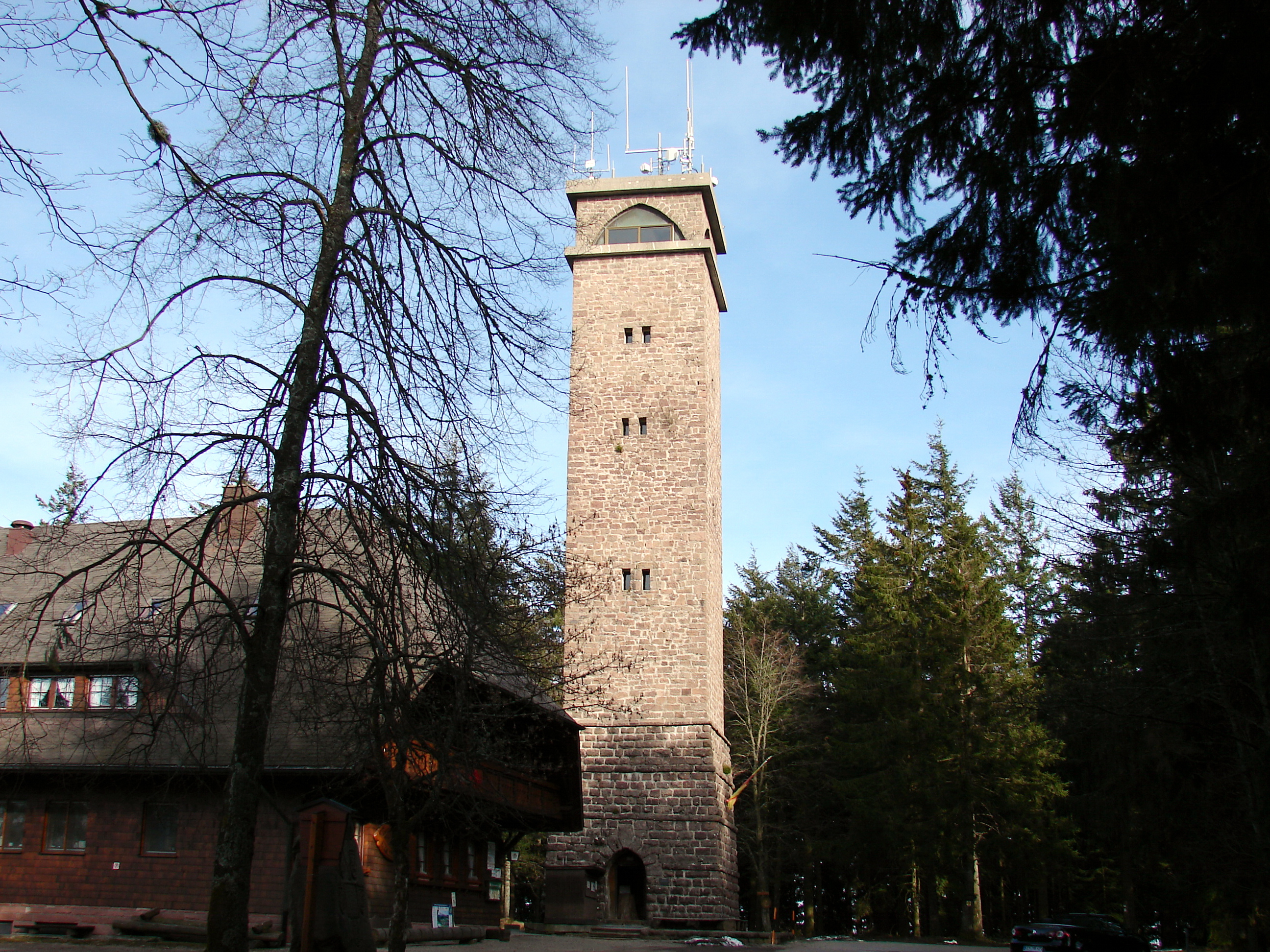
 The 32-metre-high Brandenkopf Tower (''Brandenkopfturm'') has stood on the summit since 1929. This is a stone observation tower, which has extensive views over the Black Forest countryside and, on clear days, as far as the Alps, Vosges and
 ''Windkraft in Baden-Württemberg''
. Internet page of the Federal Wind Power Association. Retrieved 3 September 2014.
Central Black Forest
The Central Black Forest (german: Mittlerer Schwarzwald), also called the Middle Black Forest, is a natural or cultural division of the Black Forest in Baden-Württemberg in Germany. It generally refers to a region of deeply incised valleys from t ...
in southern Germany. The mountain lies in the county of Ortenaukreis in the state of Baden-Württemberg within the municipalities of Oberharmersbach
Oberharmersbach ( gsw, label= Low Alemannic, Haamerschbach) is a town in the district of Ortenau in Baden-Württemberg in Germany
Germany,, officially the Federal Republic of Germany, is a country in Central Europe. It is the second ...
, Fischerbach
Fischerbach is a town in the district of Ortenau in Baden-Württemberg in Germany.
History
The town was first registered in 1139. The village was part of the Gengenbach monastery and the "Herren von Wolfach" (a noble family first registered in ...
and Hausach, its summit is part of Oberharmersbach. The mountain forms the prominent centrepiece between the valleys of the Kinzig, the Wolf and the Harmersbach.
The name of the Brandenkopf ("Fire Peak") is derived from a great forest fire
A wildfire, forest fire, bushfire, wildland fire or rural fire is an unplanned, uncontrolled and unpredictable fire in an area of Combustibility and flammability, combustible vegetation. Depending on the type of vegetation present, a wildfire ...
in 1730. Before this event it was called the ''Varnlehenskopf''.
The Brandenkopf is well developed with roads and footpaths (including the Hansjakobweg II and a link to the West Way, 3.5 km away) from several directions.
There is a transmitter, the Sender Brandenkopf, on the mountain.
Sights
 The 32-metre-high Brandenkopf Tower (''Brandenkopfturm'') has stood on the summit since 1929. This is a stone observation tower, which has extensive views over the Black Forest countryside and, on clear days, as far as the Alps, Vosges and
 Swabian Jura
The Swabian Jura (german: Schwäbische Alb , more rarely ), sometimes also named Swabian Alps in English, is a mountain range in Baden-Württemberg, Germany, extending from southwest to northeast and in width. It is named after the region of ...
. Before the stone tower was built there had been wooden predecessor structures.
The Black Forest Club maintains a hiking home and attached café on the Brandenkopf. The favourable location of the mountain, with its average wind speed oft 5.8 m/s at a height of 10 metres is exploited by a wind turbine.
In summer 2002 a second wind turbine, the ''Bürgerwindrad Brandenkopf'', was opened about 350 metres west of the hiking home. This turbine, an Enercon E-58, which has a hub height of 70 metres (100 metres total height) generating a nominal 1000 kW, produces an average of 2,000,000 kWh of electrical power per year. and is thus one of the best sites in Germany in its performance class. In 2006 over 2,300 hours at full load were achieved.. Internet page of the Federal Wind Power Association. Retrieved 3 September 2014.
References
External links
{{Commonscat Mountains and hills of Baden-Württemberg Mountains and hills of the Black Forest