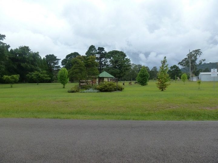
Bostobrick, New South Wales on:
[Wikipedia]
[Google]
[Amazon]
 Bostobrick is a village located on Tyringham Road in northern
 "Bostobrick on bonzle.com."
Retrieved 21, January 2012.
 Bostobrick is a village located on Tyringham Road in northern
 New South Wales
New South Wales (commonly abbreviated as NSW) is a States and territories of Australia, state on the Eastern states of Australia, east coast of :Australia. It borders Queensland to the north, Victoria (state), Victoria to the south, and South ...
, Australia
Australia, officially the Commonwealth of Australia, is a country comprising mainland Australia, the mainland of the Australia (continent), Australian continent, the island of Tasmania and list of islands of Australia, numerous smaller isl ...
. As of 2016, it has a population of 136. Bostobrick was first settled in 1857, when cedar loggers came to harvest the timber in what was then known as 'Bostobrick Scrub'.
Approximately north of Dorrigo, Bostobrick is located on the Dorrigo Plateau
The Dorrigo Plateau is a plateau in the Northern Tablelands and New England regions of New South Wales, Australia. The plateau forms part of the Great Dividing Range and is sometimes referred to as the Dorrigo and Guy Fawkes Plateau.
The hig ...
within the Bellingen Shire
Bellingen Shire is a local government area in the Mid North Coast region of New South Wales, Australia. The shire is located adjacent to the Pacific Highway, Waterfall Way and the North Coast railway line.
The mayor of the Bellingen Shire ...
. It receives an annual rainfall of per year, and is at an elevation of above sea level.Retrieved 21, January 2012.
References
1857 establishments in Australia Localities in New South Wales Populated places established in 1857 Mid North Coast {{NewSouthWales-geo-stub