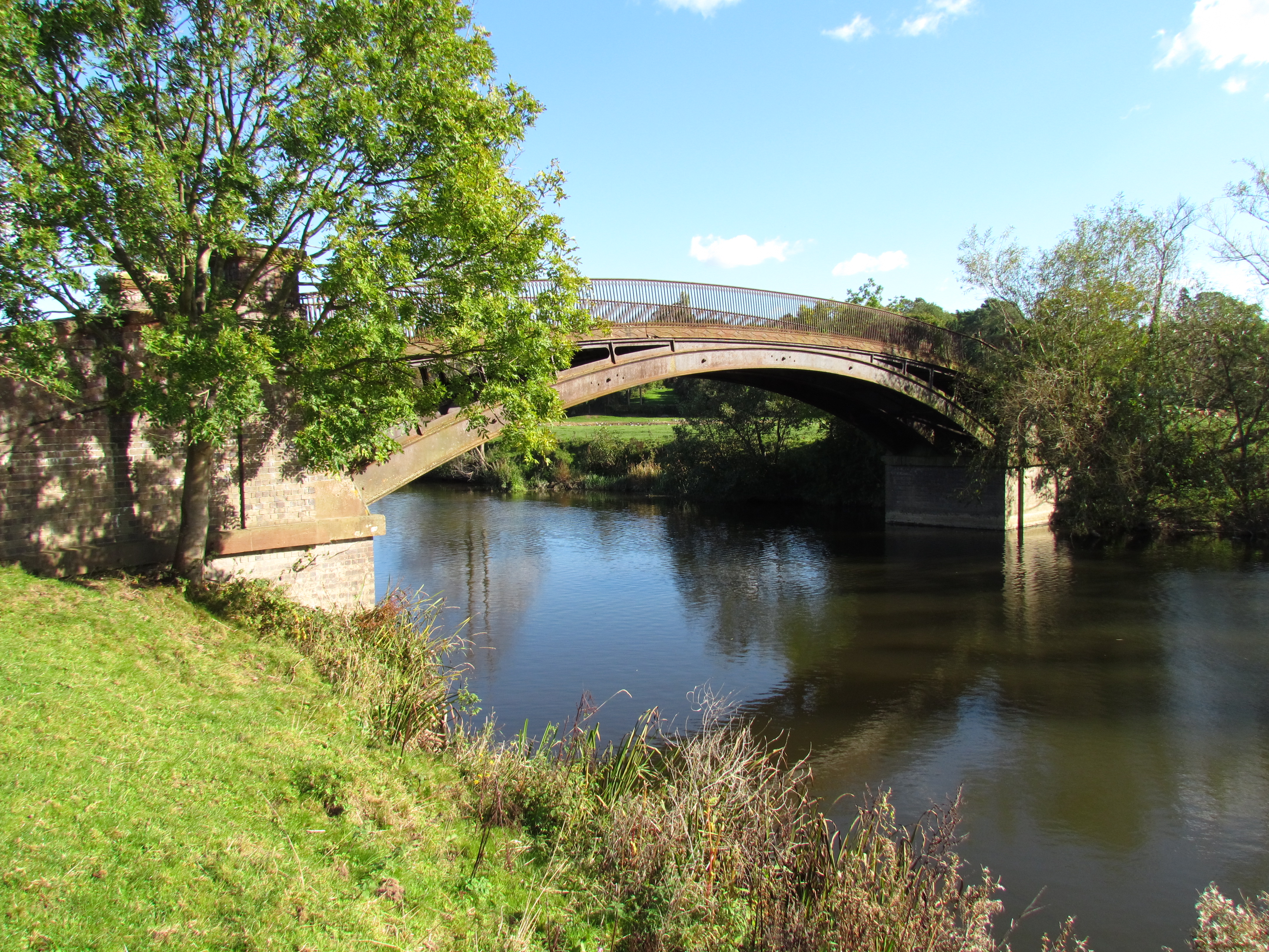
Bevere, Worcestershire on:
[Wikipedia]
[Google]
[Amazon]
 North Claines is a
 North Claines is a
 civil parish
In England, a civil parish is a type of administrative parish used for local government. It is a territorial designation which is the lowest tier of local government below districts and counties, or their combined form, the unitary authority ...
in Wychavon
Wychavon is a local government district in Worcestershire, England, with a population size of 132,500 according to the 2021 census. Its council is based in the town of Pershore, and the other towns in the district are Droitwich Spa and Evesha ...
district, Worcestershire
Worcestershire ( , ; written abbreviation: Worcs) is a county in the West Midlands of England. The area that is now Worcestershire was absorbed into the unified Kingdom of England in 927, at which time it was constituted as a county (see His ...
, England, immediately north of the city of Worcester
Worcester may refer to:
Places United Kingdom
* Worcester, England, a city and the county town of Worcestershire in England
** Worcester (UK Parliament constituency), an area represented by a Member of Parliament
* Worcester Park, London, Engla ...
. It includes the settlements of Fernhill Heath
Fernhill Heath is a village in Worcestershire, England. It is in the civil parish of North Claines in Wychavon district.
Fernhill Heath is located on the A38 main road on the north-side of the City of Worcester and is approximately 3 miles north ...
, Bevere, Lower Town, and Hawford
Hawford is a hamlet in Worcestershire, England.
It falls within two parishes; North Claines and Ombersley and Doverdale in the outer suburbs of Worcester about 3 miles from the city centre. It is bisected by the River Salwarpe, the Droitwich - W ...
. It is bordered to the west and north west by the River Severn
, name_etymology =
, image = SevernFromCastleCB.JPG
, image_size = 288
, image_caption = The river seen from Shrewsbury Castle
, map = RiverSevernMap.jpg
, map_size = 288
, map_c ...
and the River Salwarpe
The River Salwarpe is a long river in Worcestershire, England. It is a left bank tributary of the River Severn, which it joins near Hawford.
Course
The Salwarpe is formed by the confluence of the Battlefield and Spadesbourne Brooks in Bromsgr ...
, with the Droitwich Canal
The Droitwich Canal is a synthesis of two canals in Worcestershire, England; the Droitwich Barge Canal and the Droitwich Junction Canal. The Barge Canal is a broad canal which opened in 1771 linking Droitwich Spa to the River Severn at Hawford ...
running parallel to the Salwarpe.
The parish was formed in 1885 when the southern part of the parish of Claines
Claines is a small village just to the north of Worcester, England, Worcester, England, on the east bank of the River Severn. Claines is situated in the heart of Worcestershire on the A449 between Worcester and Kidderminster. It has a church which ...
was incorporated into Worcester under the Worcester Incorporation Act.
At the 2021 census the parish had a population of 4,460. The area of the parish was stated as .
The parish has a parish council, the lowest level of local government. It is part of Lovett and North Claines ward
Ward may refer to:
Division or unit
* Hospital ward, a hospital division, floor, or room set aside for a particular class or group of patients, for example the psychiatric ward
* Prison ward, a division of a penal institution such as a pris ...
(which had a 2021 population of 7,647) for elections to Wychavon district council.
there are 30 listed building
In the United Kingdom, a listed building or listed structure is one that has been placed on one of the four statutory lists maintained by Historic England in England, Historic Environment Scotland in Scotland, in Wales, and the Northern Irel ...
s in the parish: Bevere House and the Mill Hall at grade II* and 28 including bridges, houses and a canal lock, at grade II.To view the full list, go to https://historicengland.org.uk/listing/the-list/advanced-search?searchType=nhleadvancedsearch and enter "North Claines" as "Parish"
References
Further reading
* {{coords, 52.234, -2.213, region:GB_type:city, display=title Civil parishes in Worcestershire Wychavon