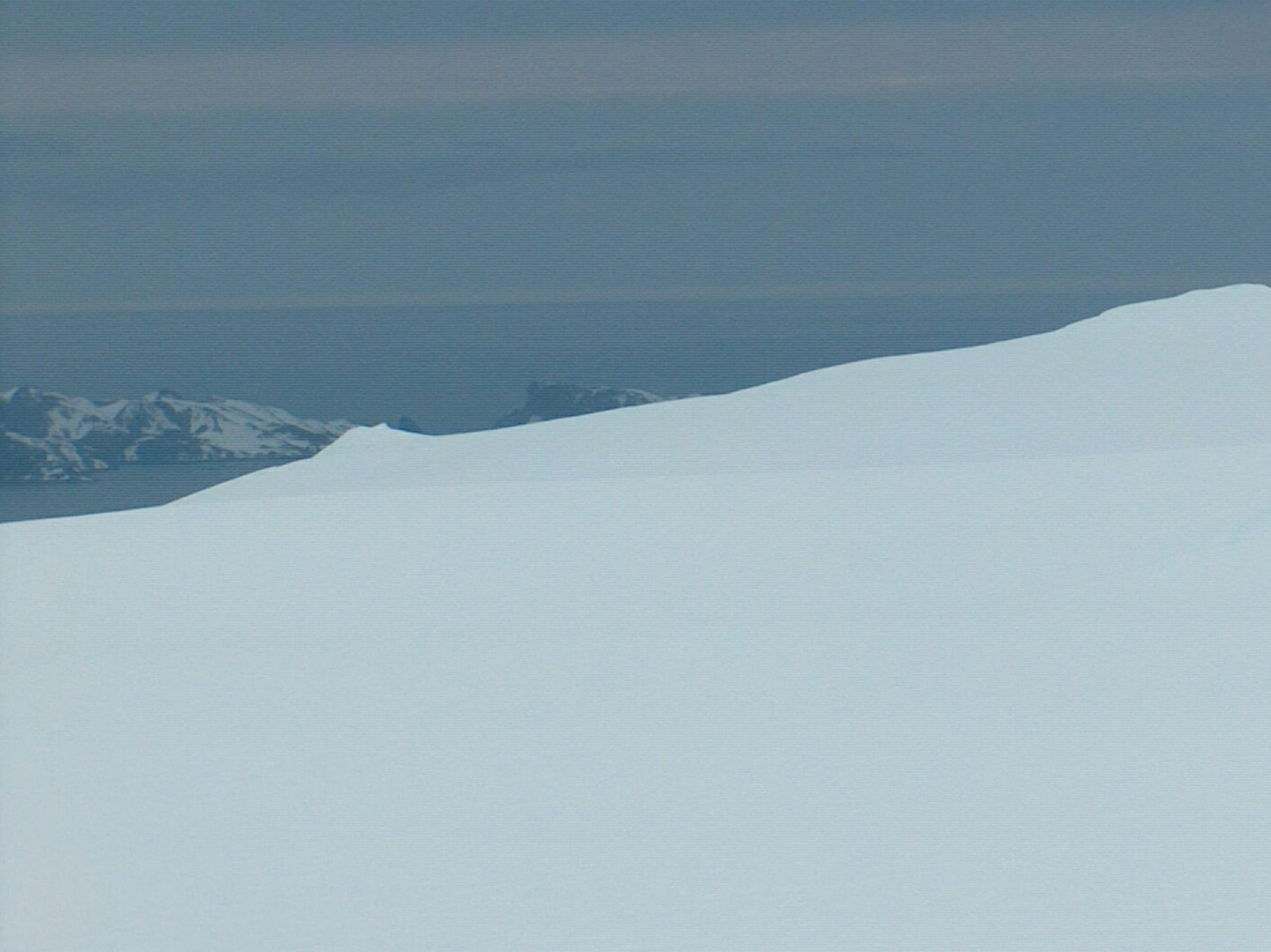
Beroe Hill on:
[Wikipedia]
[Google]
[Amazon]


 Beroe Hill (Halm Beroe \'h&lm be-'ro-e\) is a hill of 400 m in the southwest extremity of
Antarctica: Livingston Island and Greenwich, Robert, Snow and Smith Islands
Scale 1:120000 topographic map. Troyan: Manfred Wörner Foundation, 2009. * A. Kamburov and L. Ivanov. Bowles Ridge and Central Tangra Mountains: Livingston Island, Antarctica. Scale 1:25000 map. Sofia: Manfred Wörner Foundation, 2023.
Beroe Hill.
SCAR Composite Gazetteer of Antarctica
Bulgarian Antarctic Gazetteer.
Antarctic Place-names Commission. (details in Bulgarian
basic data
in English)
Beroe Hill.
Copernix satellite image {{Bulgarian-named Antarctic place Hills of Livingston Island Stara Zagora


 Beroe Hill (Halm Beroe \'h&lm be-'ro-e\) is a hill of 400 m in the southwest extremity of
 Gleaner Heights
The Gleaner Heights are a series of elevations extending for southwest from Leslie Hill in the eastern part of Livingston Island in the South Shetland Islands, Antarctica. They are separated from Leslie Hill by Elhovo Gap, and from Hemus Peak ...
, Livingston Island
Livingston Island (Russian name ''Smolensk'', ) is an Antarctic island in the Southern Ocean, part of the South Shetlands Archipelago, a group of Antarctic islands north of the Antarctic Peninsula. It was the first land discovered south of 60 ...
, West Antarctica. It is surmounting Perunika Glacier
Perunika Glacier ( bg, ледник Перуника, lednik Perunika, ) is an 8 km long and 3 km wide (average) roughly crescent-shaped glacier in eastern Livingston Island in the South Shetland Islands, Antarctica situated east o ...
to the south and Saedinenie Snowfield
Saedinenie Snowfield ( bg, ледник Съединение, lednik Saedinenie, ) on Livingston Island in the South Shetland Islands, Antarctica is situated southwest of Rose Valley Glacier, west of Panega Glacier, northwest of Kaliakra Glacier ...
to the northwest. The hill was named after the ancient Thracian
The Thracians (; grc, Θρᾷκες ''Thrāikes''; la, Thraci) were an Indo-European speaking people who inhabited large parts of Eastern and Southeastern Europe in ancient history.. "The Thracians were an Indo-European people who occupied ...
town of Beroe, ancestor of the present city of Stara Zagora.
Location
The hill is located at which is 1.9 km southwest of the summit of the heights, 4.7 km north-northeast ofRezen Knoll
Rezen Knoll ( bg, връх Резен, vrah Rezen, ) is a knoll rising to 433 m in eastern Livingston Island in the South Shetland Islands, Antarctica. The knoll is bounded to the east, north and west by Perunika Glacier, and linked to Burdi ...
and 3 km northwest of Hemus Peak
Hemus Peak ( bg, връх Хемус, vrah Hemus, ) is an ice-covered peak rising to off the northwest extremity of Bowles Ridge in eastern Livingston Island. The feature is breast-shaped, long in east-west direction and wide, and overlooks K ...
.
Bulgarian mapping in 2005, 2009 and 2017 from the Tangra 2004/05
The Tangra 2004/05 Expedition was commissioned by the Antarctic Place-names Commission at the Ministry of Foreign Affairs of Bulgaria, managed by the Manfred Wörner Foundation, and supported by the Bulgarian Antarctic Institute, the In ...
topographic survey.
Maps
* L.L. Ivanov et al. Antarctica: Livingston Island and Greenwich Island, South Shetland Islands. Scale 1:100000 topographic map. Sofia: Antarctic Place-names Commission of Bulgaria, 2005. * L.L. IvanovAntarctica: Livingston Island and Greenwich, Robert, Snow and Smith Islands
Scale 1:120000 topographic map. Troyan: Manfred Wörner Foundation, 2009. * A. Kamburov and L. Ivanov. Bowles Ridge and Central Tangra Mountains: Livingston Island, Antarctica. Scale 1:25000 map. Sofia: Manfred Wörner Foundation, 2023.
References
Beroe Hill.
SCAR Composite Gazetteer of Antarctica
Bulgarian Antarctic Gazetteer.
Antarctic Place-names Commission. (details in Bulgarian
basic data
in English)
External links
Beroe Hill.
Copernix satellite image {{Bulgarian-named Antarctic place Hills of Livingston Island Stara Zagora