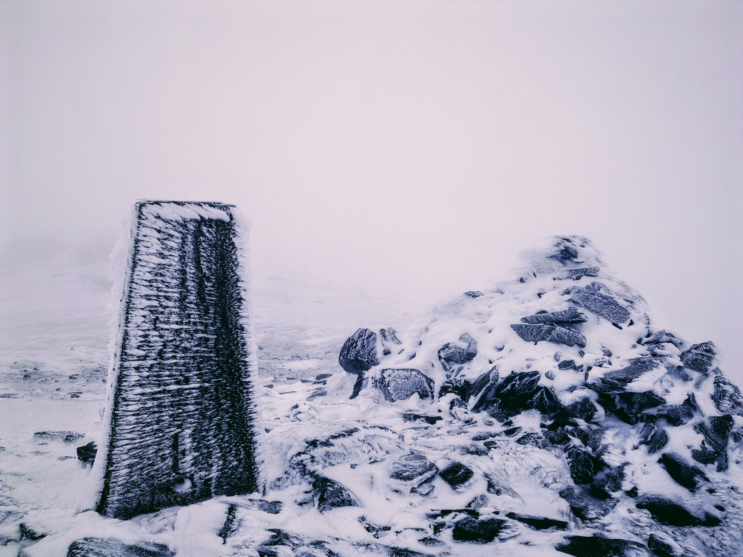
Ben Vorlich, Loch Lomond on:
[Wikipedia]
[Google]
[Amazon]
Ben Vorlich () is a mountain in the 
Arrochar Alps
The Arrochar Alps are a group of mountains located around the heads of Loch Long, Loch Fyne, and Loch Goil. They are part of the Grampian mountains range, which stretch across Scotland. The villages of Arrochar, Argyll and Bute, Arrochar and Lo ...
of Argyll
Argyll (; archaically Argyle; , ), sometimes called Argyllshire, is a Shires of Scotland, historic county and registration county of western Scotland. The county ceased to be used for local government purposes in 1975 and most of the area ...
, in the Southern Highlands
Highland is a broad term for areas of higher elevation, such as a mountain range or mountainous plateau.
Highland, Highlands, or The Highlands, may also refer to:
Places Africa
* Highlands, Johannesburg, South Africa
* Highlands, Harare, Zimbab ...
of Scotland
Scotland is a Countries of the United Kingdom, country that is part of the United Kingdom. It contains nearly one-third of the United Kingdom's land area, consisting of the northern part of the island of Great Britain and more than 790 adjac ...
. It reaches , making it a Munro
A Munro (; ) is defined as a mountain in Scotland with a height over , and which is on the Scottish Mountaineering Club (SMC) official list of Munros; there is no explicit topographical prominence requirement. The best known Munro is Ben Nevi ...
. It lies between Loch Lomond
Loch Lomond (; ) is a freshwater Scottish loch which crosses the Highland Boundary Fault (HBF), often considered the boundary between the lowlands of Central Scotland and the Highlands.Tom Weir. ''The Scottish Lochs''. pp. 33-43. Published by ...
and Loch Sloy. Ben Vorlich is the highest point of the historic county of Dunbartonshire
Dunbartonshire () or the County of Dumbarton is a Shires of Scotland, historic county, lieutenancy areas of Scotland, lieutenancy area and registration county in the west central Lowlands of Scotland lying to the north of the River Clyde. Dunbar ...
.
The A82 road
The A82 is a major road in Scotland that runs from Glasgow to Inverness via Fort William, Highland, Fort William. It is one of the principal north-south routes in Scotland and is mostly a trunk road managed by Transport Scotland, who view it a ...
and the West Highland railway line run on the eastern side of Ben Vorlich, above the shoreline of Loch Lomond.
The peak forms a north–south ridge on the western side of Loch Lomond, with a subsidiary ridge known as ''Little Hills'' running from the summit east down to the shores of the loch. There are three small summits around 800 m apart along the main ridge; the central one is the highest, though the southern one has a trig point
A triangulation station, also known as a trigonometrical point, and sometimes informally as a trig, is a fixed surveying station, used in geodetic surveying and other surveying projects in its vicinity.
The station is usually set up by a map ...
.

References
Munros Marilyns of Scotland Mountains and hills of the Southern Highlands Sites of Special Scientific Interest in Dumbarton and North Glasgow Protected areas of Argyll and Bute Highest points of historic Scottish counties Mountains and hills of Argyll and Bute {{Argyll-geo-stub