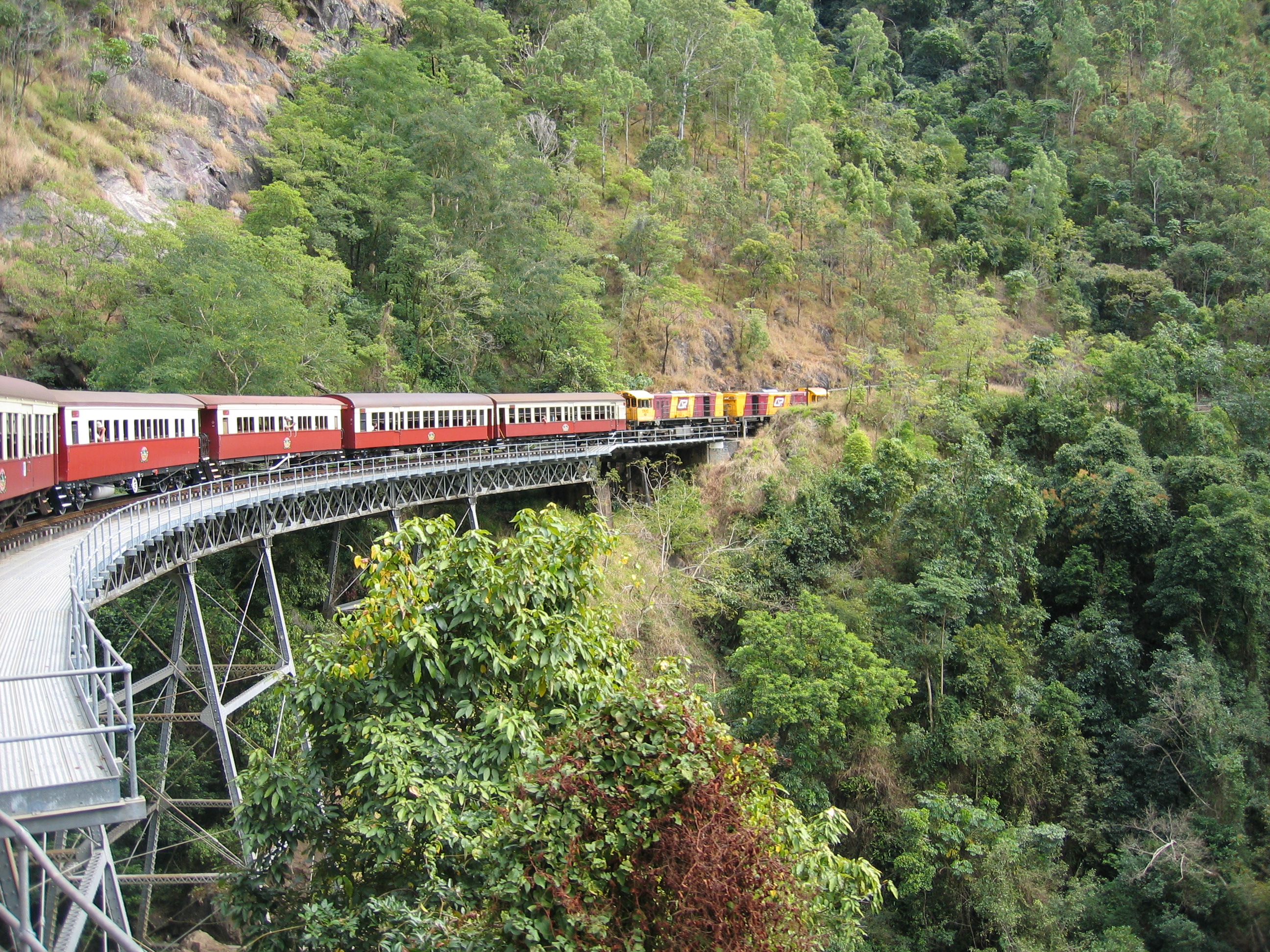
Barron Gorge, Queensland on:
[Wikipedia]
[Google]
[Amazon]
Barron Gorge is a rural locality in the Cairns Region, Queensland, Australia. In the Barron Gorge had a population of 0 people.
Springs is a neighbourhood in the narrow centre part of the locality ().
 The
The
Geography
Almost the entire area of the locality is undeveloped land within theBarron Gorge National Park
Barron Gorge National Park is a protected area in the Cairns Region, Queensland, Australia. It is predominantly within the locality of Barron Gorge.
Geography
The park is 1,404 km northwest of Brisbane and from Kuranda. Barron Gorge ...
which also extends into a number of neighbouring localities. The land rises from approximately 10 metres above sea level to the east of the locality up to a number of named peaks, including:
* Red Peak, above sea level in the north of the locality ().
* North Peak, in the middle of the locality ()
* Mount Williams, also known as Tokim Peak, in the south of the locality ()
* Red Bluff, a cliff ()
The name of the locality derives from the gorge
A canyon (from ; archaic British English spelling: ''cañon''), or gorge, is a deep cleft between escarpments or cliffs resulting from weathering and the erosion, erosive activity of a river over geologic time scales. Rivers have a natural tenden ...
created by the Barron River through the Macalister Range and the Lamb Range. The
The Cairns-to-Kuranda railway line
The Cairns-to-Kuranda Railway is a heritage-listed railway line from the Cairns Region to the Shire of Mareeba, both in Queensland, Australia. It commences at Redlynch, a suburb of Cairns and travels up the Great Dividing Range to Kuranda wi ...
provides the north-western boundary of the locality and also part of the south-eastern locality. The railway line is used by the Kuranda Scenic Railway tourist service which includes stops at scenic lookouts. There were two railway stations on this line within the locality:
* Springs railway station, now abandoned ().