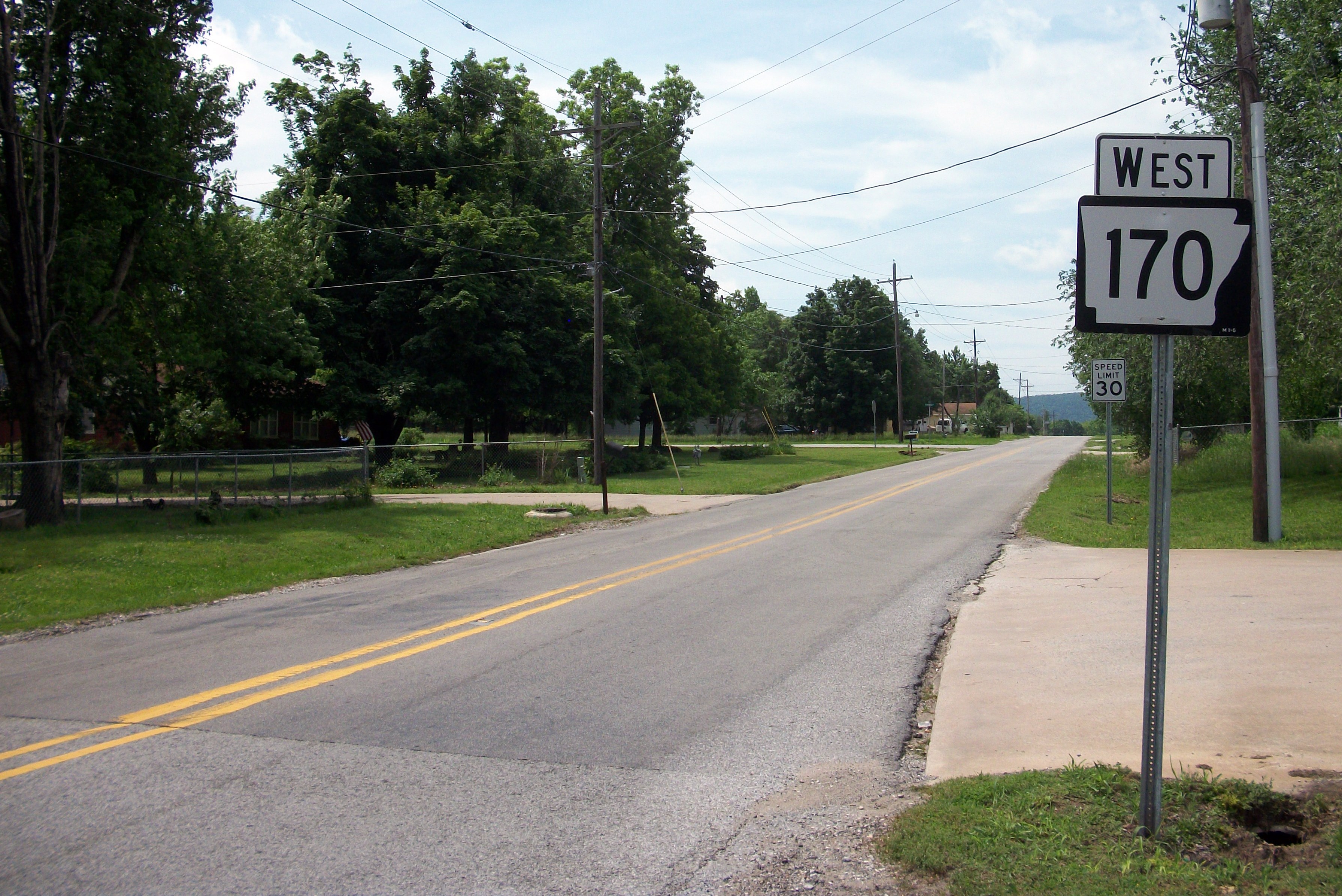
Arkansas 170 on:
[Wikipedia]
[Google]
[Amazon]
Arkansas Highway 170 (AR 170, Hwy. 170) is a designation for two

state highway
A state highway, state road, or state route (and the equivalent provincial highway, provincial road, or provincial route) is usually a road that is either ''numbered'' or ''maintained'' by a sub-national state or province. A road numbered by a ...
s in Washington County, Arkansas
Washington County is a regional economic, educational, and cultural hub in the Northwest Arkansas region. Created as Arkansas's 17th county on November 30, 1848, Washington County has 13 incorporated municipalities, including Fayetteville, Arka ...
. The main segment of runs from Devil's Den State Park
Devil's Den State Park is a Arkansas state park in Washington County, near West Fork, Arkansas in the United States. The park was built by the Civilian Conservation Corps, beginning in 1933. Devil's Den State Park is in the Lee Creek Valley in ...
to West Fork. A shorter segment of runs from U.S. Route 62
U.S. Route 62 or U.S. Highway 62 (US 62) runs from the Mexican border at El Paso, Texas, to Niagara Falls, New York, near the Canadian border. It is the only east-west United States Numbered Highway that connects Mexico and Canada ...
(US 62) through Appleby before reconnecting with US 62.
Route description

Devil's Den State Park to West Fork
AR 170 begins at a three-way junction with AR 74 and AR 220 inDevil's Den State Park
Devil's Den State Park is a Arkansas state park in Washington County, near West Fork, Arkansas in the United States. The park was built by the Civilian Conservation Corps, beginning in 1933. Devil's Den State Park is in the Lee Creek Valley in ...
. The route runs north, winding through steep Ozark
The Ozarks, also known as the Ozark Mountains, Ozark Highlands or Ozark Plateau, is a physiographic region in the U.S. states of Missouri, Arkansas, Oklahoma and the extreme southeastern corner of Kansas. The Ozarks cover a significant portio ...
topography
Topography is the study of the forms and features of land surfaces. The topography of an area may refer to the land forms and features themselves, or a description or depiction in maps.
Topography is a field of geoscience and planetary sci ...
. AR 170 serves as the southern terminus of AR 265 near the SEFOR reactor. The highway continues north through rural country, crossing over I-49
Interstate 49 (I-49) is a north–south Interstate Highway that exists in multiple segments: the original portion entirely within the state of Louisiana with an additional signed portion extending from Interstate 220 (Louisiana), I-220 in S ...
. East of the expressway
Expressway may refer to:
* Controlled-access highway, the highest-grade type of highway with access ramps, lane markings, etc., for high-speed traffic.
* Limited-access road, a lower grade of highway or arterial road.
*Expressway, the fictional s ...
, AR 170 enters West Fork. The route enters town as Phillips St, turns south onto McKnight St, and turns left onto Main St. AR 170 continues to US Route 71
U.S. Route 71 or U.S. Highway 71 (US 71) is a major north–south United States highway that extends for over 1500 miles (2500 km) in the central United States. This original 1926 route has remained largely unchanged by encroaching Interstat ...
, where the route terminates.
Walnut Grove to Farmington
AR 170 begins atUS 62
U.S. Route 62 or U.S. Highway 62 (US 62) runs from the Mexican border at El Paso, Texas, to Niagara Falls, New York, near the Canadian border. It is the only east-west United States Numbered Highway that connects Mexico and Canada ...
at Walnut Grove (northeast of Prairie Grove) and runs north/northeast to US 62 in Farmington
Farmington may refer to:
Places Canada
*Farmington, British Columbia
* Farmington, Nova Scotia (disambiguation)
United States
*Farmington, Arkansas
*Farmington, California
*Farmington, Connecticut
*Farmington, Delaware
* Farmington, Georgia
* ...
. The route runs over the Cane Hill Road Bridge, and serves Appleby.
History
The highway was created between 1936 and 1937 as a semicircle loop from Winslow to US 71 near West Fork via Devil's Den State Park. In Farmington, AR 170 follows the original 1926 alignment ofAR 45
Highway 45 (AR 45, Ark. 45, or Hwy. 45) is a designation for three state highways in northwest Arkansas. The southern segment of runs from Highway 96 north across US Route 71 (US 71) to Interstate 540/US 71 (I-540/US 71) in For ...
which later became US 62.
Major intersections
See also
References
External links
{{commons category-inline, Arkansas Highway 170170
Year 170 ( CLXX) was a common year starting on Sunday (link will display the full calendar) of the Julian calendar. At the time, it was known as the Year of the Consulship of Clarus and Cornelius (or, less frequently, year 923 ''Ab urbe condita ...
Transportation in Washington County, Arkansas