Araripe Plateau on:
[Wikipedia]
[Google]
[Amazon]
The Chapada do Araripe, also known as the Serra do Araripe, is a '' chapada'' (


 Mountain ranges of Brazil
Global Geoparks Network members
Geoparks in Brazil
Landforms of Pernambuco
{{Pernambuco-geo-stub
plateau
In geology and physical geography, a plateau (; ; ), also called a high plain or a tableland, is an area of a highland consisting of flat terrain that is raised sharply above the surrounding area on at least one side. Often one or more sides ha ...
) in northeastern Brazil
Brazil ( pt, Brasil; ), officially the Federative Republic of Brazil (Portuguese: ), is the largest country in both South America and Latin America. At and with over 217 million people, Brazil is the world's fifth-largest country by area ...
. The chapada forms the boundary of Ceará
Ceará (, pronounced locally as or ) is one of the 26 states of Brazil, located in the northeastern part of the country, on the Atlantic coast. It is the eighth-largest Brazilian State by population and the 17th by area. It is also one of the ...
and Pernambuco
Pernambuco () is a state of Brazil, located in the Northeast region of the country. With an estimated population of 9.6 million people as of 2020, making it seventh-most populous state of Brazil and with around 98,148 km², being the 19 ...
states, and forms the watershed between the Jaguaribe River
The Jaguaribe River is a highly seasonal river in Ceará state of northeastern Brazil. Two large dams were constructed across the Jaguaribe, the Orós Dam, completed in 1960, and the Castanhão Dam, completed in 2003. The Castanhão Dam flooded th ...
of Ceará, which flows northward into the Atlantic, and the much larger basin of the São Francisco River
The São Francisco River (, ) is a large river in Brazil. With a length of , it is the longest river that runs entirely in Brazilian territory, and the fourth longest in South America and overall in Brazil (after the Amazon, the Paraná and t ...
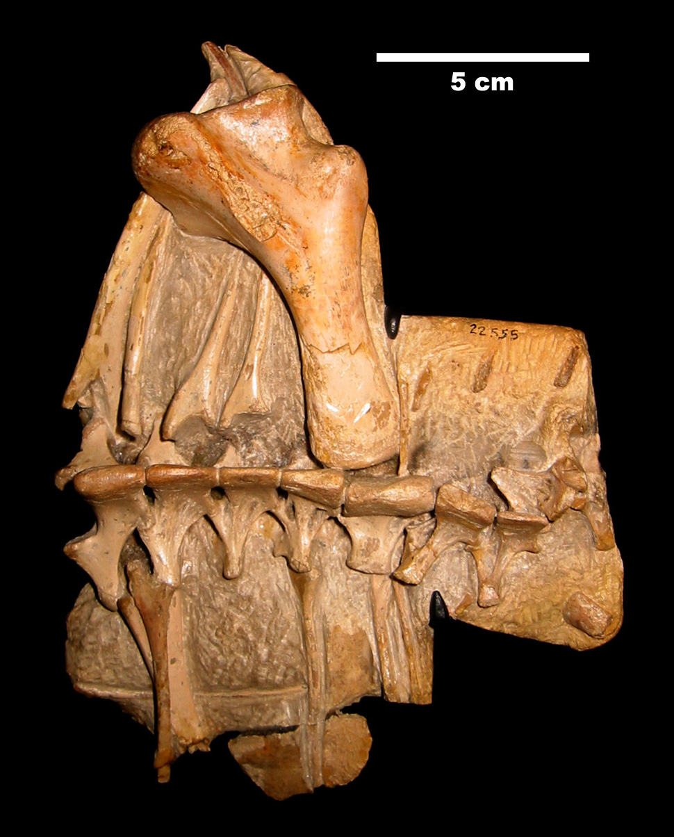
of Pernambuco and neighboring states, which drains eastward into the Atlantic. The Santana Formation, which is rich with fossils from the early Cretaceous
The Cretaceous ( ) is a geological period that lasted from about 145 to 66 million years ago (Mya). It is the third and final period of the Mesozoic Era, as well as the longest. At around 79 million years, it is the longest geological period of th ...
, lies at the base of the chapada. The Araripe manakin (''Antilophia bokermanni''), a bird only described in 1998, is endemic
Endemism is the state of a species being found in a single defined geographic location, such as an island, state, nation, country or other defined zone; organisms that are indigenous to a place are not endemic to it if they are also found elsew ...
to Chapada do Araripe.
Etymology
The word "Araripe" stems from theTupi Tupi may refer to:
* Tupi people of Brazil
* Tupi or Tupian languages, spoken in South America
** Tupi language, an extinct Tupian language spoken by the Tupi people
* Tupi oil field off the coast of Brazil
* Tupi Paulista, a Brazilian municipalit ...
word ''ararype'', meaning "macaw
Macaws are a group of New World parrots that are long-tailed and often colorful. They are popular in aviculture or as companion parrots, although there are conservation concerns about several species in the wild.
Biology
Of the many differe ...
at the river" (''arara'', macaw + y'', river + ''pe'', at).NAVARRO, E. A. ''Dicionário de tupi antigo: a língua indígena clássica do Brasil''. São Paulo. Global. 2013. p. 545.
References


 Mountain ranges of Brazil
Global Geoparks Network members
Geoparks in Brazil
Landforms of Pernambuco
{{Pernambuco-geo-stub