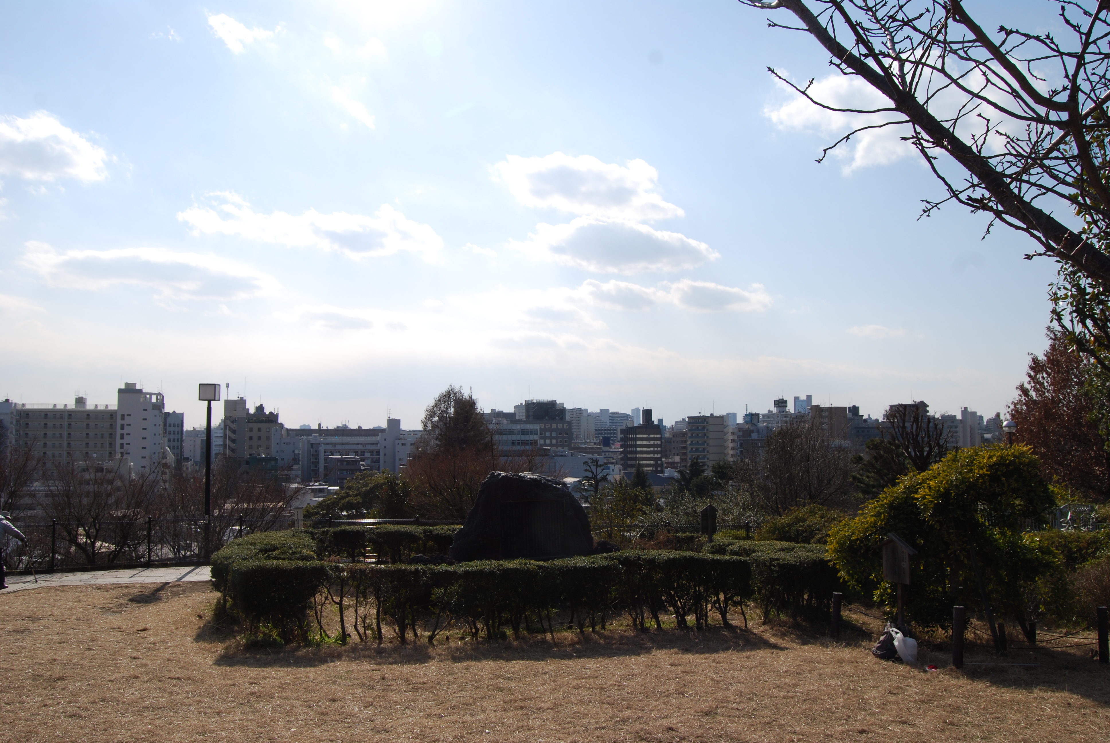
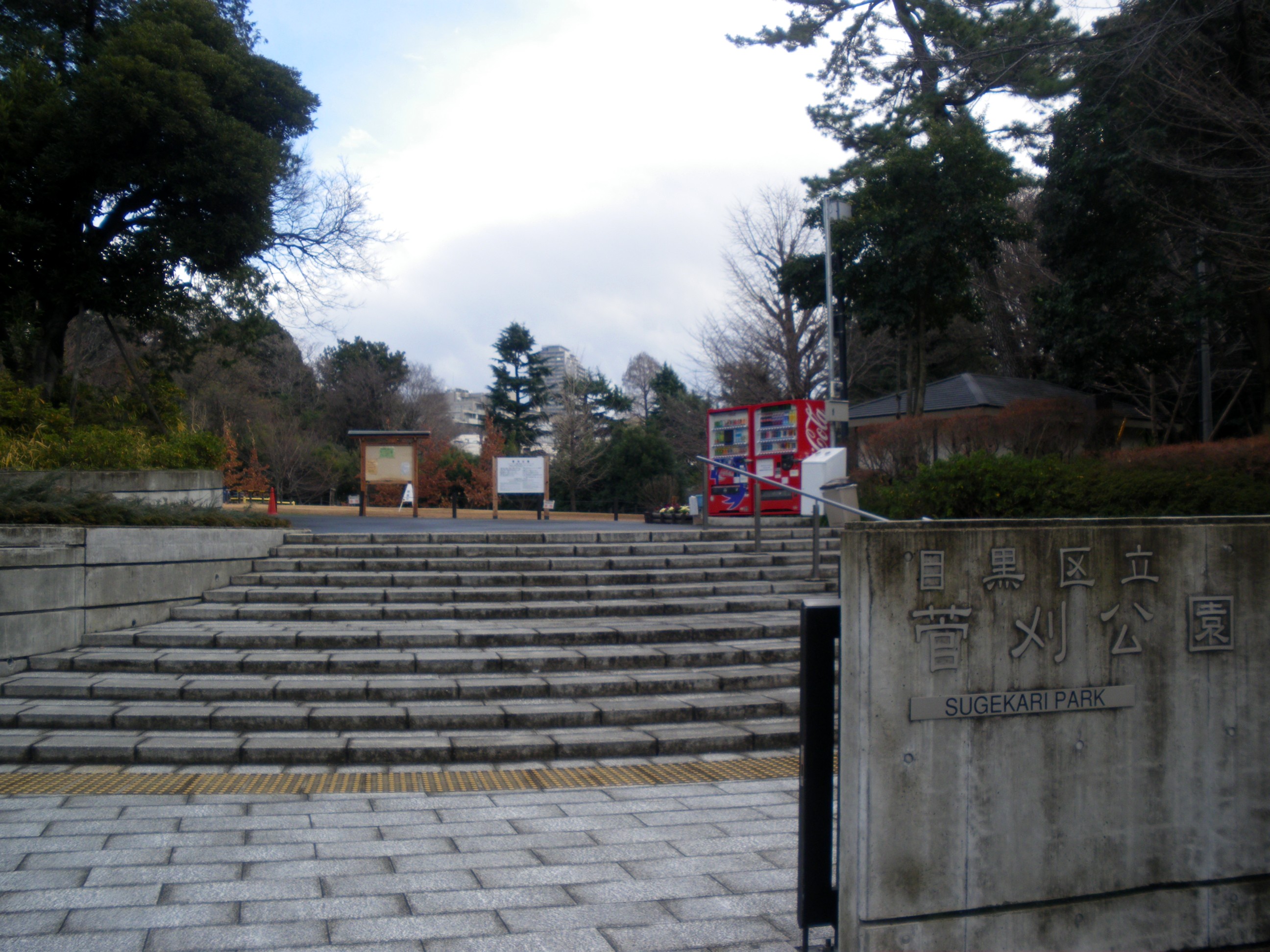
Aobadai, Meguro, Tokyo on:
[Wikipedia]
[Google]
[Amazon]


 is a district located in the northern portion of
Sugekari_Elementary_School.JPG, Sugekari Elementary School ( ŤŹÖŚąąŚįŹŚ≠¶ś†°)
Meguro
is a special ward in Tokyo, Japan. The English translation of its Japanese self-designation is Meguro City. The ward was founded on March 15, 1947.
Meguro is predominantly residential in character, but is also home to light industry, corporate ...
, Tokyo
Tokyo (; ja, śĚĪšļ¨, , ), officially the Tokyo Metropolis ( ja, śĚĪšļ¨ťÉĹ, label=none, ), is the capital and largest city of Japan. Formerly known as Edo, its metropolitan area () is the most populous in the world, with an estimated 37.468 ...
, Japan
Japan ( ja, śó•śú¨, or , and formally , ''Nihonkoku'') is an island country in East Asia. It is situated in the northwest Pacific Ocean, and is bordered on the west by the Sea of Japan, while extending from the Sea of Okhotsk in the north ...
, which consists of 1 to 4-chŇćme
The Japanese addressing system is used to identify a specific location in Japan. When written in Japanese characters, addresses start with the largest geographical entity and proceed to the most specific one. When written in Latin characters, ad ...
. As of October 1, 2020, it has a total population of 8,362.
Geography
The Aobadai district bordersShinsenchŇć
is a district of Shibuya, Tokyo, Japan.
As of October 2020, the population of this district is 2,104. The postal code for ShinsenchŇć is 150‚Äď0045.
The headquarters of Parco are located here.
Transportation Rail
Nearest stations are Shins ...
, NanpeidaichŇć, HachiyamachŇć, and SarugakuchŇć on the north across ; Kamimeguro on the south; and Higashiyama, ŇĆhashi
ŇĆhashi, Ohashi or Oohashi (written: Ś§ßś©č lit. "large bridge") is a Japanese surname. Notable people with the surname include:
* Akira Ohashi (born 1968), Japanese actor
*Ayaka Ohashi (born 1994), Japanese voice actress
*Kyosen ŇĆhashi (born 193 ...
, Komaba on the west and northwest across .
A hillside neighborhood in Aobadai 2-chŇćme is known as , literally meaning "SaigŇć Mountain." It was named so because SaigŇć Tsugumichi SaigŇć may refer to:
Places
* SaigŇć, Shimane
* SaigŇć, Miyazaki
People
* SaigŇć-no-Tsubone (Lady SaigŇć) (1552‚Äď1589), consort of Tokugawa Ieyasu, the samurai lord and shŇćgun
* SaigŇć Takamori
* SaigŇć Tanomo
* Teruhiko SaigŇć
was a ...
, a Meiji-period
The is an era of Japanese history that extended from October 23, 1868 to July 30, 1912.
The Meiji era was the first half of the Empire of Japan, when the Japanese people moved from being an isolated feudal society at risk of colonization ...
politician and a younger brother of SaigŇć Takamori
was a Japanese samurai and nobleman. He was one of the most influential samurai in Japanese history and one of the three great nobles who led the Meiji Restoration. Living during the late Edo and early Meiji periods, he later led the Satsum ...
, owned a mansion there. The mansion was moved to the Meiji Mura
is an open-air architectural museum/theme park in Inuyama, near Nagoya in Aichi prefecture, Japan. It was opened on March 18, 1965. The museum preserves historic buildings from Japan's Meiji (1867‚Äď1912), TaishŇć (1912‚Äď1926), and early Sh ...
museum in Inuyama, Aichi
is a city in Aichi Prefecture, Japan. , the city had an estimated population of 73,420 in 31,276 households, and a population density of 980 persons per km2. The total area of the city is . The name of the city literally transliterates to "Dog ...
for preservation, and the site where SaigŇć's house existed is home to and .
Places of interest
Embassies
* Embassy ofEgypt
Egypt ( ar, ŔÖōĶōĪ , ), officially the Arab Republic of Egypt, is a transcontinental country spanning the northeast corner of Africa and southwest corner of Asia via a land bridge formed by the Sinai Peninsula. It is bordered by the Mediter ...
(Aobadai 1-5-4)
* Embassy of Senegal
Senegal,; Wolof: ''Senegaal''; Pulaar: ūě§Öūě§ęūě§≤ūě§ęūě§ļūě§Ęūě•Ąū짧ūě§≠ (Senegaali); Arabic: ōßŔĄō≥ŔÜōļōßŔĄ ''As-Sinighal'') officially the Republic of Senegal,; Wolof: ''R√©ewum Senegaal''; Pulaar : ū짹ūě§ęūě§≤ūě§£ūě§Ęūě•Ąūě§≤ūě§£ūě§≠ ūě ...
(Aobadai 1-3-4)
Other
* Japan Map Center (Aobadai 4-9-6)Education
Meguro City Board of Education operates public elementary and junior high schools. All of Aobadai 2-4-chome
The Japanese addressing system is used to identify a specific location in Japan. When written in Japanese characters, addresses start with the largest geographical entity and proceed to the most specific one. When written in Latin characters, ad ...
and part of 1-chome are zoned to Sugekari Elementary School ( ŤŹÖŚąąŚįŹŚ≠¶ś†°) and No. 1 Junior High School ( Á¨¨šłÄšł≠Ś≠¶ś†°). Parts of 1-chome are zoned to Karasumori Elementary School (ÁÉŹś£ģŚįŹŚ≠¶ś†°) and Higashiyama Junior High School ( śĚĪŚĪĪšł≠Ś≠¶ś†°).
Aobadai is home to an 1875-established elementary school, .
The institution of higher education located in this district is Sanno University. Although its main campus is located in Isehara, Kanagawa
260px, Isehara Shibuta River
260px, Mount Oyama Afuri Jinja
is a city located in Kanagawa Prefecture, Japan. , the city had an estimated population of 101,670 and a population density of 1800 persons per km². The total area of the city is .
Ge ...
, the university maintains the "Daikanyama Campus" in this district. The Aoba - Japan International School is also located in Aobadai.
References
{{Coord missing, Tokyo Districts of Meguro